Platform C - Syddyssen


This oak bench and viewing point by the design studio Fokstrot was completed in January 2020 and is. in part, a rethinking of the Copenhagen circular bench but here people face inwards rather than looking out as a place for conversation although there are also good views down the water to Kaninøen - a triangular island that was part of the outer defences of the city - or across the water, and back towards the city and to Christianshavns Vold, with the distinct twisted spire of Vor Frelsers Kirke or Church of Our Saviour.

The platform is less than 100 metres from the heavy traffic of Torvegade - the road down through Christianshavn from Knippelsbro to get over to Amager - but this could be a different world.
Walking from Christianshavn, at the end of the causeway over the water, Syddyssen is to the left, just before Christmas Møllers Plads, and is the footpath along the inner edge of the low outer embankment of the defences.

FOKSTROT

det grønne strøg / the green line - the high-level landscape of Kalvebod Brygge

An ambitious plan to create a raised landscape at a high level between new buildings on the railway side of Kalvebod Brygge was set out in the local plan of 2006 where it was described as if it was to be a series of hills.

The first part of the gardens, at the north end - with a steep slope up from Bernstorffsgade, between the towers of the SEB offices, was completed in 2009 and the gardens were soon extended on across the roof of a new archive building and through to the Tivoli Hotel and Congress Center. Then the new developments stalled.

The west end of the landscape gardens, through the Nexus building, has just been planted but construction work on the middle section, across the roof of a new IKEA store, has only just restarted.

All these new buildings, that frame the gardens, are between Kalvebod Brygge and Carsten Niebuhrs Gade and, when finished, the high-level landscape will extend for over a kilometre from Bernstorffsgade to a new railway traffic control tower on Otto Busses Vej.

Lokalplan nr. 403 "Rigsarkivet" 2006

the landscape scheme starts at Bernstorffsgade at the SEB buildings
a winding concrete path climbs up a steep slope from the road with well established trees

this sequence of photographs shows the gardens from Bernstorffsgade to Arni Magnussons Gade and the bridges across to Hotel Cabinn

At the city-centre end, at Bernstorffsgade, the landscape starts at street level with pathways twisting from side to side to climb up between the SEB buildings to a point 7 metres above the level of the pavement.

There is then a wide bridge that crosses a service road for the State Archive and the gardens continues between the archive stores on the side towards the railway and a newly-revamped office building, now known as KB32, on the Kalvebod Brygge side. That straight section of garden, 190 metres long and 29.6 metres wide, is 8 metres above the pavement of Kalvebod Brygge.

Maintaining that level, there is a single narrow bridge over another service road before the gardens open out between the towers of the Tivoli Hotel and Conference Centre.

Beyond the Tivoli hotels, there is a slightly odd and over-complicated series of narrow bridges - with handrails that would grace a multi-storey car park - that cross a wider street called Arni Magnussons Gade. It is a dual carriageway that will be the access to a new bus station between Carsten Niebuhrs Gade and the railway.

Here, the landscaped area first forms the canopy over the entrance to the Hotel Cabinn before the garden then climbs up steeply between the two towers of the hotel where it now ends abruptly at a fence before the next section where work has just started on building a new IKEA store.

There, about 17 metres above the pavement of Kalvebod Brygge, the garden or "green lounge" on the roof of IKEA will be level and will cross over Dybbølsbro.

Then, between the two towers of Kaktustårnene or The Cactus Towers designed by Bjarke Ingels, the gardens will drop down at a very steep angle to the entrance level to the two blocks of the new Nexus building and then, between the those two office blocks, drop down again to end at the level of Carsten Niebuhrs Gade.


map from 2006 in Kalvebod Lokalplan 403 with the different stages of the development of this area from the SEB site at I through to the IKEA site at IV ….
then, the green line was only to extend as far as the area where Kaktustårnene are, beyond Dybbølsbro, but not the site of the railway control tower

①  Danske Banks Hovedsæde / headquarters for Danske Bank by Lundgaard & Tranberg - under construction
②  SEB Bank & Pensions by Lundgaard & Tranberg 2008-2011 and The City Dune by SLA design studio
③  Rigsarkivet / State Archive by PLH Arkitekter
④  KB32 by Vilhelm Lauritzen Architects and JJW ARKITEKTER completed in 2021
⑤  Tivoli Congress Centre by Kim Utzon 2009-2016
⑥  Hotel Cabinn 2019
⑦  IKEA store by Dorte Mandrup - under construction
⑧  Kaktustårnene / The Cactus Towers by Bjarke Ingels - under construction
⑨  Nexus for Energistryrelsen Trafikstyrelsen and Banedanmark by Arkitema 2014-2019
⑩  Trafiktårnet Øst / Railway control tower by Tranberg Arkitekter 2013-2015

A Bernstorffsgade B Carsten Niebuhrs Gade C Kalvebod Brygge D proposed bus station E Dybbølsbro F Fisketorvet G Metro station opens 2024


the gardens on the steep slope where they climb up between the towers of Hotel Cabinn

from the bridge over Arni Magnussons Gade, the gardens climb steeply up to a temporary fence where the gardens will continue on over the roof of a new IKEA store


details of the planting and concrete paths on the slope up from Bernstorffsgade between the two SEB buildings by the landscape designers SLA

Planting is well-established between the SEB buildings with a good selection of trees, many with decorative bark, and with some that have grown up through large holes in the prominent concrete canopies of the buildings. Narrow slots in the concrete path channel away rain water that is recycled for watering the trees and shrubs.

Across the roof of the archive, the design is more architectural with low planting and trellis that form a sequence of simple spaces with seating. The gardens help control the temperature and internal climate of the archive.

The section through the Tivoli Hotel has well-established shrubs and trees but the spaces could be better used. This is one area that might be treated like public squares and might even be used to host events. It would also be the one place, along the length of the gardens, that might benefit from a small coffee bar or cafe although, generally, the main character of the gardens is that it is quiet or peaceful ... when taking some of these photographs on a Sunday morning, only two people walked through and there were birds singing loudly in the trees.

The steep path up between the towers of Hotel Cabinn has no trees and although the low planting is good - with a variety of leaf types and shrubs - the plants could be in bolder groups, to create a stronger architectural character against the stark buildings, rather than being scattered. There are benches at intervals up the slope where you can take in the views.

At various points through the gardens there are views out between the buildings to the railway and Vesterbro on one side and through to the south harbour on the other.

There are drawings of the proposed garden on the roof of the IKEA store but it is difficult to imagine how the areas of planting will then drop down the steep slope between the Cactus Towers although Bjarke Ingels has produced planted areas at a similar steep angle on the 8 Building in Ørestad and at Copenhill on the roof of the Amager Bakke incinerator.

Where the garden drops down again between the two blocks of the Nexus building, new planting has established itself quickly and there is an interesting concrete rill or channel to take rain water down through the garden.

Back at the city end, when finished, new headquarters for Danske Bank on Bernstorffsgade immediately north of the SEB towers, will have broad flights of steps up between the buildings to a new terrace overlooking the railway and this will be connected to the main landscaping by a bridge over Carsten Niebuhrs Gade between the SEB building and the Archive.

When finished there will be public access for the full length of the high landscape and with steps up to the gardens at several intermediate points.

new steps up to the gardens with Tivoli Hotel to the left and Hotel Cabinn to the right and with the cross road Arni Magnussons Gade between the two hotels


the gardens on the roof over the IKEA store with the two Catus Towers beyond

the far end of the gardens where it drops down between the two blocks of the Nexus building with a view of the new railway control tower beyond


Det Grønne Strøg - the green line - will continue through Kaktustårnene / Cactus Towers

Kaktustårnene or the Cactus Towers at Dybbølsbro will not be finished until the summer and it is still difficult to see how the high landscape of Det Grønne Strøg / the Green Line will transition across from the roof of the new IKEA store - still under construction - and then drop down steeply to the level of the entrance to the NEXUS building.

From the street and from the shopping centre of Fisketorvet, you can see what appears to be a large, square slab of concrete set at a sharp angle at the base of the towers and that forms, in part, the roof of a large, open, lobby or entrance into the towers and supported on high and slender columns. Drawings show that there will be a sharply-winding path dropping down between the towers through planting.

The towers were designed by BIG - Bjarke Ingels Group - and they have experience of forming steep landscapes at 8Tallet in Ørestad and on the roof of the Bakke or incinerator which is steep enough for a ski slope.

When finished this summer, there will be 495 apartments in the towers that are wedge shaped and each has a striking and sharply-angled balcony.

There will be a few apartments with two rooms but most are single studio rooms of just 33 square metres and have been described as providing "Micro Living" so it is slightly ironic that publicity material promotes the location as next to a new IKEA store when the furniture in the apartments is fitted and with little space for anything else. They even seem to have a bed that is, it appears from drawings, to be a mattress on the large windowsill.

Marketing of the apartments is aimed at young, single, people and there will be communal spaces in the towers for meeting and eating but they might also appeal to professionals who want a base for working in the city during the week but return home at weekends.

Copenhagen has a chronic shortage of housing for students and for single young professionals so it will be interesting to see how quickly tenants are found but my guess is that living in Kaktustårnene will be popular and fashionable.

from the entrance to the shopping centre at Fisketorvet with the two round towers of Kaktustårnene still being fitted with balconies but with the lobby area on slender columns in place
straight ahead is Dybbølsbro - the bridge crossing the railway to the suburban railway station and to Vesterbro beyond
Det Grønne Strøg - the Green line - will be carried over the road with a bridge or bridges from the roof of the IKEA store

looking towards Kaktustårnene at the lower level of Carsten Niebuhrs Gade with the first stages of the IKEA building to the left showing just how high above street level the garden across the roof will be
Dybbølsbro runs across the view left to right with the lobby of the entrance and the towers beyond …. the public gardens of the Green Line will continue from the roof of IKEA to the roof of the lobby and then drop down at a sharp angle to the level of the entrance to the NEXUS building beyond

the green line continues through Nexus by Arkitema

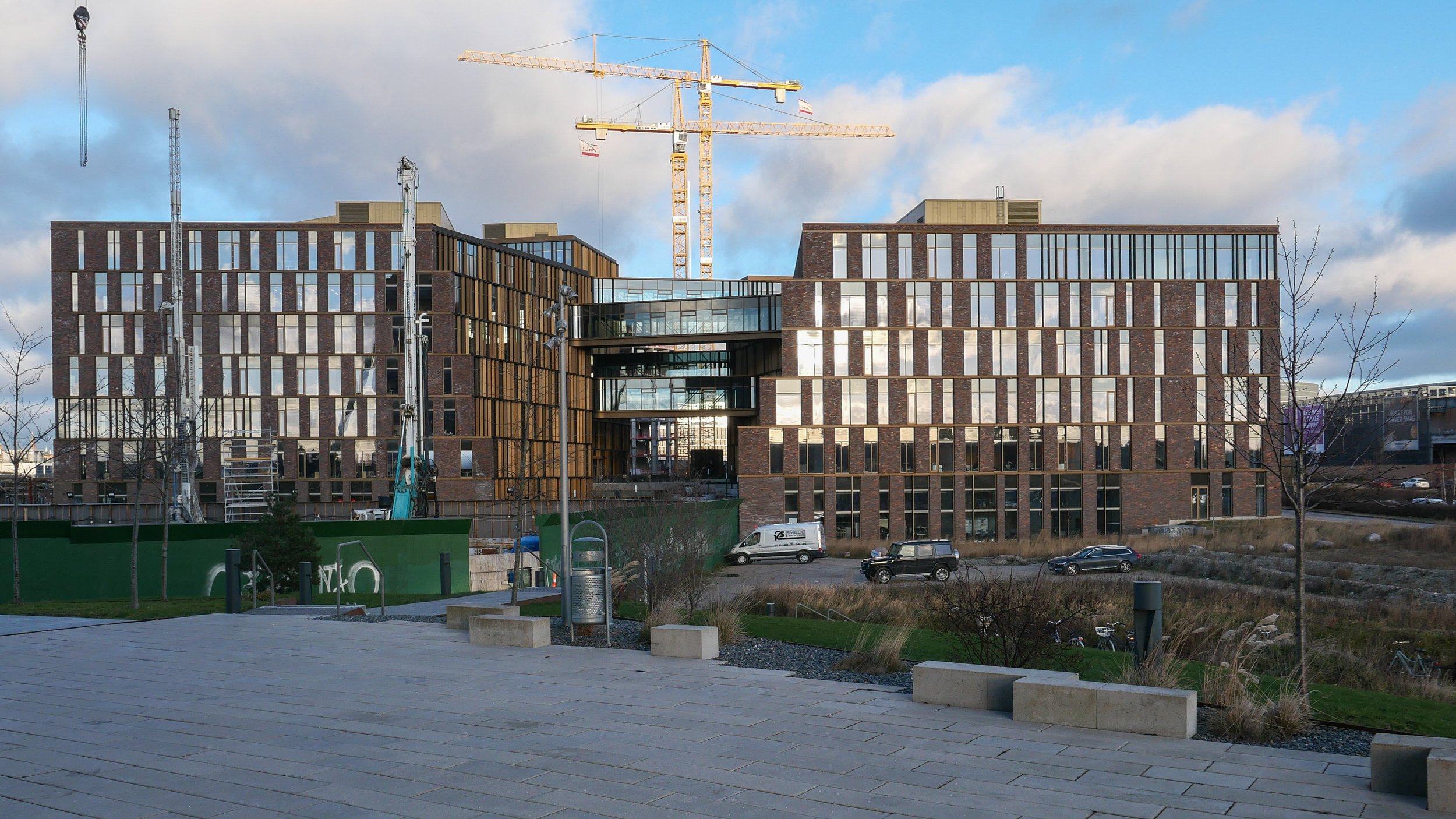
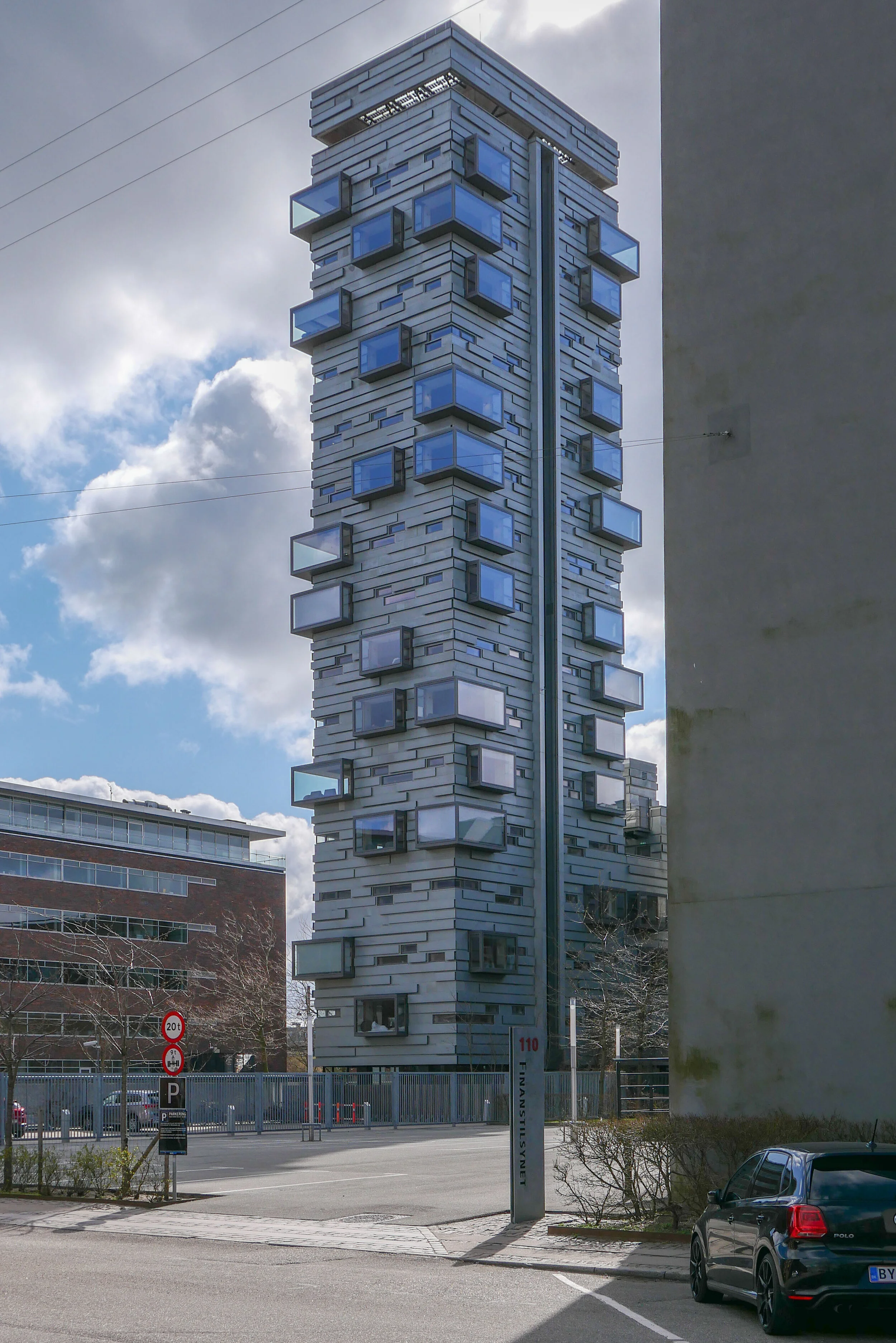
Nexus is a large, new building where there are offices for five public agencies … Rail Net Denmark, the Danish Transport Authority, the Danish Road Directorate, the Danish Building Authority and the Danish Energy Agency.

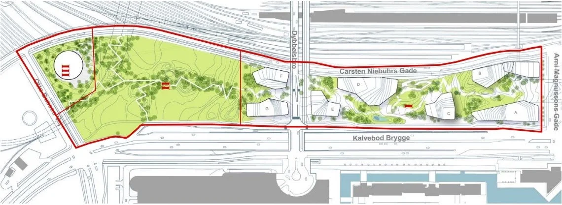
From the air view, you can see that there is a complicated, clover-leaf arrangement of four blocks and each with an atrium. From the streets around and from the central 'courtyard' this underlying arrangement is not so obvious.

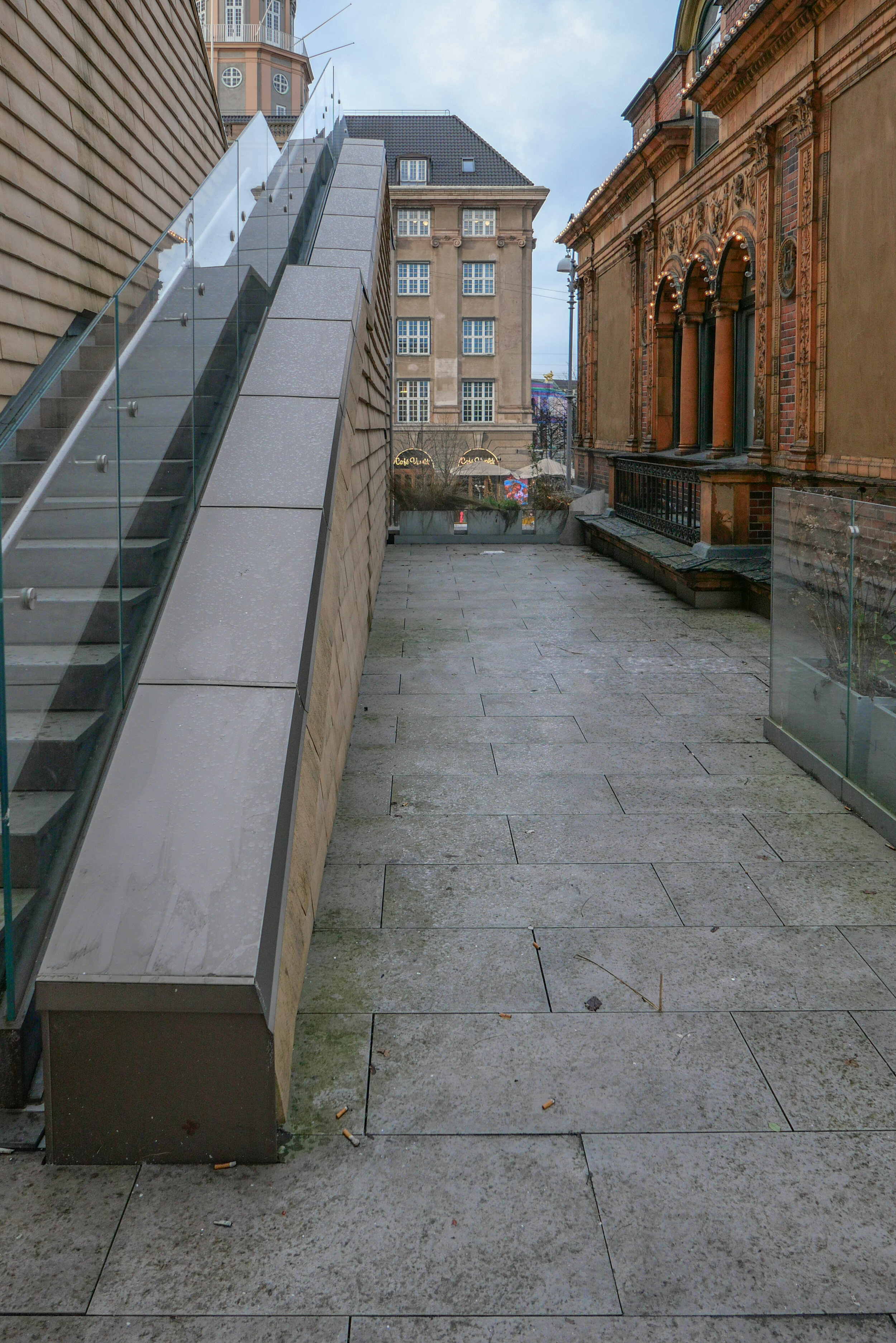
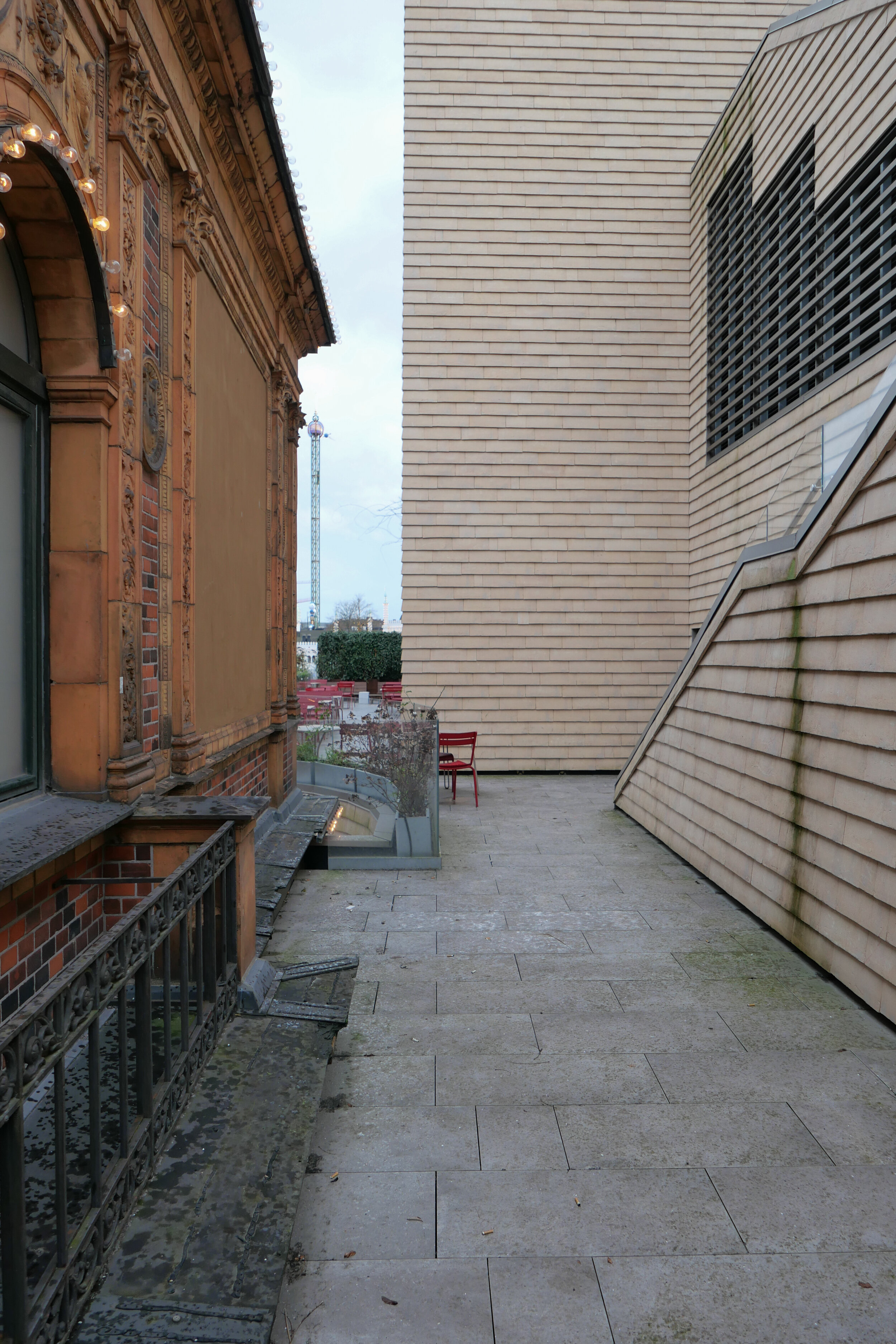
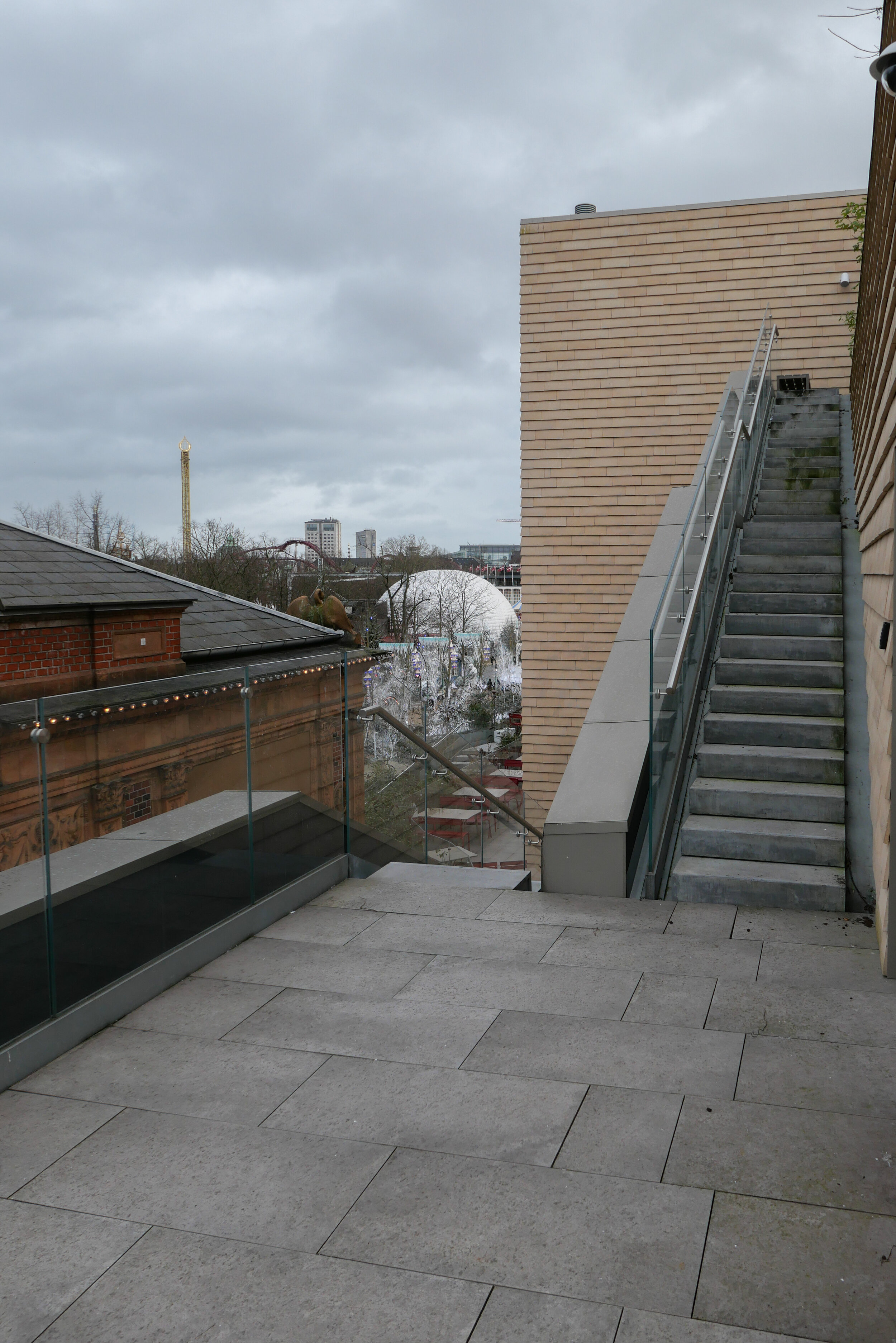
There are tight, outward-facing open courtyard on both sides of the building …. so on the north side, towards the railway, there is a relatively narrow courtyard with a main entrance from the street level of Carl Niebuhrs Gade and, on the opposite side, towards Kalvebod Brygge, there is a comparable open courtyard that appears to be primarily a light well for what would otherwise be a large and deep block.

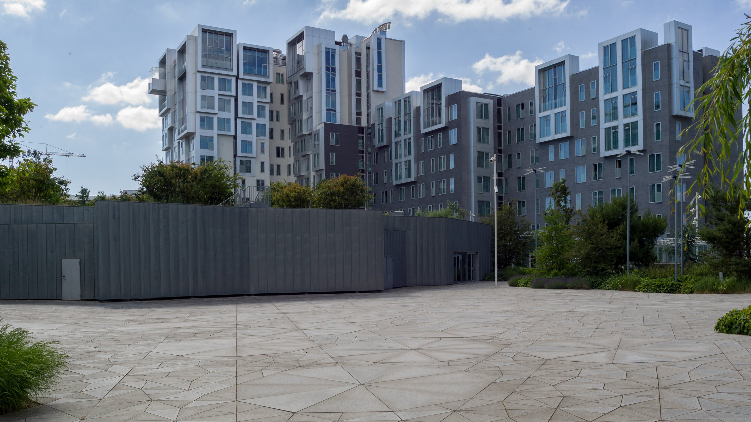
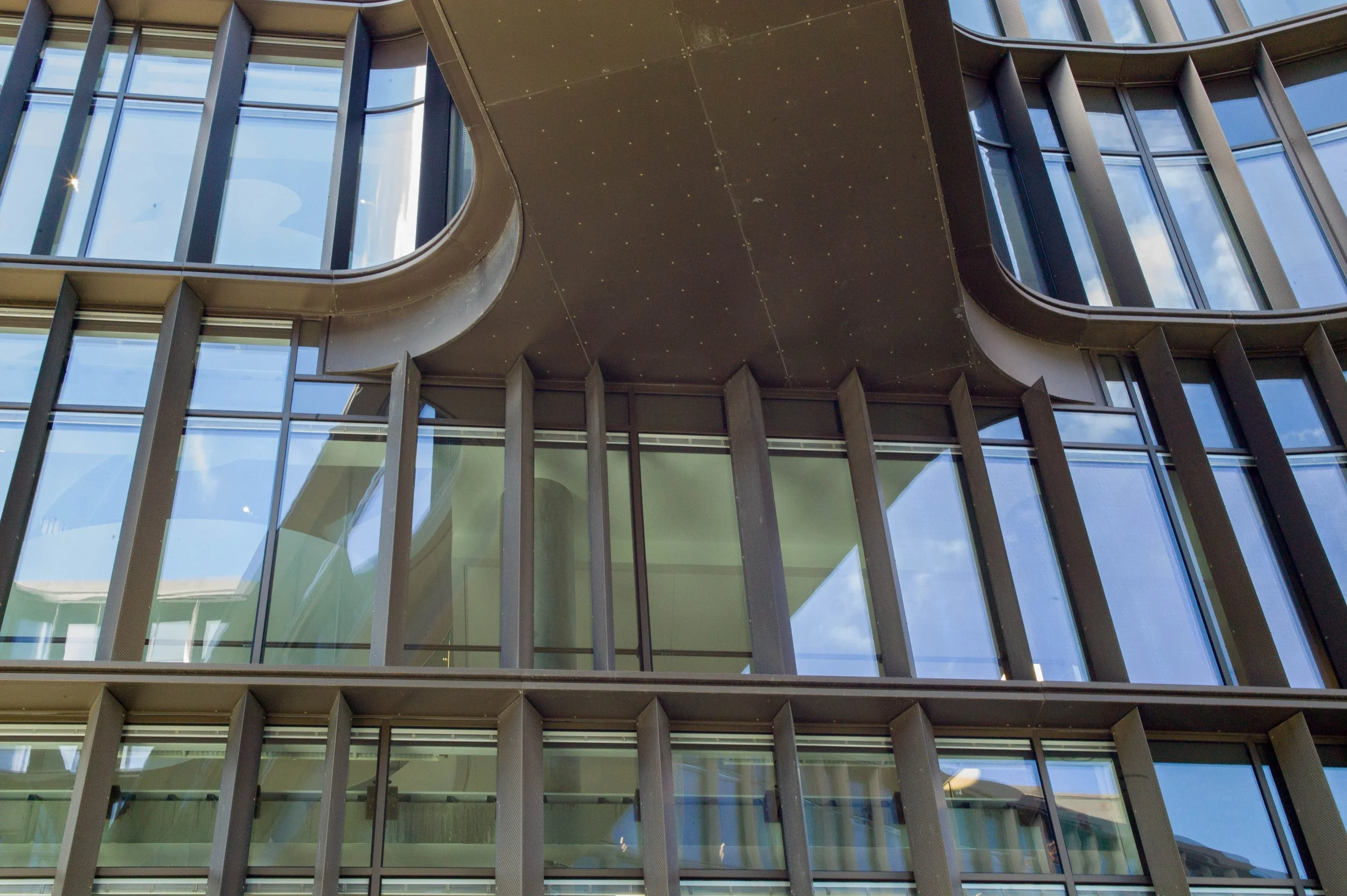
Judging by eye, the south block of the four, has two corners set at right angles - so just one side - the inner side - is set at an angle. Two blocks have a single corner each that is at a right angle - the north block with a 90 degree angle towards the small courtyard on its east side and the east block with one external right angle, towards Fisketorvet. The west block has no right angles so there appears to be a game going on here.

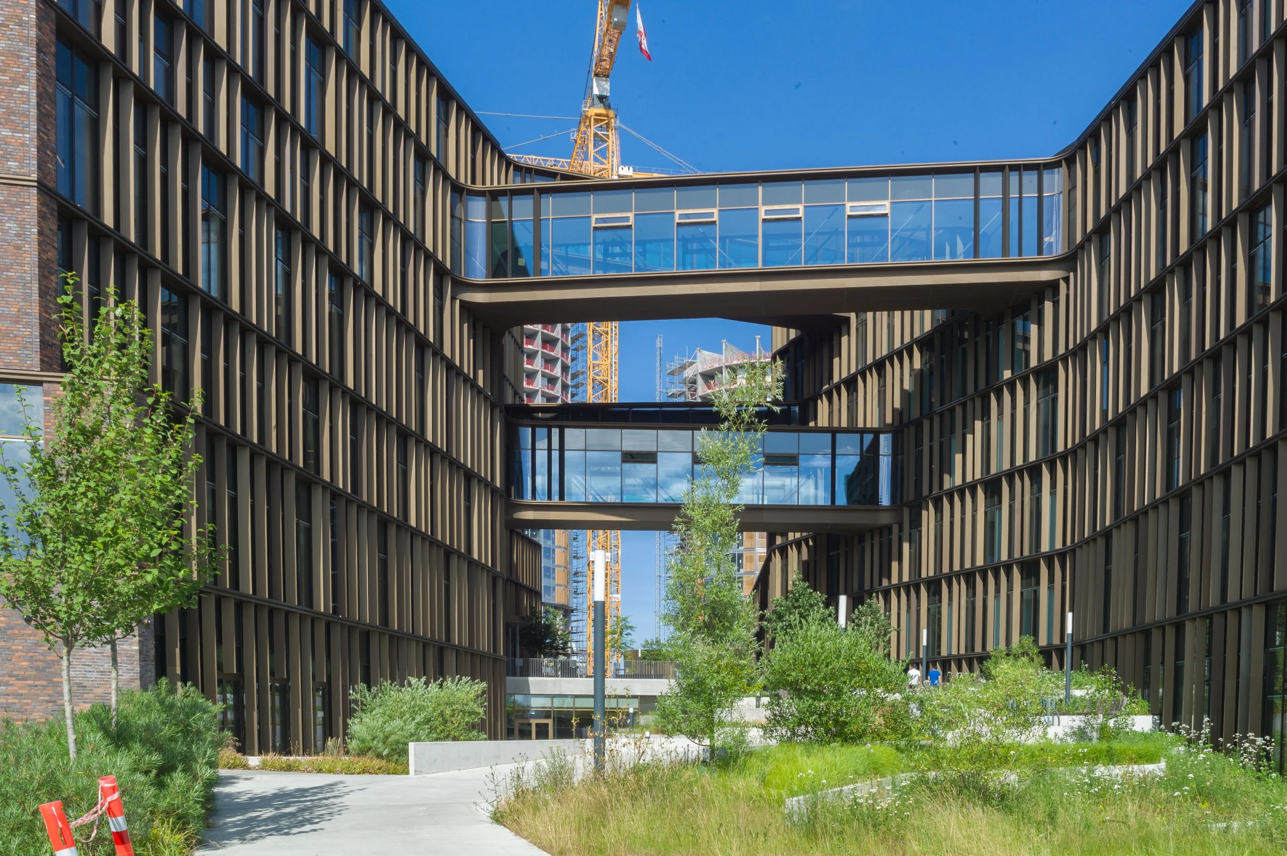
It's partly about how someone understands the relationships of the blocks from the outside as they approach the building and in part its about how the view out from the offices is guided by the angle of the external wall.

Some upper levels step back at each floor and change angle slightly so. again, it is about how the blocks are perceived and it hints, unlike a sheer wall, that the building is turning or twisting. The set backs are too small to make much difference to the shadow thrown by the building.

With the garden through the centre of the building, as part of the green line, the visitor is drawn in by the angles narrowing towards a main entrance to the offices at the upper level but also, from the entrance, the angles opening out beyond shows you the way out and on down.

This is a very sophisticated combination of angles, levels and landscape that control and direct how people see the building but also how they move around and into the building.

Inside, the atriums, staircases, wide public areas and views out to courtyards and so on all suggest a flexible work environment and is very much about people move around even during the working day. This is a stark contrast to 'modern' Danish office buildings of the 1950s and 1960s like Søllerød Town Hall by Arne Jacobsen where the over-riding arrangement in the office building is a spine corridor with single-cell work spaces on either side and that is repeated on each floor.

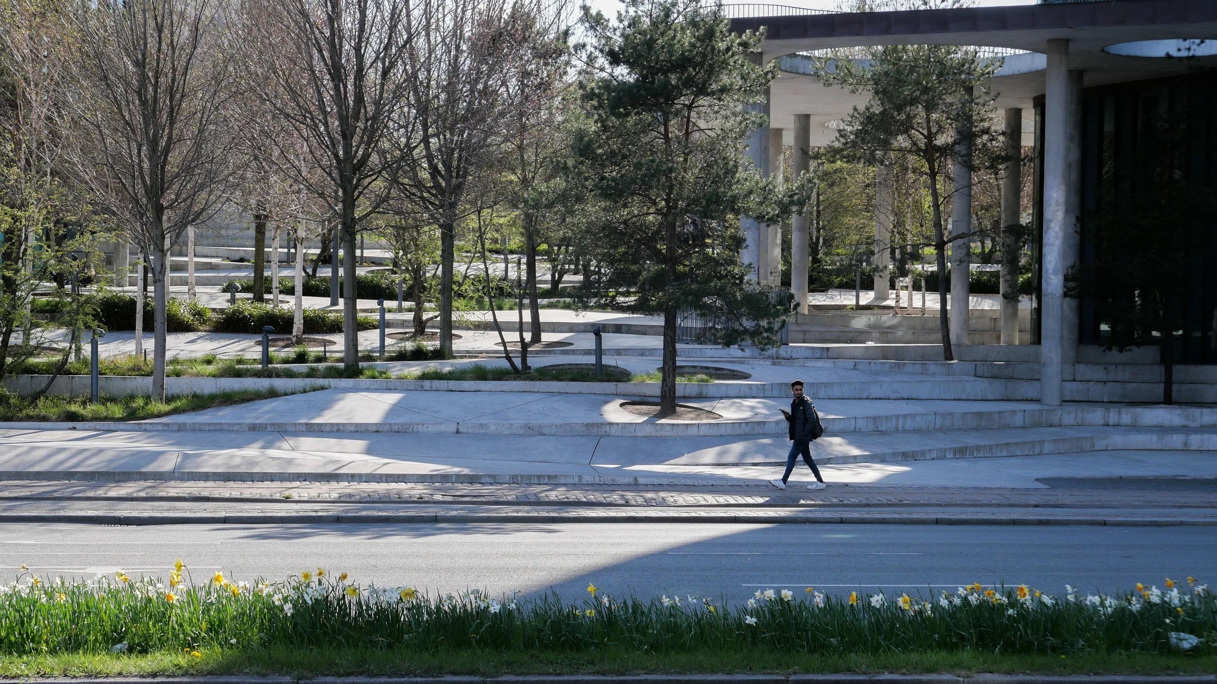
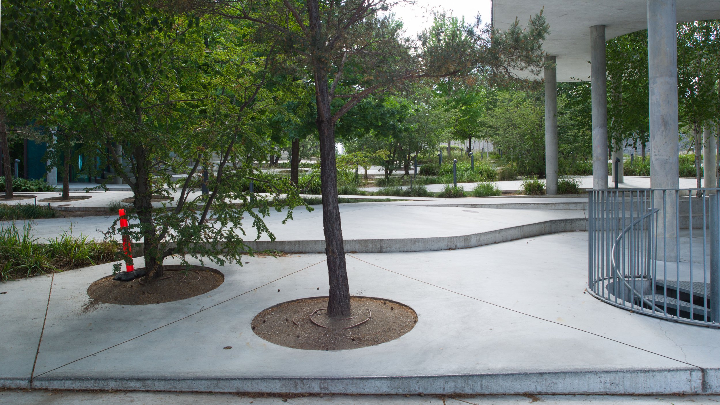
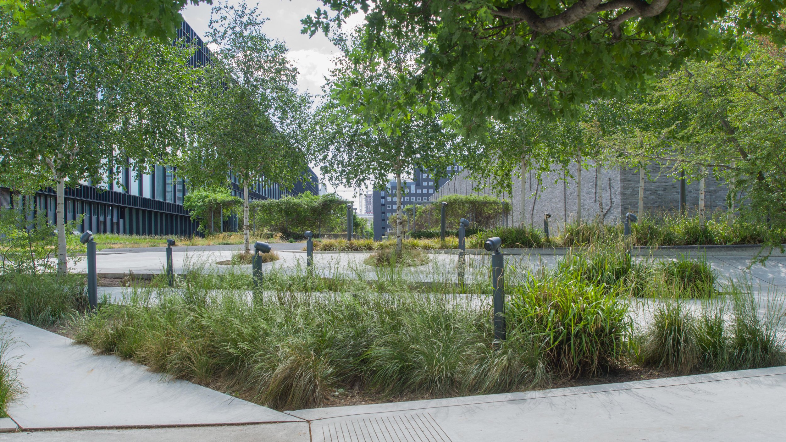
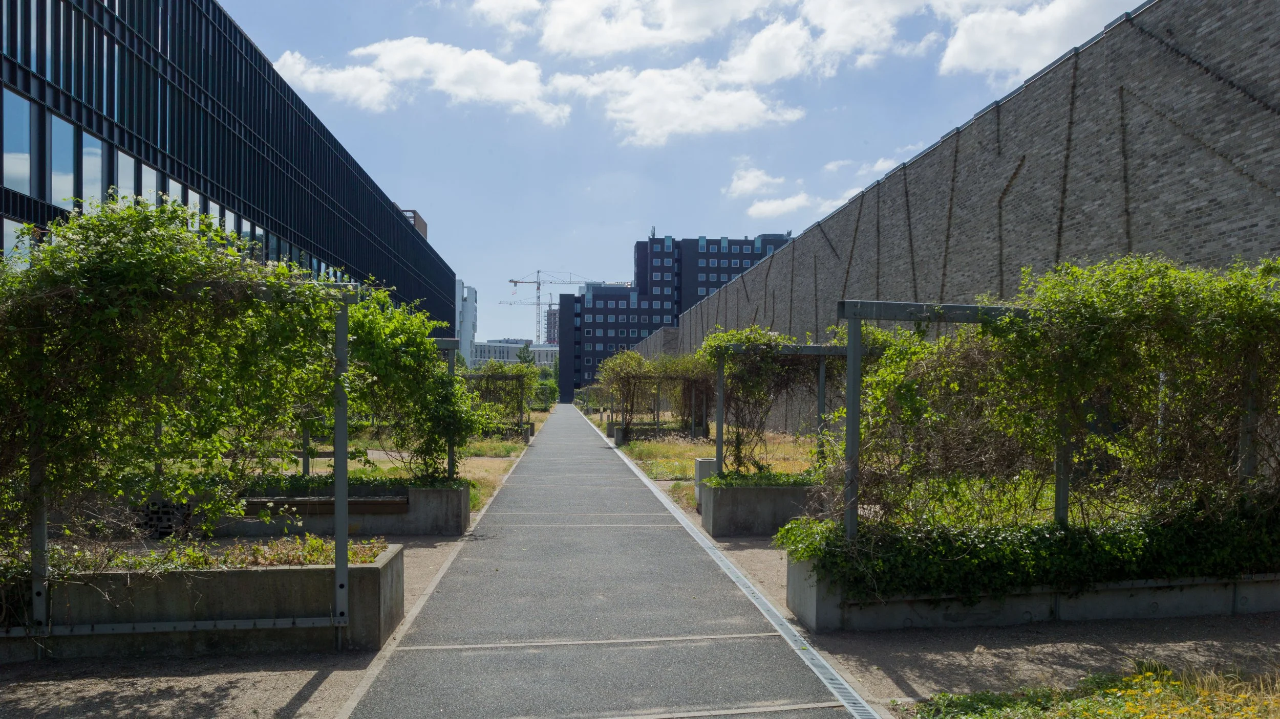
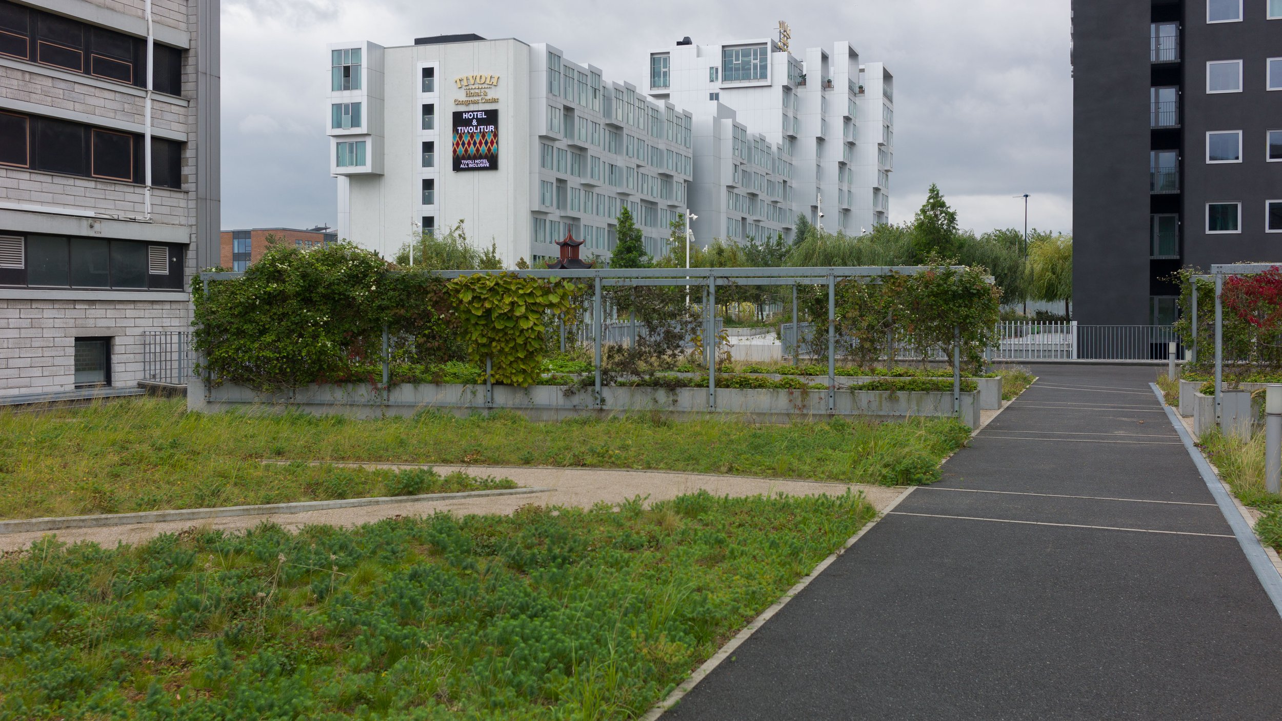
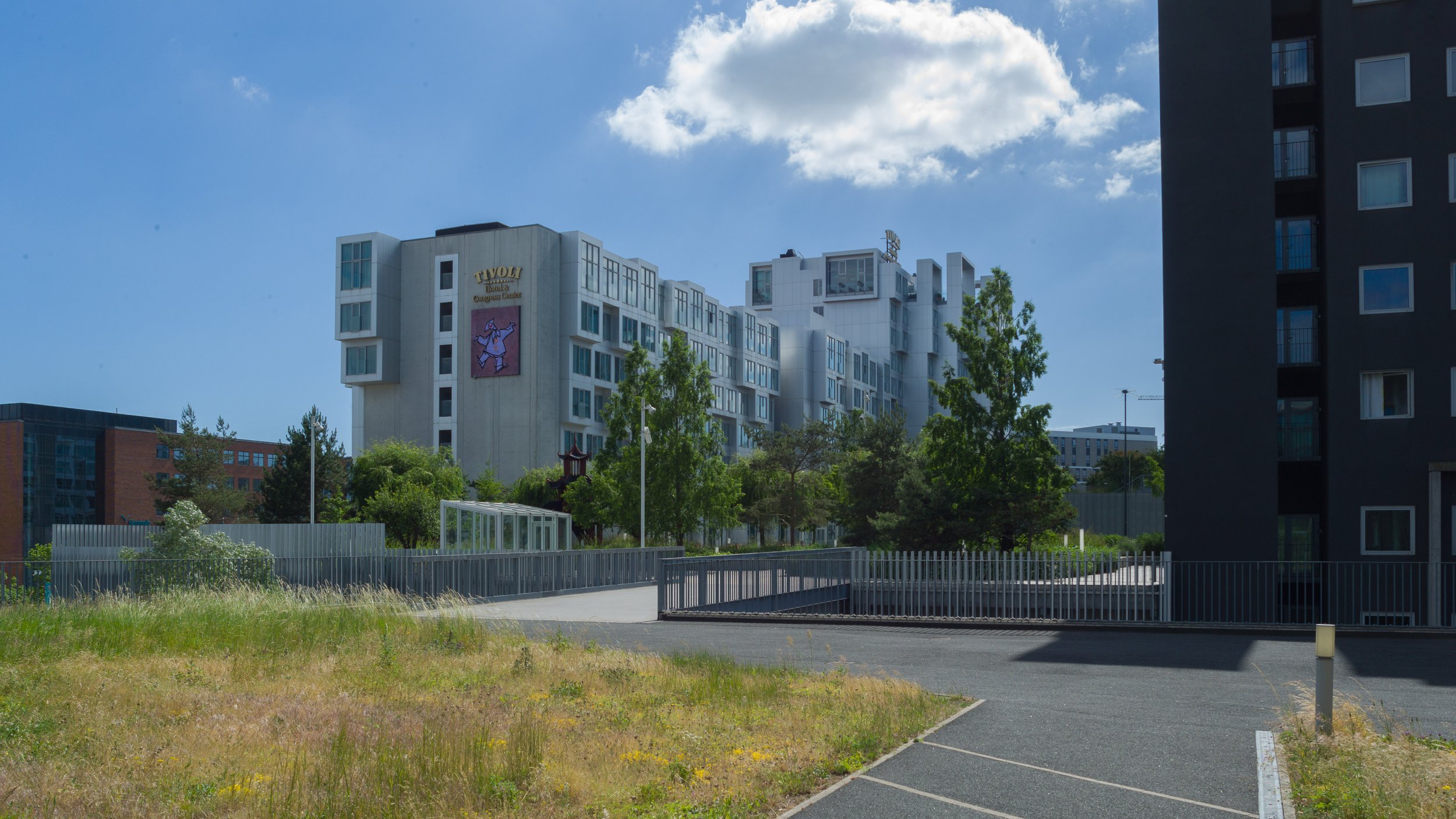
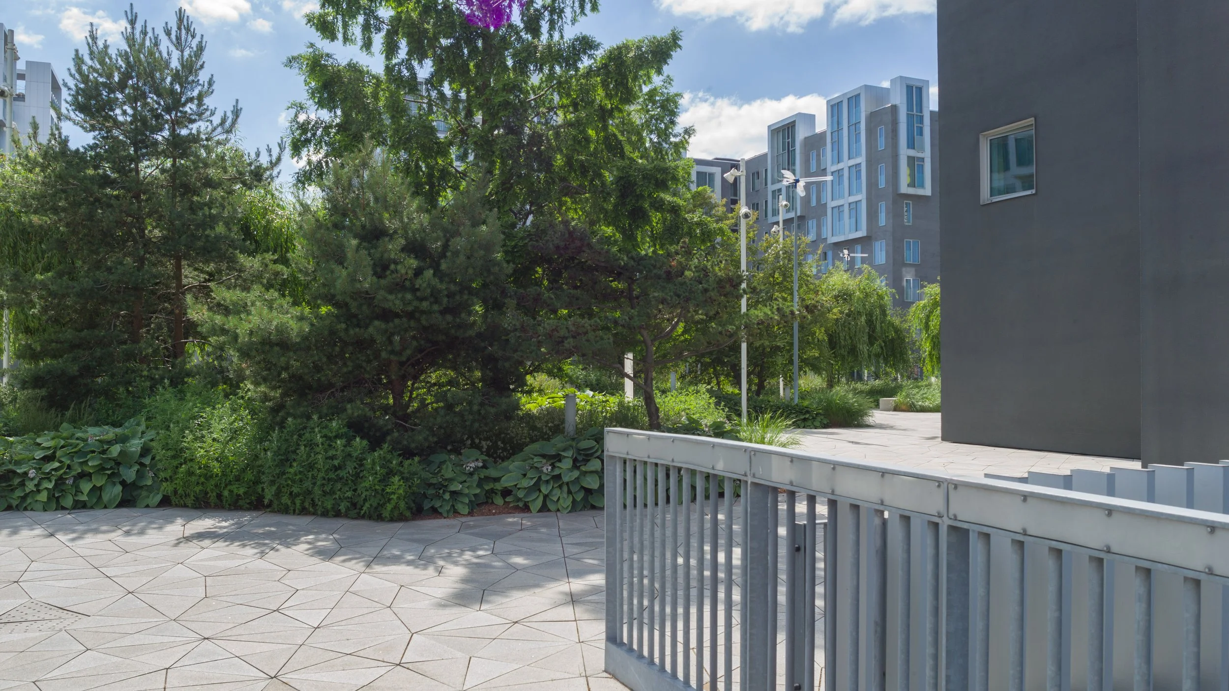
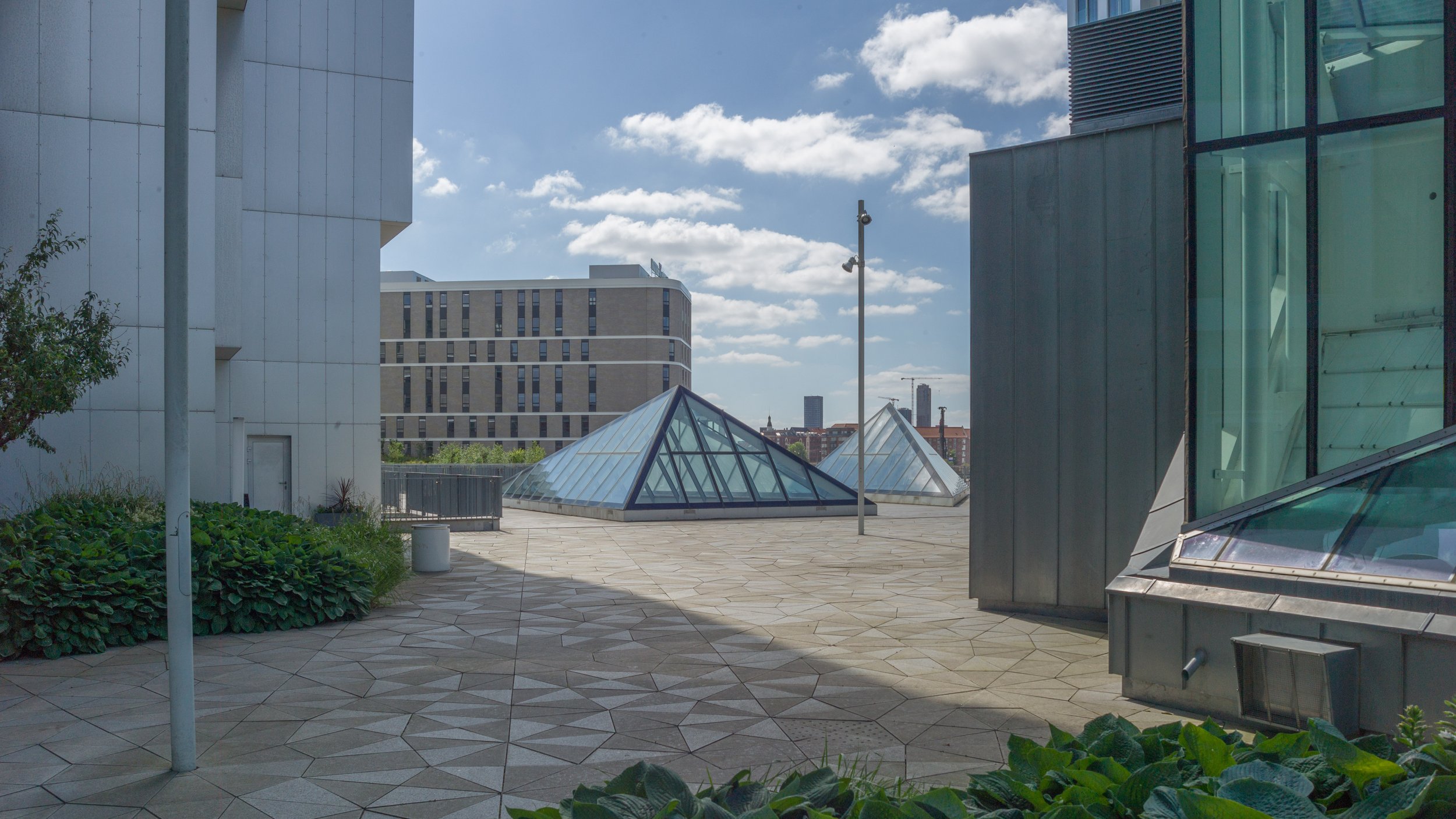
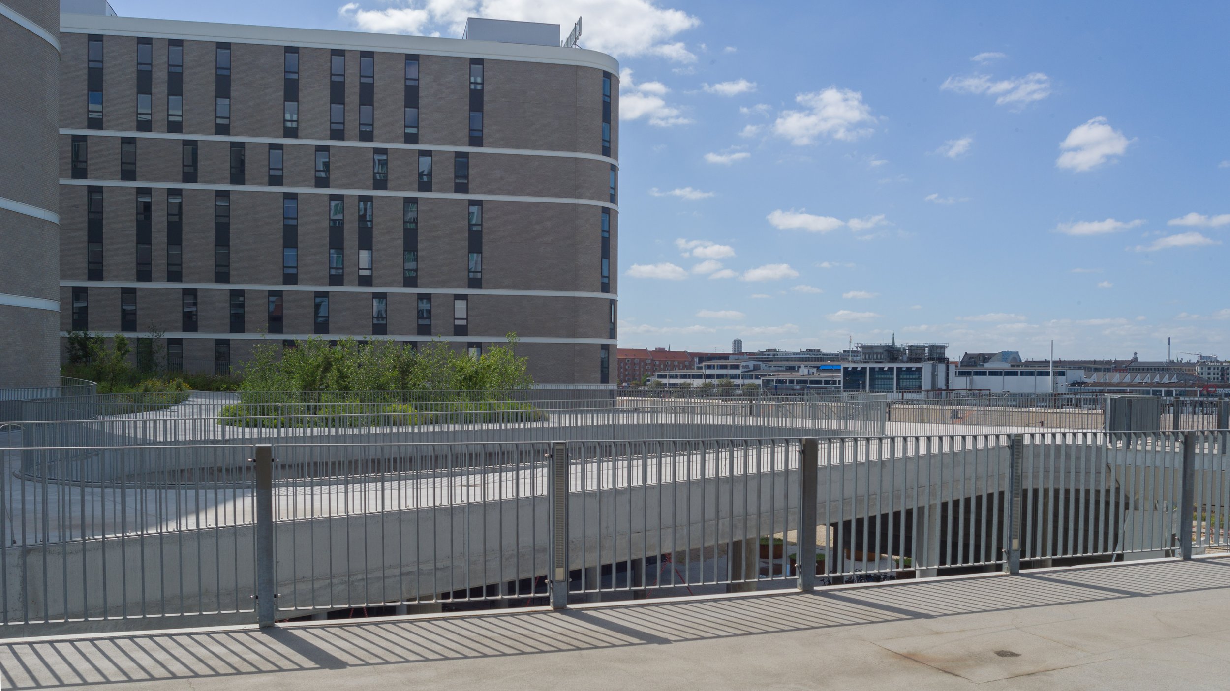
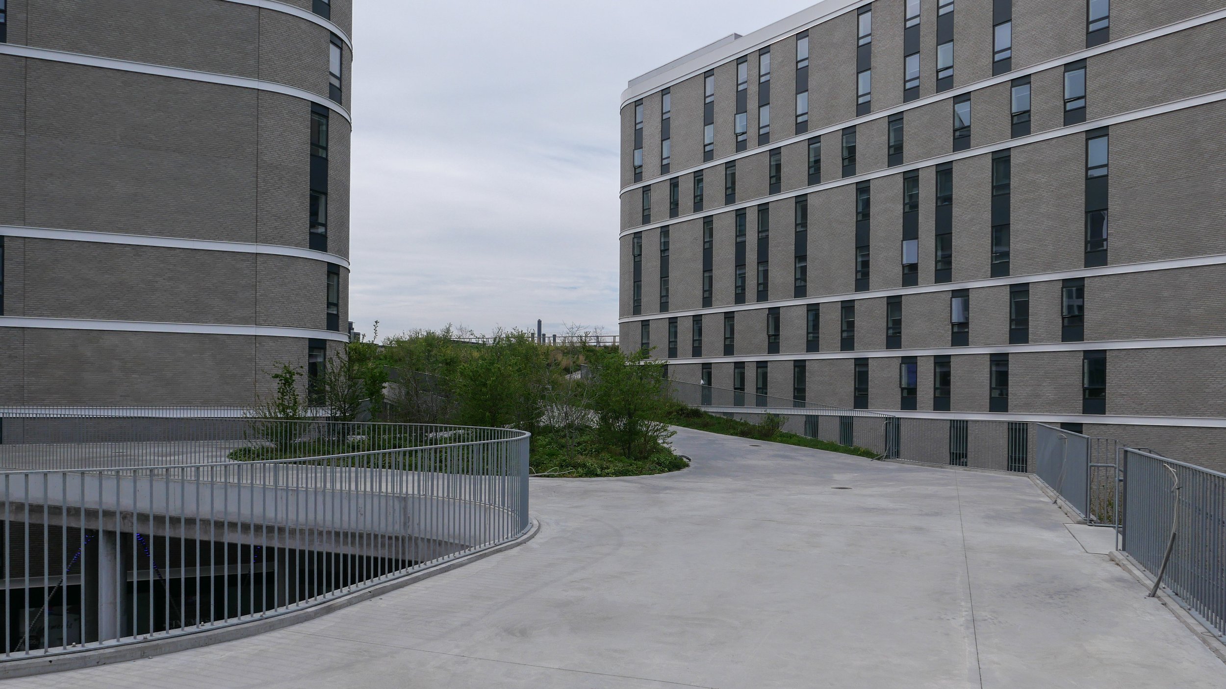
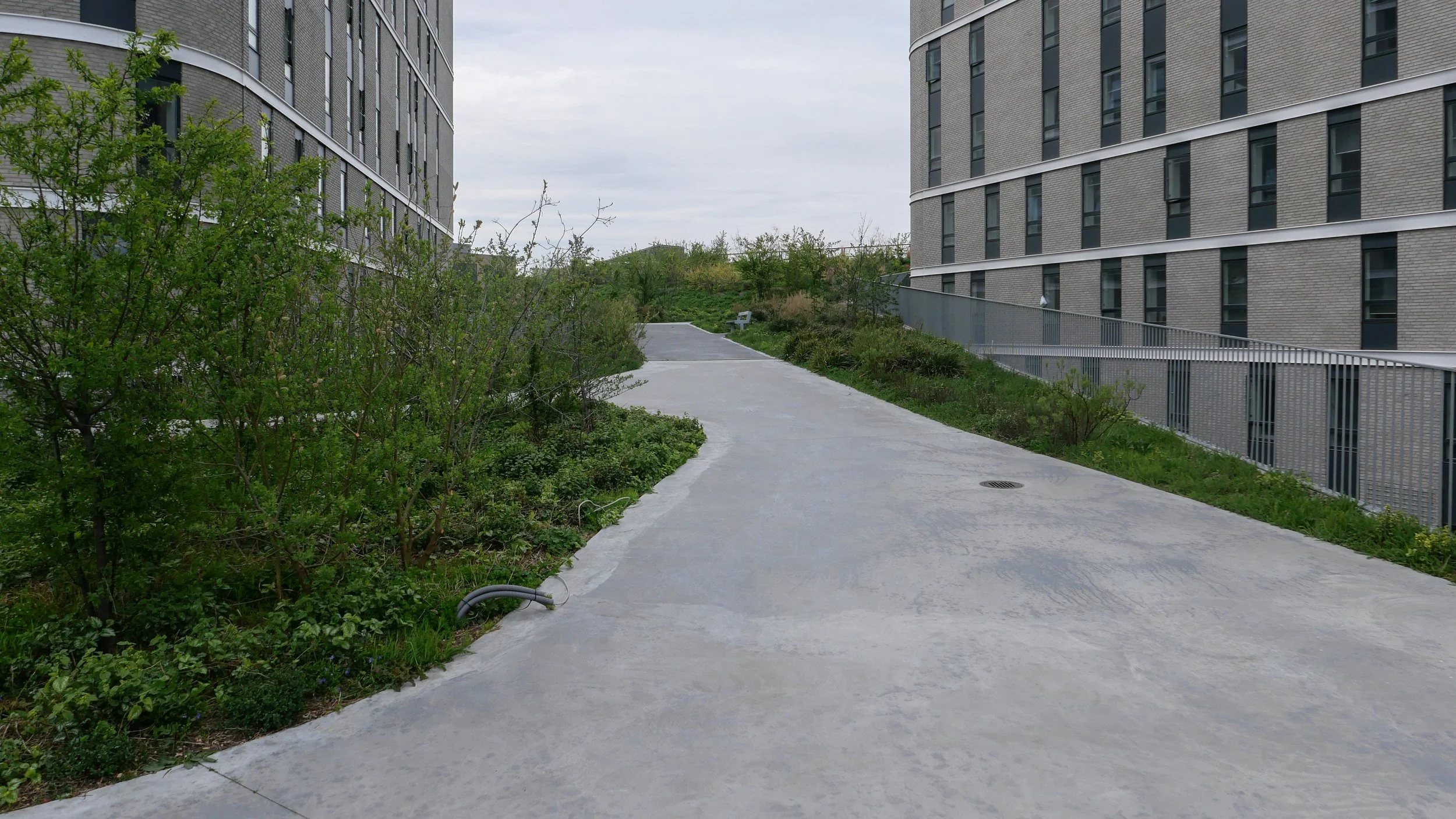
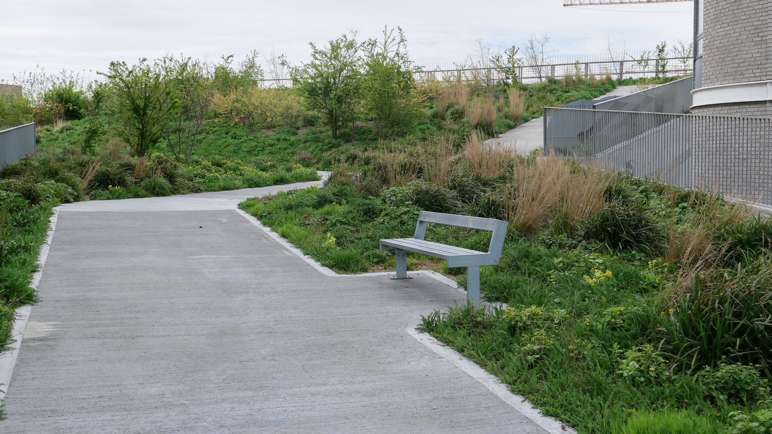
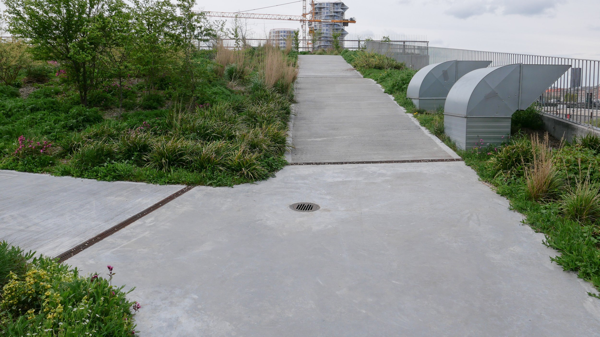
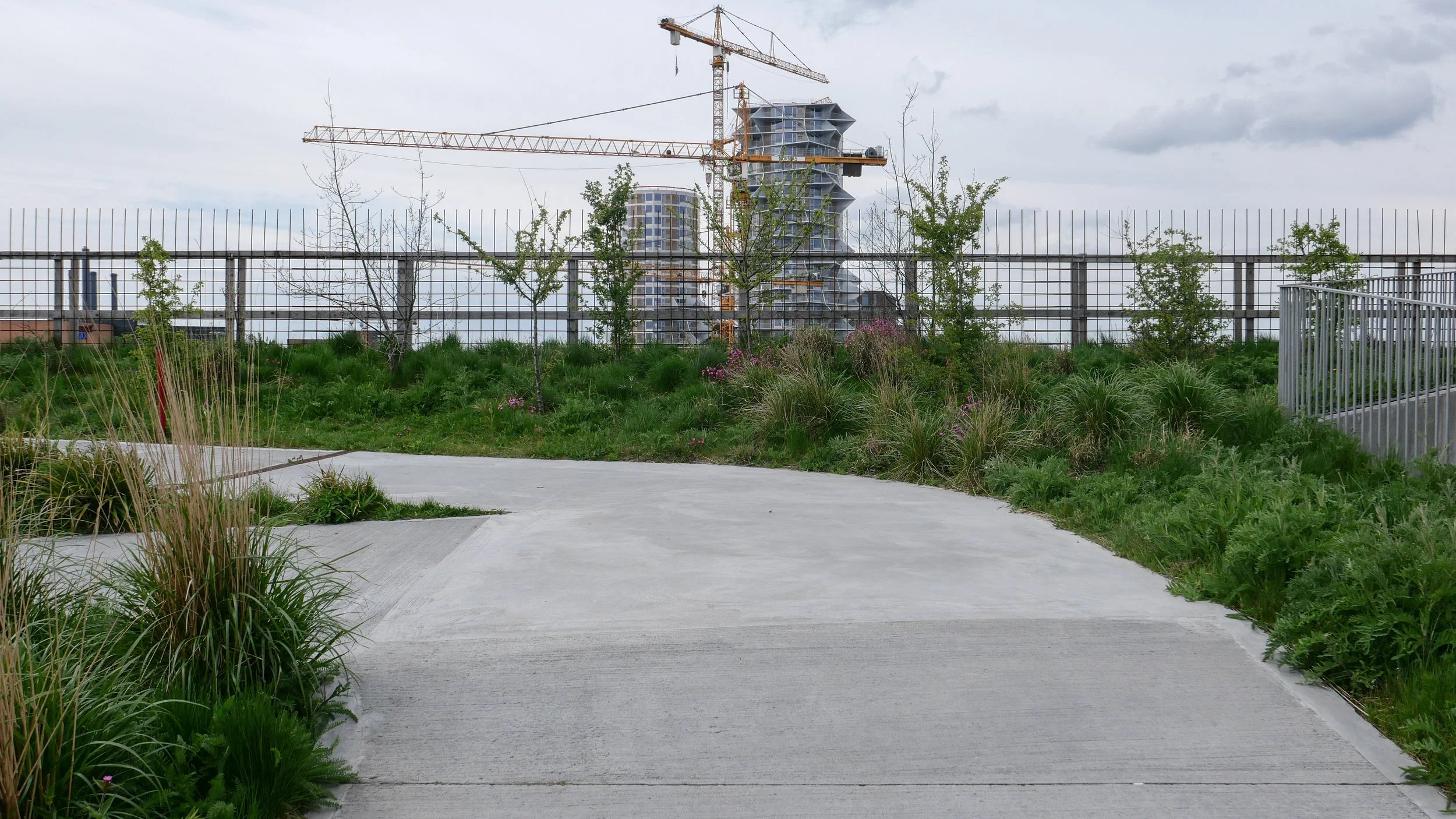
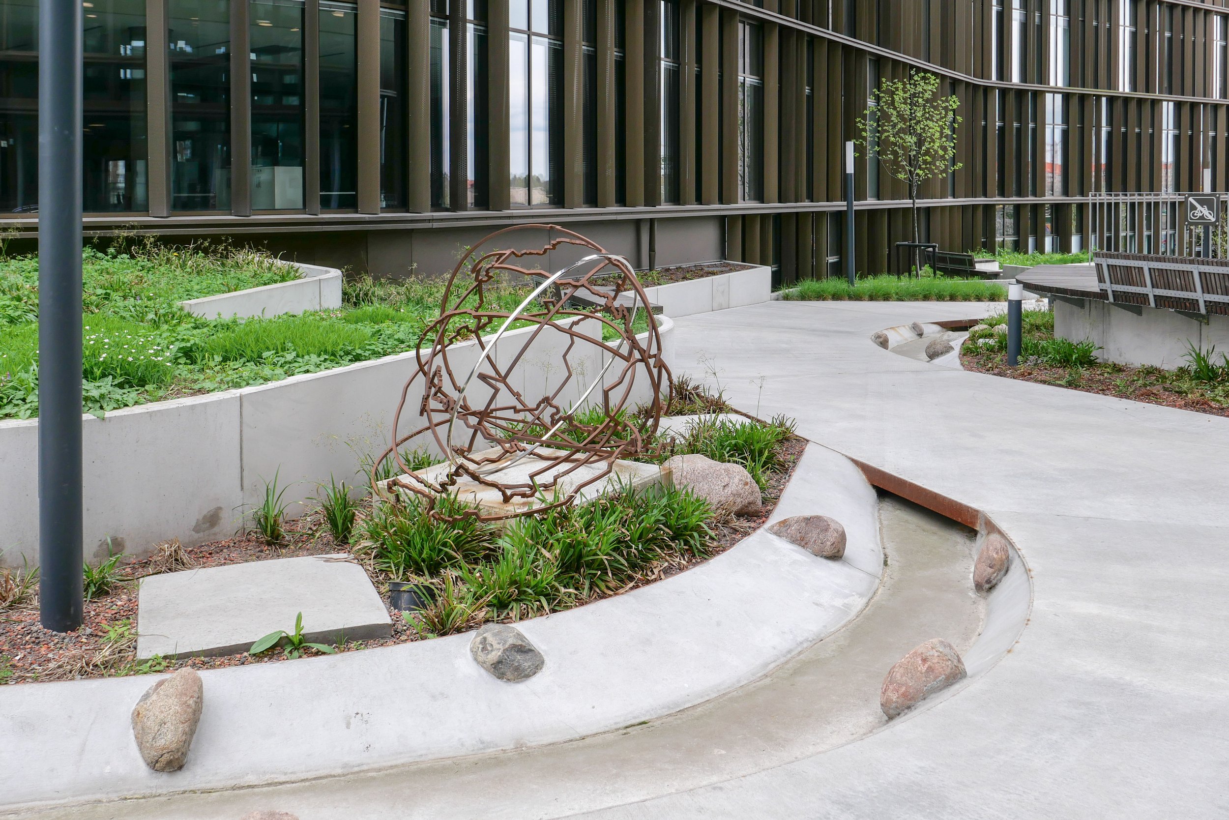
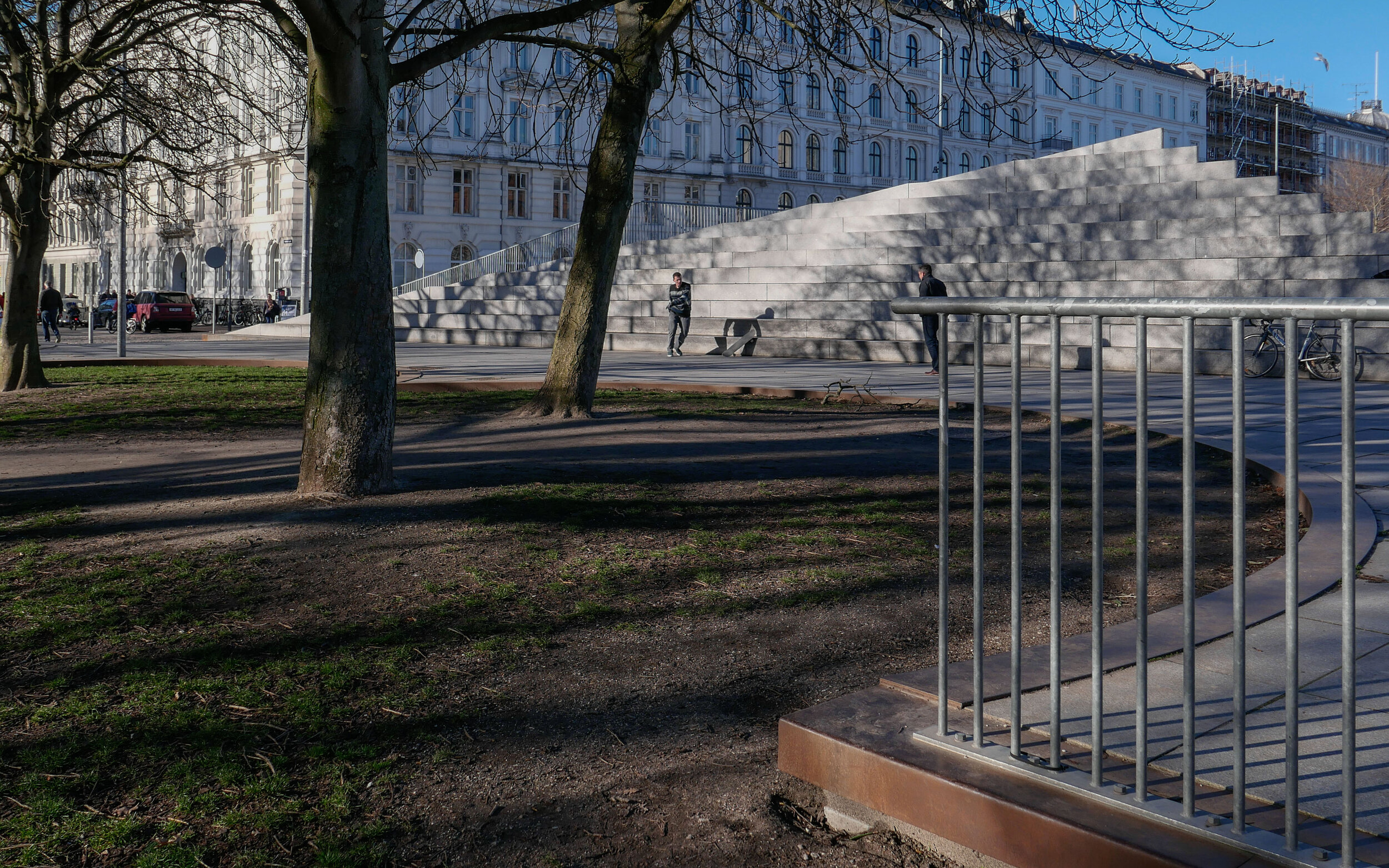
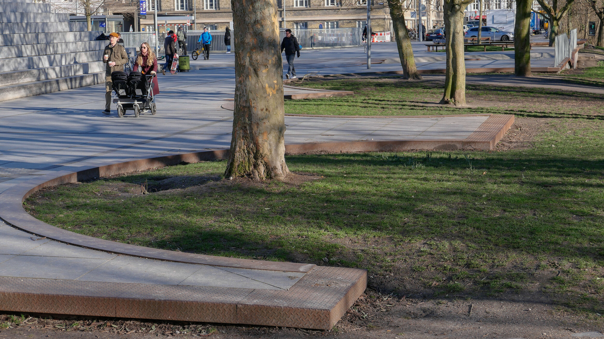
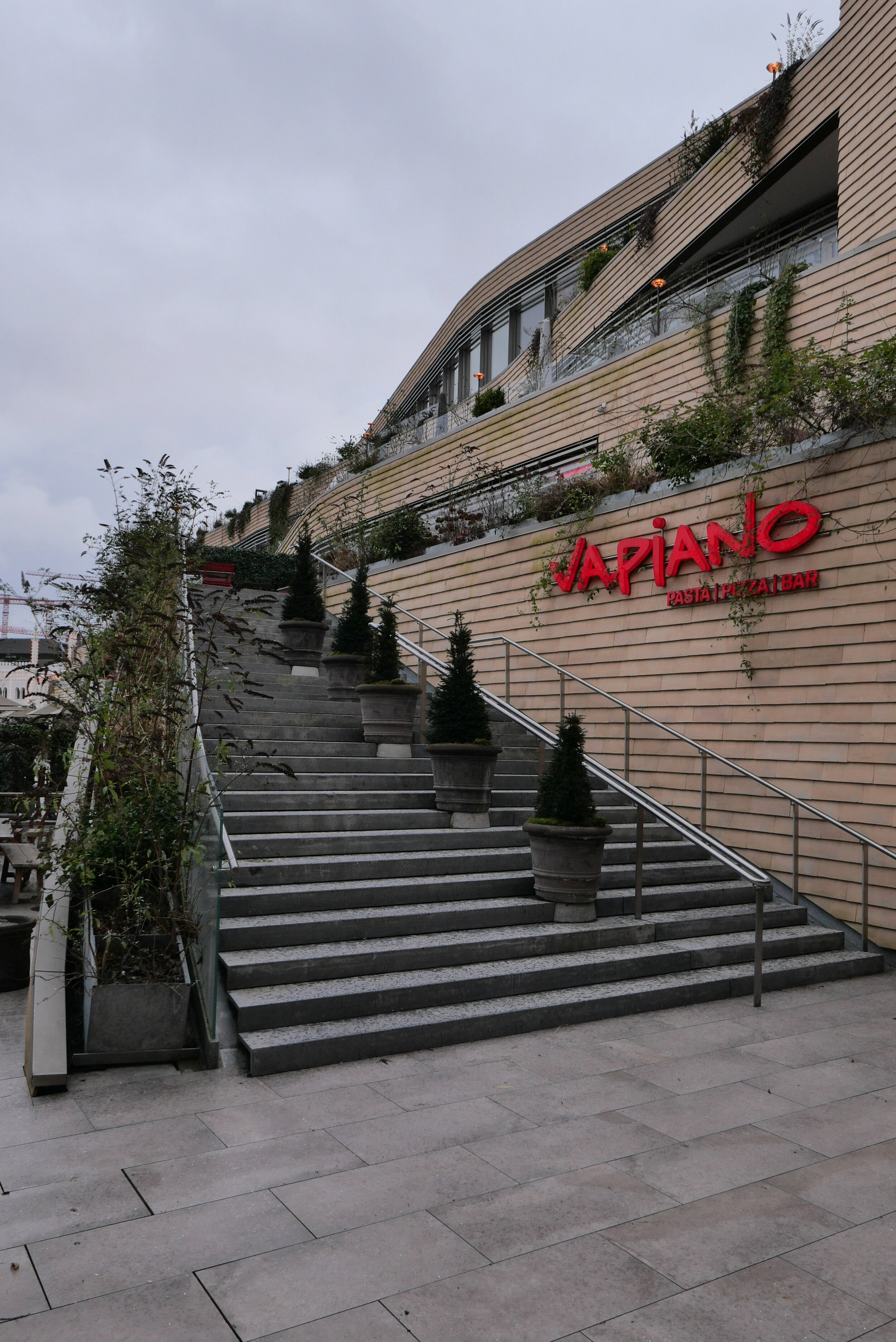
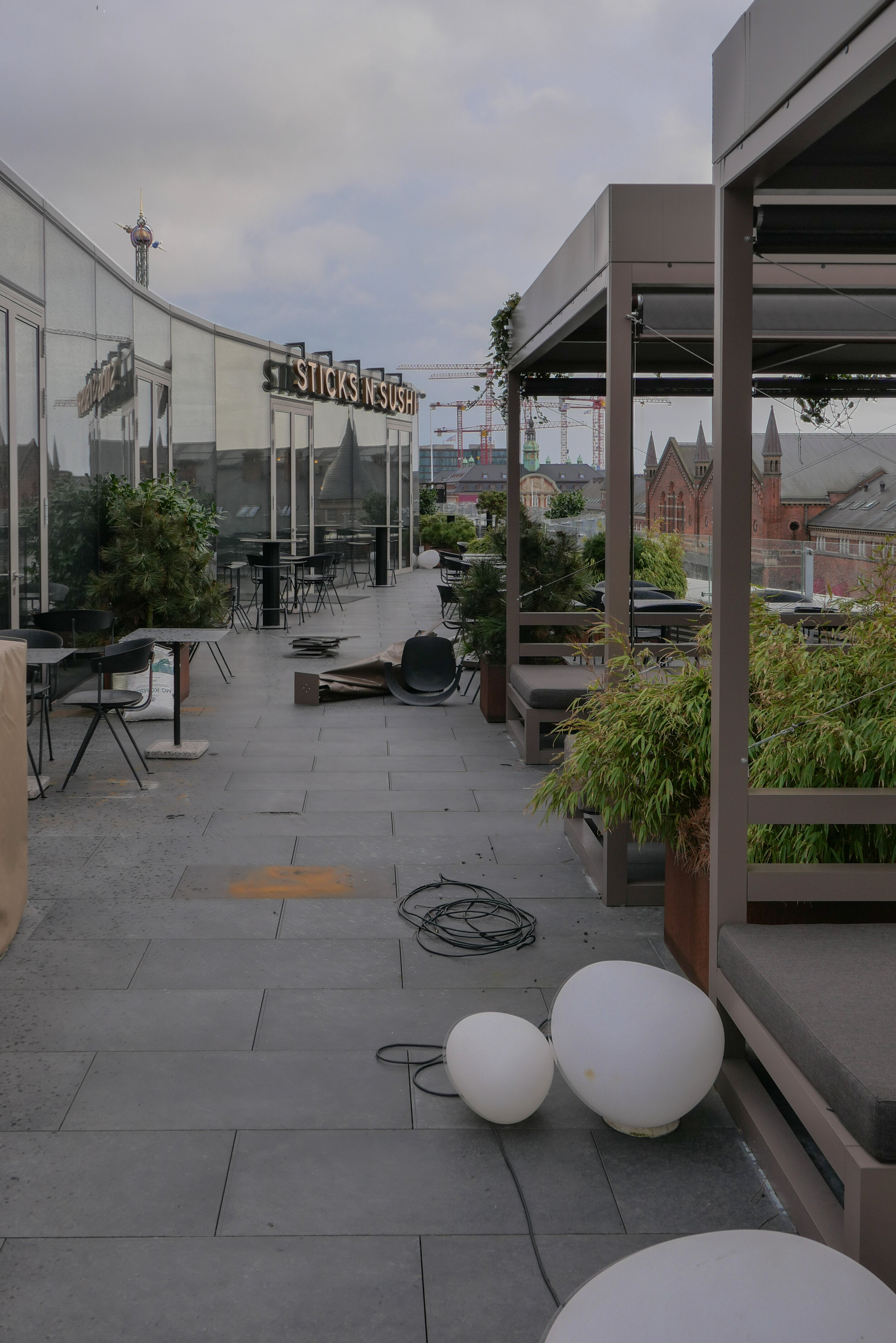
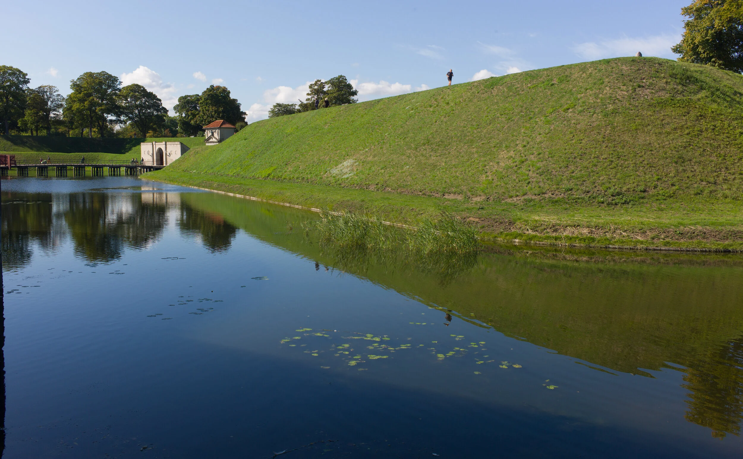
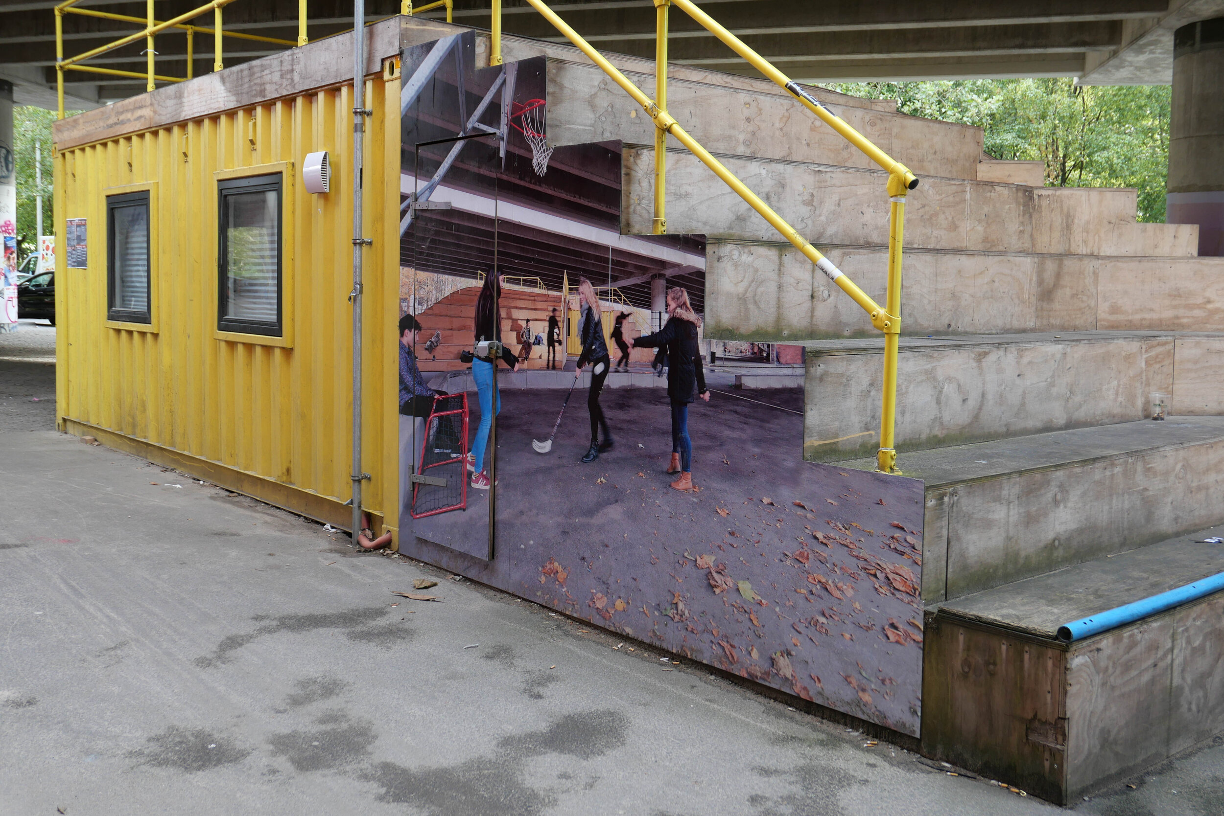
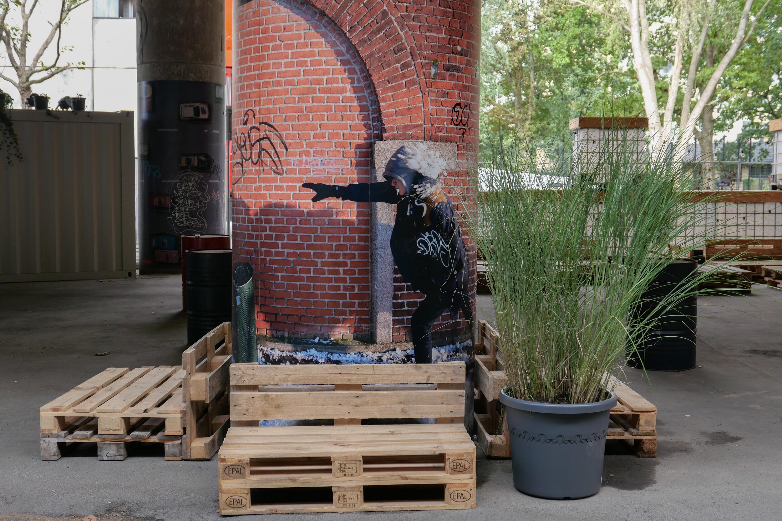
The landscape of Det Grønne Strøg - the green line - runs through the centre of the building and reads as a steeply sloping green canyon that is quite enclosed with bridges across at upper levels

Workers and visitors coming from either Dybbølsbro and the suburban train station or by bike over the cycle bridge, coming from Islands Brygge, arrive at the top of the green street on the north side and there is a main entrance there but with views down the green landscape that drops down a series of zig-zag concrete paths with a concrete rill that will take rain water down alongside the path.

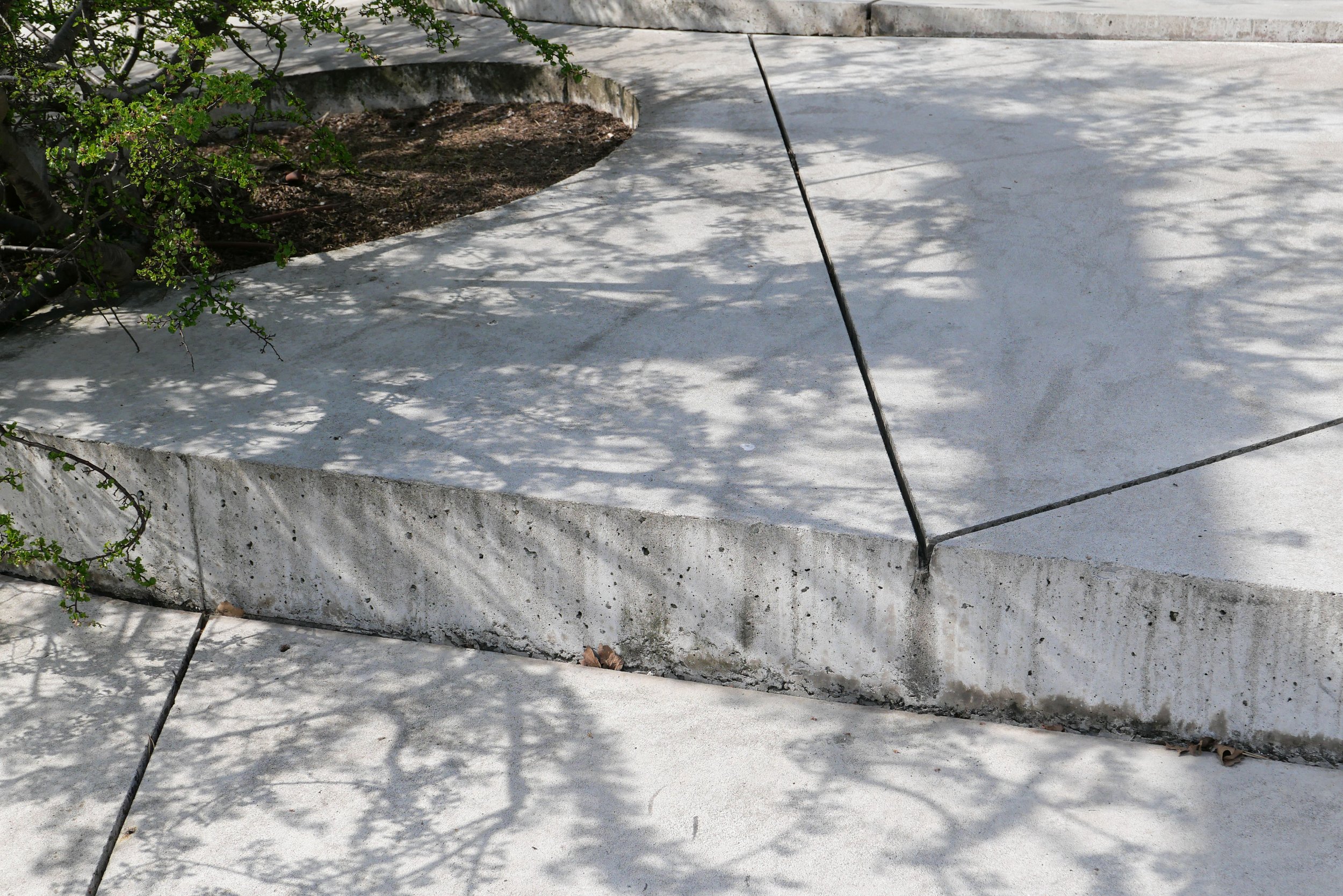
Through the length of the green line, a key part of the design is that all rain water is captured and reused for the plants and trees.

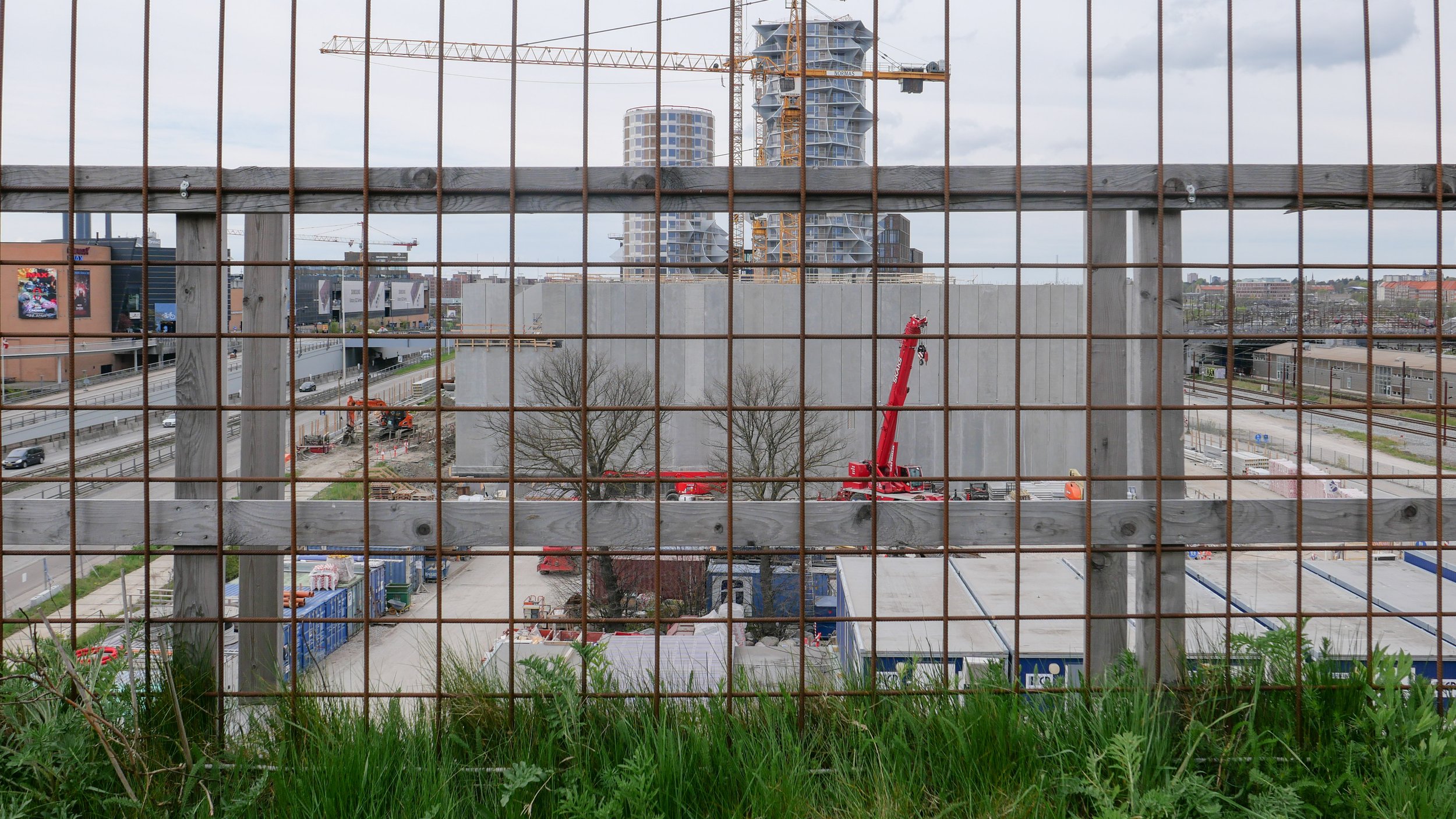
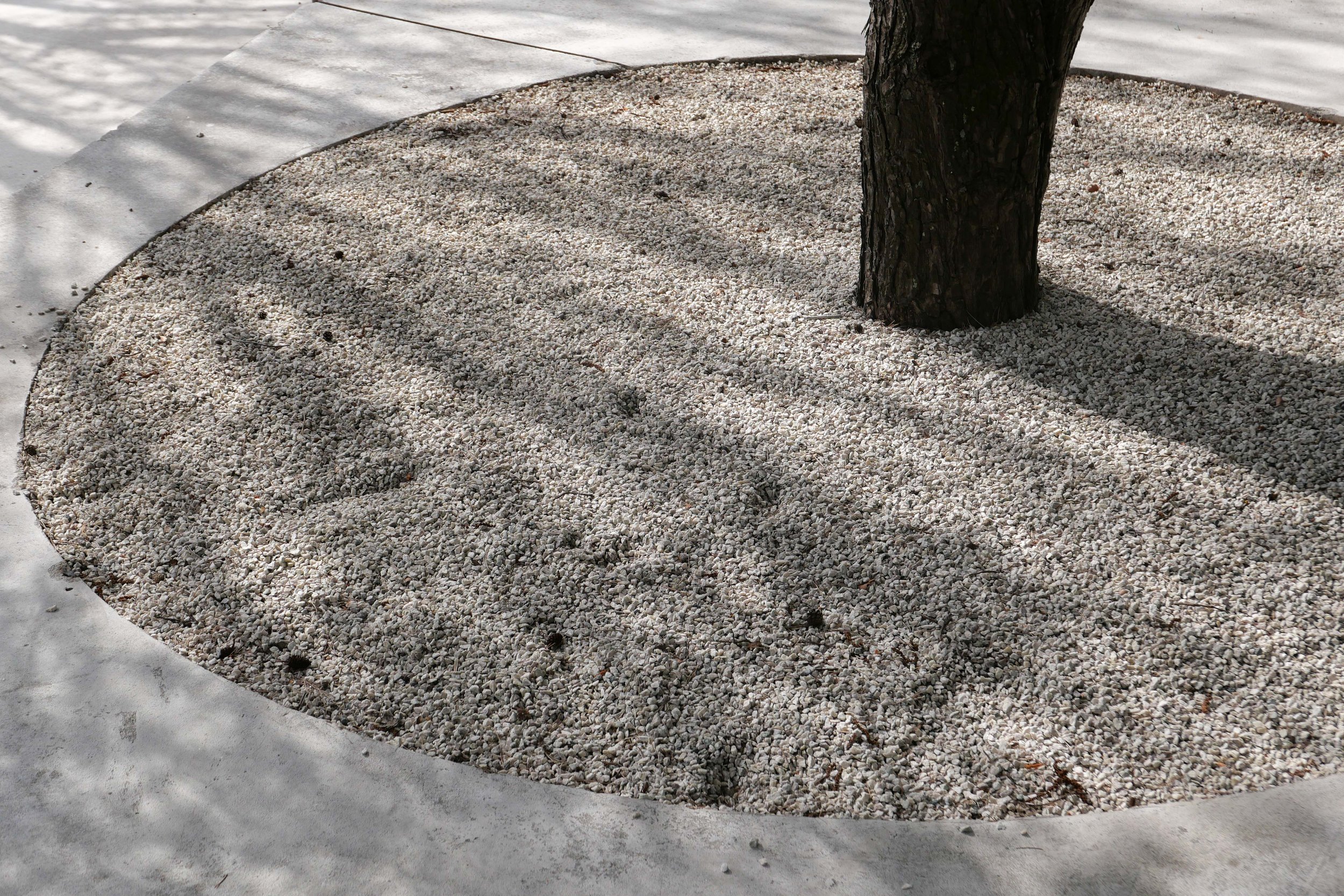
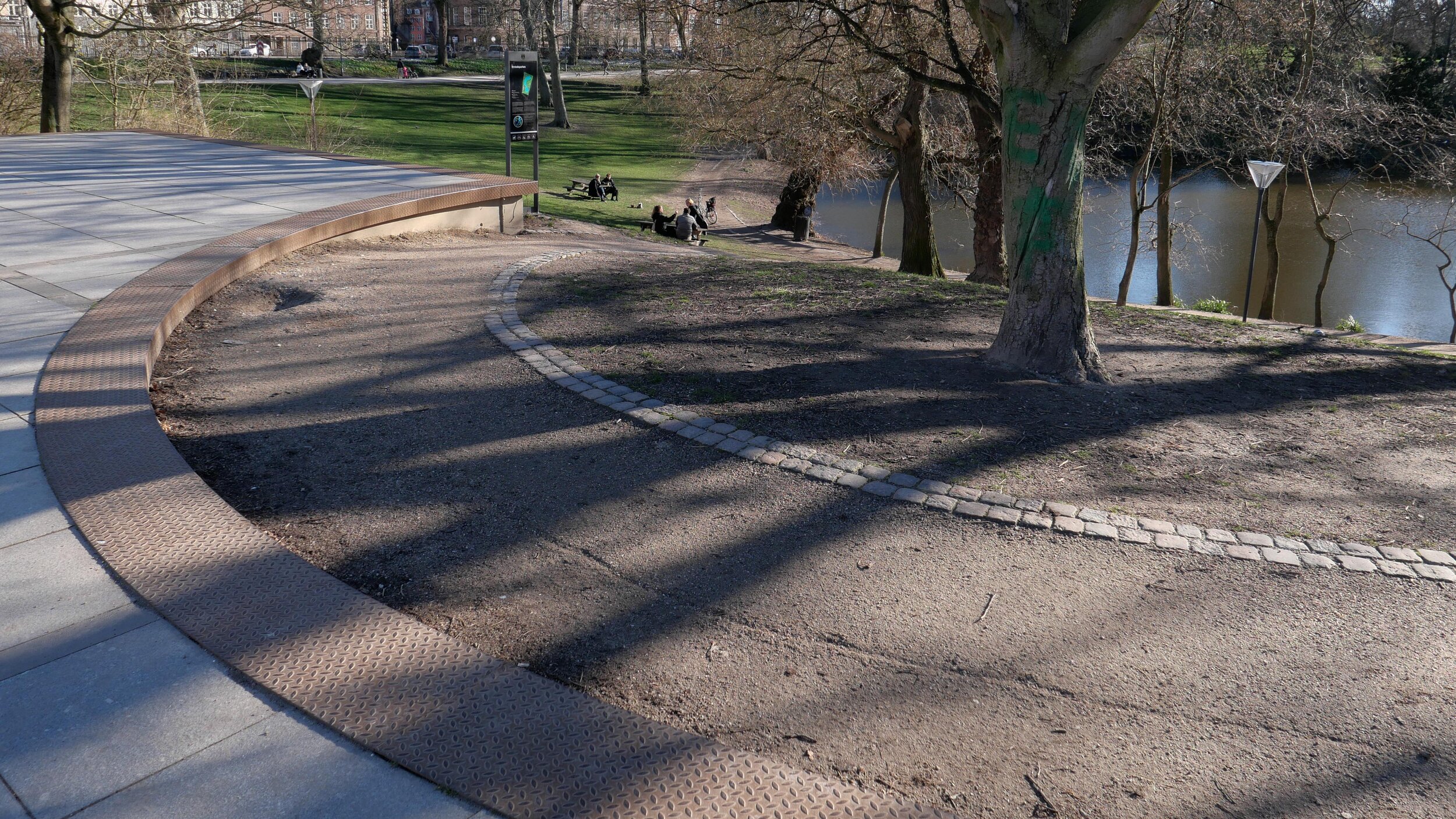
New planting is attractive but, until it becomes more established, it is difficult to judge but there is a good view down from the top to the new railway control tower beyond.

Arkitema - Nexus


from the air, the grouping of four blocks forms a clover-leaf arrangement with few right angles
the railway is to the North and Kalvebod Brygge and its slip roads to the south
the Cactus Towers are to the north-east and, when completed, Det Grønne Strøg or the Green Line will cross from the roof of the IKEA store - now under construction - and drop down a steep slope before continuing on through the Nexus building to the landscape around the new railway control tower

the SEB towers at the corner of Bernstorffsgade and Kalvebod Brygge were finished in 2011 and this was the first part of the green line completed … it’s where the landscape rises up a steep slope from pavement level to continue across the roof of the archive building
it is obvious that over a decade later, economic imperatives now determine the amount of land that is built on and the area of public space at Nexus is as tight as possible
in the initial Lokalplan of 2006, the Nexus site was set aside to be a park free of buildings but now open land in the city is seen as too valuable to be left fallow


the original scheme for the south or outer end of Det Grønne Strøg - the Green Line - was set out in a Lokalplan
then, what is now the Nexus site, immediately before the circular railway control tower, was to be left open as a park without any buildings
note that all the buildings were to have a dynamic and twisting outline with all upper floors setting back and the angle changing to reduce the oppressive outline of a tall block with sheer sides and to reduce shadow and reduce the impression of height from below
the two blocks set on either side of the green line on the left or south side of Dybbølsbro - labelled F and G - is the site of the two Cactus Towers by BIG that are now close to completion


a curious design to get across a serious message?

Benches like this have appeared in about half a dozen places around the city.

My first thought was that it seemed like a rather extreme way to stop people stretching out and sleeping on park benches. Then I wondered if it was a particularly thick apprentice in the ironworks who got the measurements wrong but that seemed more than a bit unlikely as these benches have been made here since 1888 so, really, they should know what they are doing by now.

Then I saw an article in the newspaper that sort of explained everything. They are 85 cm too high and that's the height that some scientists have suggested that sea levels will rise by the end of the century if we do not tackle CO2 pollution and sort out climate change.

The pedant in me thought that it's a bit of an obscure way to represent impending disaster and that it only really works if the benches were at the end of Ofelia Plads where the concrete runs down into the sea of the harbour but then anything helps if it makes people stop and think .... even if it is only to think how the hell would I get up there or, come to that, get down without breaking an ankle.

design classic: the Copenhagen bench
the Copenhagen bench
high water in the harbour
Ofelia Plads


Bygningspræmiering / Copenhagen Building Awards 2021

Bygningspræmiering -The Copenhagen Building Award - was established in 1903 and, each year, is granted to buildings that have made an outstanding contributed to the 'physical framework' of the city and reflect the importance of good architecture in the life of the city.

It is important that these buildings reflect the special character of of the city and contribute to the quality of its built environment.

For the building awards there are four categories:

A: nybyggeri / new building
B: omdannelse / restoration
C: renovation of apartments in a building that had another purpose
D: bymiljø / urban environment

For 2021, the Committee assessing the award: 

Culture and Leisure Committee
Nicolai Bo Andersen and Rosa Siri Lund, experts appointed by the Academic Architects' Association
Lisa Sørensen, expert appointed by IDA / Ingeniørforeningen Danmark
Camilla van Deurs, City Architect, Technical and Environmental Administration
Mette Haugaard Jeppesen, architect, Technical and Environmental Administration

Here are the buildings and engineering projects that have been short listed for the award in 2021 and they show just how diverse the built environment of the city is and all would be more than worthy winners.

Until 20 April, the public can vote for a public winner through the web site of the City Kommune and the overall winners of Building Awards will be announced on 27 April 2021 

The Award-Winning City, Hans Helge Madsen and Otto Käszner
The Danish Architectural Press 2003

Bygningspræmiering
the public vote


Amager Bakke, Vindmøllevej 6, 2300 København S
architect: BIG - Bjarke Ingels Group
engineers: MOE

category: nybyggeri / new building


L1240577.jpg

Charlottetårnet / The Charlotte Tower, Hjørringgade 35, 2100 København Ø
architect: Lundgaard & Tranberg Arkitekter A/S
engineers: COWI A/S

category: nybyggeri / new building


L1187319.JPG

L1066590.JPG

Cityringen / Metro Inner Ring
architects: Arup
engineers: COWI Systra

category: nybyggeri / new building and bymiljø / urban environment


L1066430.JPG
L1066570.JPG

L1176292.JPG

Enghaveparken - Klimapark / Climate Park, Enghaveparken, 1761 København V
architects: TREDJE NATUR and Platant
engineer: COWI

category: bymiljø / urban environment


L1176478.JPG

Frihedsmuseet / The Freedom Museum, Churchillparken 6, 2100 København Ø
architects: Lundgaard & Tranberg Arkitekter
engineers: EKJ Rådgivende Ingeniører A/S, DEM Dansk and Energi Management A/S

category: nybyggeri / new building


Københavns Museum / Copenhagen Museum, Stormgade 18, 1555 København V 
architects:  Rørbæk og Møller Arkitekter A/S, LETH & GORI. Udstillingsarkitekt / exhibition architects: JAC studios
engineer: Hundsbæk & Henriksen A/S

category: omdannelse / restoration


Klostergårdens plejehjem og Seniorbofællesskabet Sankt Joseph /
The Cloister nursing home and the Seniour Community of Sankt Joseph,
Strandvejen 91, 2100 København Ø
architects: RUBOW arkitekter A/S
engineer: Sweco Danmark A/S

category: omdannelse / restoration


L1187307.JPG

Lille Langebro / Little Langebro, Vestervoldgade Langebrogade, København K
architects: Wilkinson Eyre Architects
engineer: Buro Happold Engineering

category: nybyggeri / new building


L1033948.JPG

L1044541.JPG
L1044548.JPG

Nørrebro Bibliotek / Nørrebro Library, Nørrebrogade 208, 2200 København N
architects: Keingart Space_Activators
engineer: Alfa Ingeniører A/S (For Ason Entreprenører)

category: omdannelse / restoration


Mozart House.JPG

image created using Google Earth

Træhus i Sydhavnen / Wooden House in Sydhavnen, HF Havebyen Mozart 74, 2450 København SV
architects: Peter Kjær
engineer: Ole Vanggaard, Tommi Haferbier

category:  nybyggeri / new building


Israels Plads

There has been no similar criticism of Israels Plads that, like the remodelling of the pedestrian area of Nørreport, was also designed by COBE. This is still one of the most used and most popular urban spaces in the city …. an obvious planning and design success.

Here, unlike with the paving across the square at Norreport, the hard landscaping seems to to have survived well and in part that may be because a relatively high kerb around the square, with an edge in Corten steel, discourages vehicles from driving onto the central space.

The area at the north end of the square - close to the food halls - is still incredibly popular - people buy food and drink in Torvehallerne and come across here to sit on the steps to watch what is happening on the square. The large fenced area for ball games is very well used.

The trees are growing well and, as they mature, they make an ever stronger link through to the established and dense tree planting of Ørestedsparken to the south. These trees on the square provide shade for people sitting on benches around each tree but the trunks are high enough that the branches and leaves above do not interrupt lines of sight.

This is a huge space - well over 100 metres from side to side - from building to building - and 140 metres from the park to Vendersgade - the road that separates the square from the equally large area around the two food halls.

With such a large area there is certainly space for several different events or areas of activity going on at the same time without people falling over each other or being distracted by any noise. Perhaps in this post-Coronavirus age Israels Plads should and could be used as a venue for many more events but that is up to the city council.

About the only thing I would complain about is that the fountains and water channel at the park end are rarely running but I guess parents who have had to fish out their wet toddlers would not necessarily agree.

select any image to open in slide show


a new Natural History Museum and the Botanic Gardens


The Botanical gardens in Copenhagen have reopened from the lockdown and they look superb.

The gardens here were laid out in the late 19th century as part of the expansion of the city after the city gates; the ramparts, and the outer defences dating from the 17th century were removed.

This work had been discussed for some years but became a priority with an outbreak of cholera in 1853 when there was a substantial loss of life. It is not surprising that the first major new buildings that were constructed as the defences came down were a new hospital completed in 1863 and a new water works on the site of a bastion on the outer edge of the old defences and just inside the lakes at their south end. Both groups of buildings survive.

Initial plans drawn up in the 1850s showed the ramparts and outer ditches removed or levelled completely and new streets and squares as a continuous band of large new residential areas around the north and west sides of the old city that continued out as far as the lakes.

But the next priorities for the city are less obvious and more interesting. A new Observatory, the Østervold Observatory, was completed in 1861 to replace the royal observatory on the top of the Round Tower in the centre of the old city and it was built north of the King's Gardens on one of the highest points of the defences.

By then, the decision must have been made to retain sections of the outer water-filled defences below the ramparts and these stretches of water then became the centre of a series of parks that were laid out in an arc around the old city.

The park below the observatory became a new Botanical Garden that replaced gardens just south of Nyhavn and behind the palace of Charlottenborg.

A Palm House designed by Peter Christian Bønnecke for the gardens was completed in 1874 with a new Botanisk Museum by H N Fussing near the south corner of the gardens completed in 1877 and the Botanical Laboratory was completed in 1890.

On the north side of the gardens, a Technical and Engineering College was opened in 1889 and at the north-east corner and close to the National Gallery, Statens Museum for Kunst, a Museum of Mineralogy was completed in 1893.


The reopening of the Botanical Gardens at the end of May was an opportunity to see the major excavation works for a new Natural History Museum that is being built within the buildings and courtyards of the Technical College. Den Polytekniske Læreanstadt is a large and fairly severe brick building around a courtyard that was designed by Johan Daniel Herholdt with an entrance front to Solvgade and a long frontage to Øster Farimagsgade.

The new Natural History Museum has been designed by the Danish architects Lundgaard & Tranberg with a striking whale hall that will be in the courtyard of the 19th-century building and there will be new galleries and museum facilities extending back towards the Palm House but below ground with a new landscape above.

Early articles, about this new museum, have promoted this development as part of a new centre for earth sciences and it will provide an amazing, world-class centre for research and teaching.

Natural History Museum of Denmark, Botanical Gardens
the new Natural History Museum
Lundgaard & Tranberg Arkitekter

 
Botanic Garden.jpg

①   Østervold Observatory, Christian Hansen, 1861
②  Palm House, Peter Christian Bønnecke, 1872-1874
③  Botanisk Museum, HN Fussing, 1877
④  Den Polytekniske Læreanstadt / Technical and Engineering College,
Johan Daniel Herholdt, 1889
⑤   Botanical Laboratory, Gothersgade, Johan Daniel Herholdt, 1890
⑥   Mineralogisk Museum, Hans Jørgen Holm, 1893

Ⓐ  Nørreport - train station and metro station

Ⓑ  the entrance to the 17th-century palace of Rosenborg
Ⓒ  Statens Museum for Kunst / National Gallery of Art, Vilhelm Dahlerup, 1896
Ⓓ  Den Hirschsprungske Samling / the Hirschsprung Gallery, 1911
Ⓔ  the General Hospital completed in 1863 from designs by Christian Hansen


City Park in Ørestad

In September 2019, work started on a new and important phase of landscaping, with new planting, at Ørestad Byparken - the City Park in Ørestad. Ørestad is the large area of housing and offices on Amager, that issouth of the city centre and to the west of the airport.

Opened in June 2008, from the start, city park was planned as the major open space for this new area of Copenhagen. It occupies a large city block that is over 460 metres wide between Center Boulevard to the west and Ørestads Boulevard and the elevated line of the metro to the east. From north to south, the park is 170 metres across with four large blocks of apartment buildings across the north side and four large blocks of apartments across the south side. When the first of these blocks were constructed, these were then some of the largest and tallest apartment buildings in the city - other than tower blocks - so the park is, without doubt, urban in character.

Initially, there was just a single wide path running at an angle across the space between the two boulevards but, over the last decade, areas for sports have been laid out and play equipment and sculptures have been added along with large, semi-mature trees with some moved here from Kongens Nytorv - the large public space in the centre of the city - where the trees there had to be cleared for construction work to start on a new metro station that opened in 2019.

The regular plan of Ørestad City Park and the high buildings on three sides make this the modern equivalent of the park at Enghave in the south-west part of the city that was laid out in the 1930s.

Early photographs of the park at Ørestad show that at first it was not just stark but was bleak but the work of the Ørestad Landowners' Association, now responsible for the park, have transformed the area into a major asset for the community.

This, the most recent phase of improvements, was designed by the Copenhagen landscape architecture practice SLA Arkitekter. It covers a relatively small area at the north-east corner of the park but has created what is already a densely-planted buffer zone between the park and the main road and metro line that form the east boundary. There are mounds and features like a new area for playing petanque that was not in the original plan but was requested by local residents and this work creates a number of more enclosed spaces or outdoor rooms around the east and south sides of an existing football pitch.

Planting has been kept as natural as possible, for biodiversity, and has wild meadow flowers as ground cover. The hard landscaping, with bold rounded grass-covered mounds, has curved and twisted pathways for interest and this softens the hard and angular forms of the large buildings around the park.

SLA Arkitekter


design classic: the Copenhagen bench

This is the standard bench in the city - with iron end frames and planks of wood for the seat and the back rest that are painted Copenhagen Green - a distinct dark green that is close to black. 

The clever part is that the iron ends can be fitted with new planks if the wood is damaged or it rots. An iron tension rod underneath keeps the bench rigid and set square.

Designed for the Nordisk Industri- Landrugs- og Kunstudstilling Kjøbenhavn / Nordic Industrial, Agricultural and Art Exhibition in 1888 and still manufactured.


NA TUR I BYEN på Regnbuepladsen / nature in the city on Rainbow Square


Planting of vegetables on Regnbuepladsen / Rainbow Square, the square alongside the city hall, to bring nature into the city centre. This was set up with an outdoor exhibition of photographs from Life Exhibitions.

“Studies show that urban nature is essential for our health and wellbeing. Therefore, it is important to communicate and experiment with how closely the city can be combined with a rich nature and a healthy environment.”

Natur i Byen
Life Exhibitions

Kids’ City at the Danish Architecture Center

Kids’ City is the big new exhibition at the Danish Architecture Center in Copenhagen.

This is essentially an exhibition in two parts. 

Around the walls are panels with photographs and assessments that look at recent buildings designed for children - so schools and the new hospitals for children - showing the best of Danish architecture and design and showing what has to be done to create the best possible space for children when they are learning or playing or when they are ill.

However, the main part - literally at the centre of the space - are a series of large structures for children that are a variation on the brilliant playgrounds found around Denmark in public spaces and the courtyards of apartment buildings and in schools where children are encouraged, in the best possible ways, to exercise and to learn through play.

Just watch children playing here and, yes, you begin to see that this is kids having a fantastic time but, much more than that, it is about a huge investment in our future.

This is where and how Danish children learn to take good design for granted but in that process learn that good architecture and the best possible design is a crucial part of their lives. That should establish expectations and nurture an understanding of the role of good design and trigger, we hope, the interest and then the enthusiasm and then the focus that will produce the next generation of great Danish architects and designers.

Kids’ City continues at Danish Architecture Center until 10 May 2020


Tivoli Hjørnet / The Corner

This building - a new Tivoli food hall designed by the American architects Pei Cobb Freed & Partners - has just won a major architecture award -  the 2020 AIA Award from the American Institute of Architects - and I really cannot understand why.

It is on a tightly-constricted plot at the north-west corner of the gardens but could hardly be more prominent being immediately to one side of the main entrance to Tivoli and with a long street frontage facing across to the main railway station. Anyone arriving in Copenhagen by train walks across to and along and around the corner of this building as they walk into the city centre.

I can understand why it was a major commercial project for Tivoli but the design of the building fails in so many ways.

It crowds up to and swamps the red-brick entrance gates that date from the 1890s and looms over the historic building.

The glass of the street frontage is a strange colour and the street frontage has no vertical features or, rather, few features at all …. so it has a stark minimalism that emphasises rather than disguises it's bulk.

The pavement along the long side to the street was always narrow. The waving form of the new front, over sailing the pavement and with the doors into the food hall set back, does allow for more space but this is now piled up with pavement tables and chairs of different types to ‘attract’ in punters.

On the side towards the gardens there are terraces that sound amazing as described by the architects ….

“the building's terracotta terraces weave together and step back, beneath the Copenhagen sky. Hemmed with lush planting ….”

….. but the brick tile cladding is a strange pale, off-yellow buff colour and the terraces seem pinched and squeezed in and the planting, when I looked at the building, seems to be thin and wilting because the planters are not big enough.

From both sides of the building - from the street and from the gardens - there is a messy roof line that is mostly giant vents on the garden side and odd terrace furniture for the upper restaurant on the street side.

Once inside you realise it is just a fairly standard food hall from any motorway service-station with closely-packed independent - so disparate - food stalls and a ceiling of electric ducting and ventilation systems.

Inside, you can see that the exterior design disguises the high ground-floor commercial space by acting as a pelmet to give the frontage a more human scale. Not so much form follows function but form follows kroner.

The blurb by the architects describes their design as being inspired by the historic defences of the city but I am not convinced.

Above all this building seems to barely recognise the character of the gardens - let alone the character of historic buildings in the city beyond. Tivoli is an absolutely amazing place … all about escape and fantasy and entertainment but those are qualities obviously lacking in this new building.

While I was taking photographs I did come across one of the famous white peacocks from the gardens but he looked pretty tired and pretty disorientated as he grubbed around the waste bin looking for food.

This is simply a food hall for feeding people on an industrial scale. It may well deserve an award for being a successful commercial investment but does it really deserve an award that suggests it is an outstanding example of contemporary architecture?

Pei Cobb Freed & Partners
2020 Award from the American Institute of Architects


“Cantilevering out on the city side, the building shares in the vitality of the street. It enfolds rather than delimits. By capturing the nuances of the changing light and unfolding with passage its variable form, it is designed to enrich the experience of passers-by, who are invited to drift above and along Bernstorffsgade,”

quote from architects web site


“With one foot planted in the past and one in the future, this project engages the history of Copenhagen’s extraordinary Tivoli Garden and adds to its storied legacy. The garden … was envisioned as a place for amusement, culture, and recreation, and the Hjørnet project resonates with the garden’s dualities: traditional and experimental, bucolic and urban, contemplative and entertaining.

Where it faces the city, the building is animated and welcoming. On the other side, it echoes the spirit of hygge and social harmony …”

citation from the American Institute of Architects


were the defences of the historic city really the inspiration for the design of the food hall?

“The key architectural idea for Tivoli Hjørnet was derived from the fortification walls and moat that historically enfolded the city and today remain imprinted on the garden's layout. Just as these walls formed the boundary of the city, so is the building a new edge for the garden. It is an inhabited zone that both engages and entertains.”

again, quoted from the on-line site of Pei Cobb Freed & Partners

update - Bispeengbuen

Bispeengbuen is a raised section of motorway in the north part of the city that opened in August 1972.

It has three lanes of traffic in each direction but with slip roads and with high sound baffles, added in the 1990s, it is intrusive as it cuts through and divides a densely-built residential neighbourhood. The heavy traffic using the road as a fast route into or out of the city is close to apartment buildings at the level of second-floor windows and, from the start, there were strong local protests with the opening marked by demonstrations and even a bomb threat.

The road is owned by the state but one suggestion now is that it should be transferred to the city and to the municipality of Frederiksberg - the road runs between the two - and, in 2017, politicians from both Copenhagen and Frederiksberg suggested that the road and its traffic could be taken down into a tunnel and the elevated section demolished.

This would provide an opportunity to reinstate a river that had flowed through a meadow here since the late 16th century although the river itself did not run along a natural course. In the 1580s, it was diverted to bring water to low marshy ground around the west side of the city, outside and below the defensive embankments, to form a stronger outer defence and to provide a supply of fresh water for the city.

Around 1900, at the city, end the river, Ladegårdsåen, was taken down into a covered culvert and the road to the lakes became a major route into the city from the north.

From the north end, from Borups Allé, traffic coming into the city goes under the suburban railway line - just to the east of the station at Fuglebakken - and then, immediately south of the railway line, the traffic is taken up onto the raised section that continues on for about 700 metres to Borups Plads where the road returns to ground level but the tunnel would continue on further, closer to the intersection with Jagtvej to make this north part of the proposed tunnel about a kilometre in length.

If the river is reinstated with extensive planting to create a park here, the work could be part of major climate-change mitigation on this side of the city and would create a significant amenity for this residential area.

With a decision on the tunnel delayed, the area under the raised section of the road has been improved with the opening in April 2019 of Urban 13 - “a creative urban space.”

Designed by Platant, shipping containers have been adapted to create a cafe and a function room for local events and an area with steep blocks or steps for seating forms an outdoor concert venue and there is new planting in containers.

proposal from PLATANT to build a deck over the elevated motorway for housing and gardens with access by new towers against the edge of the road

Container City will be here for five years and, even then, work on the elevated roadway may be delayed so Platant have put forward an imaginative and ambitious scheme to adapt the motorway itself with an upper deck that could be constructed above the road deck to support new housing and gardens and with access by way of a number of new towers built along the road edge. It would be designed so that this could be dismantled and the materials reused if work on demolishing the road and building the tunnel does go ahead.

URBAN 13
PLATANT
Cloudburst Masterplan by Rambøll


view from Google Earth with the curve of the elevated section of motorway top left

a tunnel, to take the main through traffic underground, could replace the motorway and it could be continued down Åboulevard, following the line of an old river to the lakes, and the river, now in a covered culvert below the road, would then be returned to the surface


the line of the proposed tunnel from the suburban railway line at Fuglebakken to the lakes and from there along the line of HC Andersens Boulevard and on under the harbour to Islands Brygge to connect with a north harbour tunnel that is also being considered.

there would be a limited number of entry and exit points from the tunnel because it is not for local journeys but for through traffic

the tunnel from Fugglebakken to Islands Brygge is just over 4.5 kilometres


proposal for the park and the reinstated river if Bispeengbuen - the elevated motorway - is demolished and the traffic taken down into a new tunnel


update - a road tunnel below Åboulevard and then on below HC Andersens Boulevard

Åboulevard in the late 19th century looking north with the river still at the centre

Bethlehem church designed by Kaare Klint was completed in 1938 but the apartment building dating from around 1900 is on the right on both the historic view and the photograph of Åboulevard now


A proposal for a major engineering project, to construct a traffic tunnel down the west side of the historic city centre, is now in doubt.

It would take underground much of the traffic that now drives along HC Andersens Boulevard, on the west side of the city hall, and is part of a plan to remove the elevated motorway at Bispeengbuen - bringing traffic into the city from the north - and this would make it possible to reinstate a river that flowed into the lakes that now flows through a covered culvert below Åboulevard.

From Jagtvej, at the south end of the elevated highway at Bispeengbuen, and following the line of Åboulevard to the outer side of the lake, is about 1.6 kilometres and, from the lakes, a tunnel running between Jørgens Sø and Peblinge Sø and on along the line of Gyldenløvesgade to Jarmers Plads and then down the full length of HC Andersens Boulevard and then under the harbour to Islands Brygge is another 2 kilometres so, including the proposed tunnel at Bispeengbuen, that would be between 4.5 and 5 kilometres of tunnel in total.

For comparison, in Oslo, the Festning tunnel - opened in 1990 to take traffic away from the square in front of Oslo city hall - and then an extension to the east - the Operatunnelen completed in 2010 - form, together, about 5.7 kilometres of underground motorway.

The landscape and architecture studio Tredje Natur and the engineering specialists COWI have drawn up a feasibility study for the proposed scheme for the finance directors of the city and of the municipality of Frederiksberg - the road runs between the two areas.

Reinstating the river and extensive landscaping would be an important part of storm water protection for the low-lying areas of Frederiksberg with planting, surface drains, and culverts controlling storm floods before taking it away from the area in substantial storm drains in the bottom half of the tunnels below the road decks in the upper half of the tunnel.

Tredje Natur have produced drawings for the planting that would be possible along HC Andersens Boulevard if the heavy traffic that uses the road is taken down into a new tunnel. There could be a narrow road for local traffic, an open water course and extensive planting.

Tredje Natur


a suggestion for new landscaping along HC Andersens Boulevard proposed by Tredje Natur

1 south end of the boulevard looking south towards Langebro with the Glyptotek to the right
2 looking north from the Glyptotek with Tivoli to the left and the city hall to the right
3 from the south-west corner of the city hall square
4 crossing the city hall square heading north
5 the north end of HC Andersens Boulevard looking to to the tower of Realdania on Jarmers Plads

the map was published in 1860 and shows the river flowing into the lakes at the south end of Peblinge Sø with the road on the south bank and just a narrow lane, Aagade, at the back of gardens on the north bank

the river was moved down into a culvert and Åboulevard - the road above the culvert - is now wide and busy with traffic to and from the centre of the city

the lakes to the top with Sankt Jørgens Sø to the left and the end of Peblinge Sø to the right

the road over the causeway comes down to Jarmers Plads and then past the west side of the city hall at about the centre of the photograph with Tivoli to the left and then HC Andersens Boulevard continues on down to Langebro as a main route to cross from the city to Amager

historic aerial view showing the bridge over the harbour at Langebro that was built in 1903 and the first part of HC Andersens Boulevard with densely-planted trees down the centre rather than bumper to bumper cars now


a BIG hotel for Tivoli

Back in June, newspapers in the city published an illustration (above) to show the proposal for a new hotel that Tivoli want to build towards the north-east corner of the pleasure gardens - close to the back of the Dansk Industri / Danish Industry building - along with a scheme to close Vesterbrogade to traffic to create a new urban park across the front of the main entrance to Tivoli that has been drawn up by the studio of Jan Gehl.

This would link the gardens to the new square on the north side of the road - part of the relatively new development called Axeltorv designed by Lundgaard & Tranberg Arkitekter - and it would create a much more attractive route from the central railway station - a block west of Tivoli - to the public square in front of the City Hall to the east.

From the drawing it is difficult to judge the scale of the space but this part of Vesterbrogade - from Bernstorffsgade to HC Andersens Boulevard, the main road running north south between Tivoli and the square in front of city hall, is about 220 metres. Although the alignment of the front of buildings vary slightly - it is around 50 metres from the buildings on one side of the street to the front of buildings on the other.

The drawing suggests at least two obvious and major concerns that surely have to have very careful consideration.

The round tower for the hotel has been designed by BIG - The Bjarke Ingels Group - and, described as a pagoda , is shown with large terraces or balconies that are covered with greenery but neither the description nor the greenery disguise the fact that the building proposed would have eighteen floors and be around 70 metres high. There are towers within the gardens but these are relatively insubstantial - most formed with open frameworks of steel - and a tower here, so close to the north-east corner of Tivoli, and a building of this height and mass would block and compete with the views of the tower of the City Hall immediately to the east and with the silhouette of the SAS hotel by Arne Jacobsen to the north west that is just under 70 metres high.

The form of planting and hard landscaping along the street is schematic - this is simply an initial proposal - but is it appropriate for an urban context? Would a better model be the formal avenues of the King’s Garden with simple gravel walkways or the trees of Kongens Nytorv, at the east end of the old city, where the surface is cobbled and has double lines of trees to provide an area where people walk.

Are running water and meadow-like planting really appropriate for an urban and city-centre setting?

Cobbles over wider areas of pavement and double avenues of trees with space under the natural canopy for people to walk and creating space for occasional small-scale events would be more robust and provide a stronger but simpler foil to the buildings along the street.

Initially, traffic could be restricted to a lane in each direction along the centre for essential access and relatively short traditional lamp posts could provide a better level of good light at night. That is not to suggest something staid but lower lighting …. lower in height not in brightness … would compete less with the more important lighting of the gardens and of the electric advertising signs high up on the buildings.

If a major project to construct a tunnel - to take the heavy traffic from HC Andersens Boulevard down underground - and to create a landscaped area between Jarmers Plads and the harbour does go ahead then the two areas of new park would link together to create an extensive area of green from what are now some of the busiest roads in the city.

Tivoli press release


historic view of the entrance to Tivoli from Vesterbrogade.
the entrance was designed by Richardt Bergmann and Emil Blichfeldt and built in 1890 to replace an earlier gateway - note the wide pavements; large open area in front of the pleasure gardens - a deep but uncluttered set back from the pavement where people can meet and the relatively narrow cobbled road; low street lighting and double line of young trees

proposal from 2017 by Tredje Natur to divert most of the traffic from the city end of Vesterbrogade to create an area of trees and water across the front of the main entrance into Tivoli … published by Magasinet KBH

Magasinet KBH

looking across Vesterbrogade from Axeltorv to the main entrance to Tivoli
the problem is not just the traffic but the narrow and crowded pavements and the clutter of street furniture and bikes


Ⓐ City Hall
Ⓑ Rådhuspladsen Metro station
Ⓒ Vesterbrogade
Ⓓ Axeltorv

Ⓔ SAS tower by Arne Jacobsen
Ⓕ Central Railway Station
Ⓖ Main entrance to Tivoli
Ⓗ proposed hotel?


update .... the opera house gardens

Recently there have been articles in the press about the plans for a new underground car park on the island immediately to the south of the opera house.

The main concern now seems to be about the disruption from heavy lorries removing soil from the site and then traffic for the construction work and this would be at the same time as the work that has barely started on a major redevelopment of the nearby Papiroen/Paper Island site.

One suggestion has been that material from the excavation could be removed by barge but there is no obvious place to take this waste at this time.

The problem that is perhaps as much of a concern that should, perhaps, be more widely discussed is the form of the new planting for the new park once the underground car park has been constructed.

Natural, woodland-type planting, with informal groupings of trees is suggested in the drawings and the photograph taken in the botanic gardens in Copenhagen shows just how attractive the careful arrangement of specimen tress can be but this is a difficult site in that it is primarily urban and maritime. Would a ‘natural’ arrangement of large trees undermine the character of a site that is at the centre of the city and still very much at the heart of the harbour or does that not matter?

post on the Opera House park 6 September 2019

reopening

Frihedsmuseet / The Freedom Museum or Museum of Danish Resistance in Churchillparken, at the entrance to Kastellet, was destroyed in a devastating fire in 2013.

Fortunately, almost all of the collection was saved and a new museum has been built on the site. Designed by Lundgaard & Tranberg, the main galleries will be below ground.

The building above ground - with the entrance, the shop and cafe and staircases and lifts down to the exhibition space - is reminiscent of a concrete pillbox. Fine wires will support greenery as camouflage. The museum is expected to open on 5 May.

Lundgaard & Tranberg Arkitekter
Frihedsmuseet


Enghave Parken - restoration and climate-change mitigation

Enghave Park was laid out in the 1920s on land that had been allotments. The overall design for the park was by the City Architect Poul Holsøe (1873-1966) who designed the brick apartment blocks around the large square and work was completed by 1929.

An original band stand and pavilions on either side, with shelters and toilets under a pitched roof covered with wood shingles, were restored in 2016 and the original pale-green colour on the pavilions reinstated along with trellis for climbing plants. Research for the restoration work was undertaken by Bente Lange and drawings in the city archive for these buildings have been attributed to Arne Jacobsen (1902-1971) who had just graduated and was then working in the office of Poul Halsøe before going on to establish his own architectural practice in 1929. These are therefore some of the architects first known works.

More important, in terms of the later architectural style of Jacobsen's work, are two small stone and glass pavilions that flanked the main entrance gate. They were demolished in the 1970s but have also been attributed to Jacobsen and reinstated or reconstructed as part of the most recent work on the park. These have stone side walls and shallow pitched roofs with the gable ends to the road and to the park but the front and back walls are glazed.

Extensive engineering work has just been completed for one of the largest climate change mitigation projects in the city and the park was formally reopened on 14 December 2019.

Engineering work has been by Cowi with landscape design work by the Copenhagen studio Tredje Natur.

additional photographs and read more