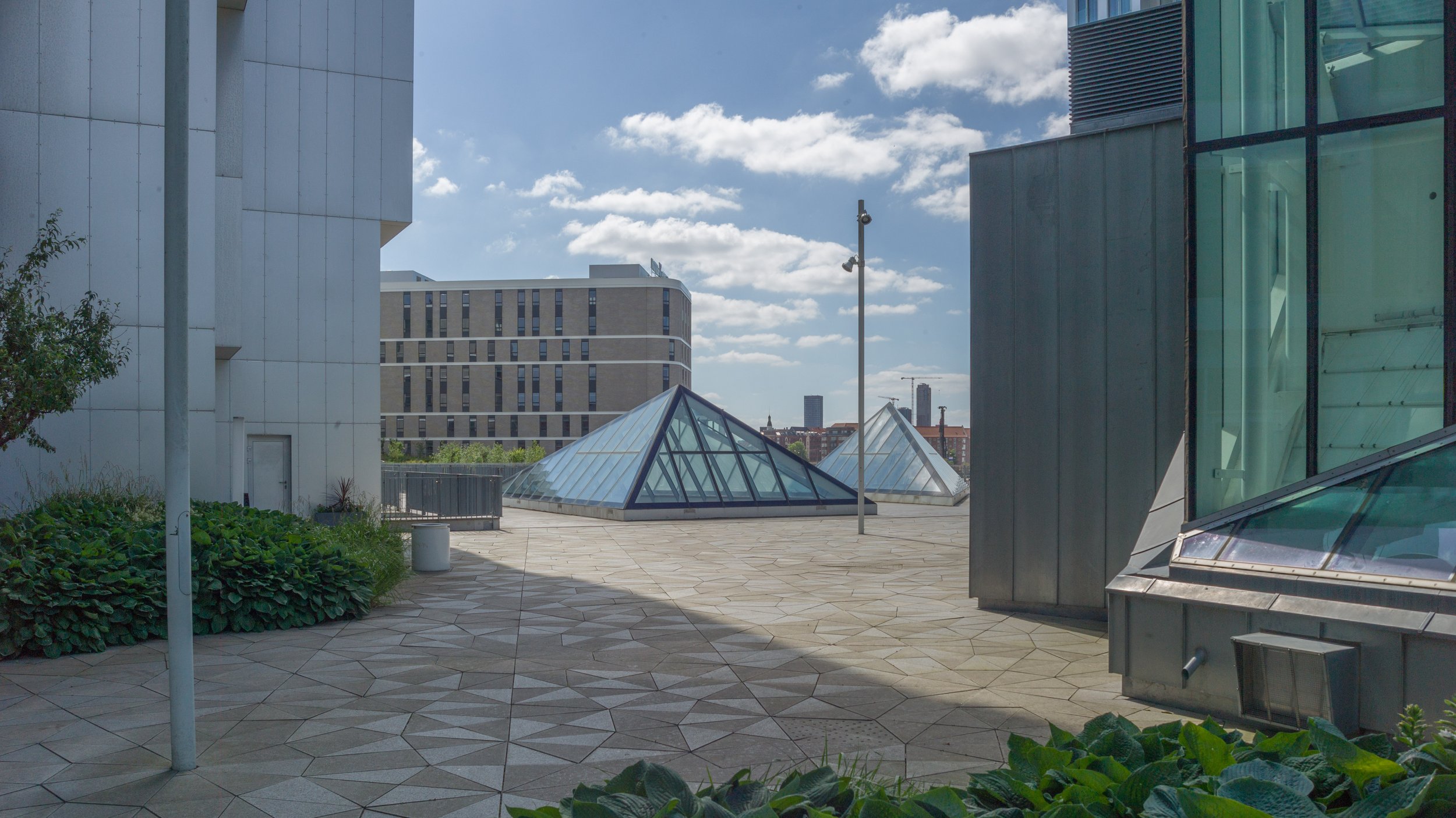
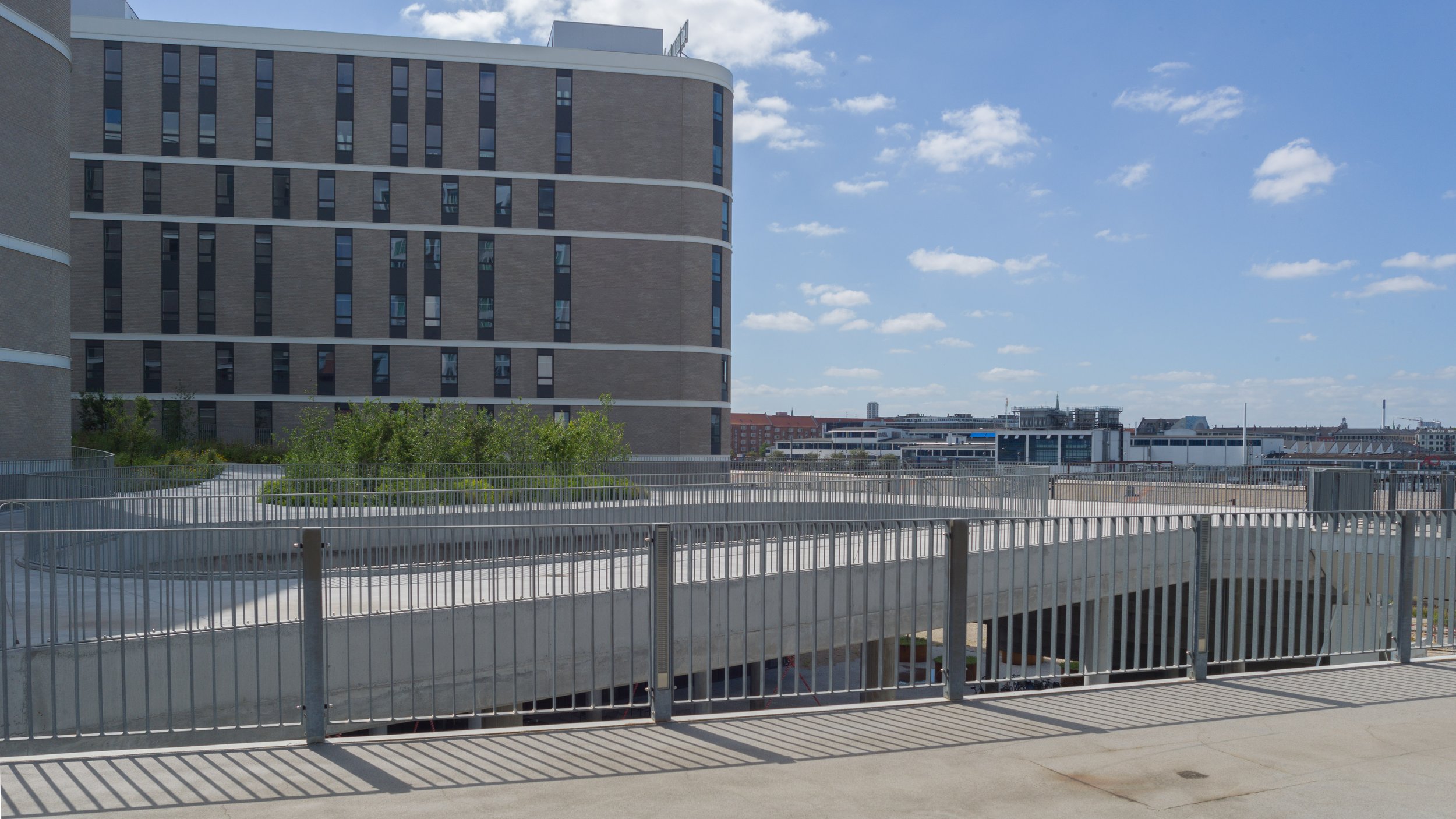
an introduction to Kalvebod Brygge

Planning is about the future. That's in the very word itself. We plan to do something ... planning is not retrospective. But it really is important to understand how we got here - why a street or group of buildings is as it is - to understand how and why what we have is good or bad and to use that to inform what happens next.

The history of Kalvebod Brygge is fascinating and complicated but, in terms of history, all relatively recent and all recorded on the maps produced over the last 100 years or so.

Primarily, the development of the south harbour is a lesson in how economic and political events often move faster than the best-laid plans for our streets and squares and, too often, a complicated scheme of renewal or development can take so long to realise that it is redundant or inappropriate by the time it is completed.


1912

1945

1967

Until the late 19th century, the harbour south of what is now Langebro was a wide bay.

In the middle of the 19th century a new railway from Copenhagen to Roskilde was laid out along the north beach of the bay, along what is now Sønder Boulevard. In commercial terms, the close proximity of water and railways is catnip for development … as much back then in the 19th century as it is now.

First a meat market and gas works were built out into the bay with wharves for the delivery of coal for both the gas works and then for a new electricity works built immediately south of Tivoli. That was superseded in 1932, when the coal-fired power station of HC Ørstedværket opened.

There were wood yards between the harbour and Ny Glyptotek when it was built in the 1890s but these were rapidly replaced with new streets and apartment buildings.

A new central railway station was built in 1911 and the railway was taken out on a wider curve on yet more land claimed from the bay and, for the first time, Bernstorffsgade, between the new station and Tivoli, became a main road though, initially, it did not continue much further than the south-west corner of Tivoli and certainly not as far as the harbour.

At about the same time, so from about 1890, the line of the shore of Amager, opposite, was also being pushed further and further out into the bay and both sides of the approach to Langebro became docks.

If you use the word port it usually conjurers up the image of ocean-going liners but this was docks .... vital, hard working but fairly grubby commercial quays for coal, grain, sand and building materials and soy beans and sugar. The sort of goods carried in freighters.

On the city side, these  commercial docks continued all the way up to Knipplesbro so across where the National Library and BLOX are now.

Rail tracks came off the outside curve of the main railway and ran all the way up the city side as far as Nyhavn and at Langebro the railway crossed over to Amager and ran down quays on the Islands Brygge side … all for goods and not for passengers.

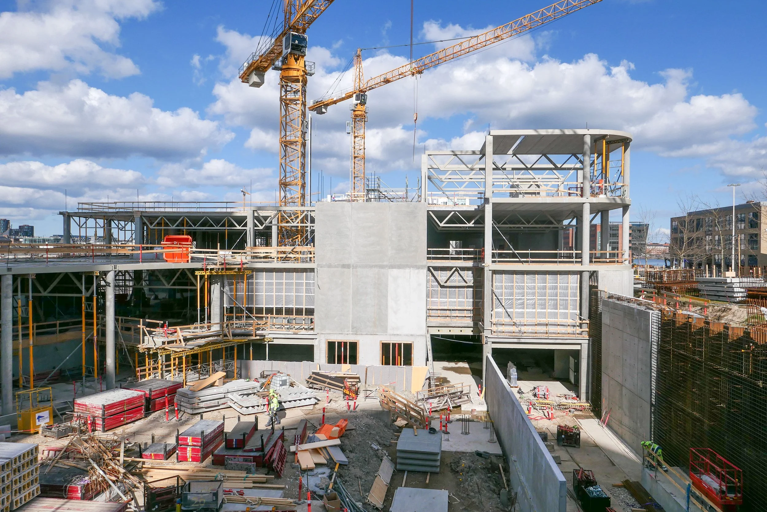
The area where Kalvebod Brygge is now was mainly rail sidings and marshalling yards and, although it might seem incredible now, this was where, around 1969,  the city built the first container port. The main area for transferring containers from ships to railway trucks - then a very new system for shipping goods - was on new yards where the service depot of the metro is now.

There were soon huge new cranes along the quay for transferring containers but it was early days for this new form of shipping and there are accounts of early attempts to pick up and move containers with a fork-lift truck on each side in, what sounds like, a dangerous balancing act or containers were lifted up from the end which blocked the driver’s view of where he was going and it can’t have been that good for the cargo to have the container tipped up at an angle.

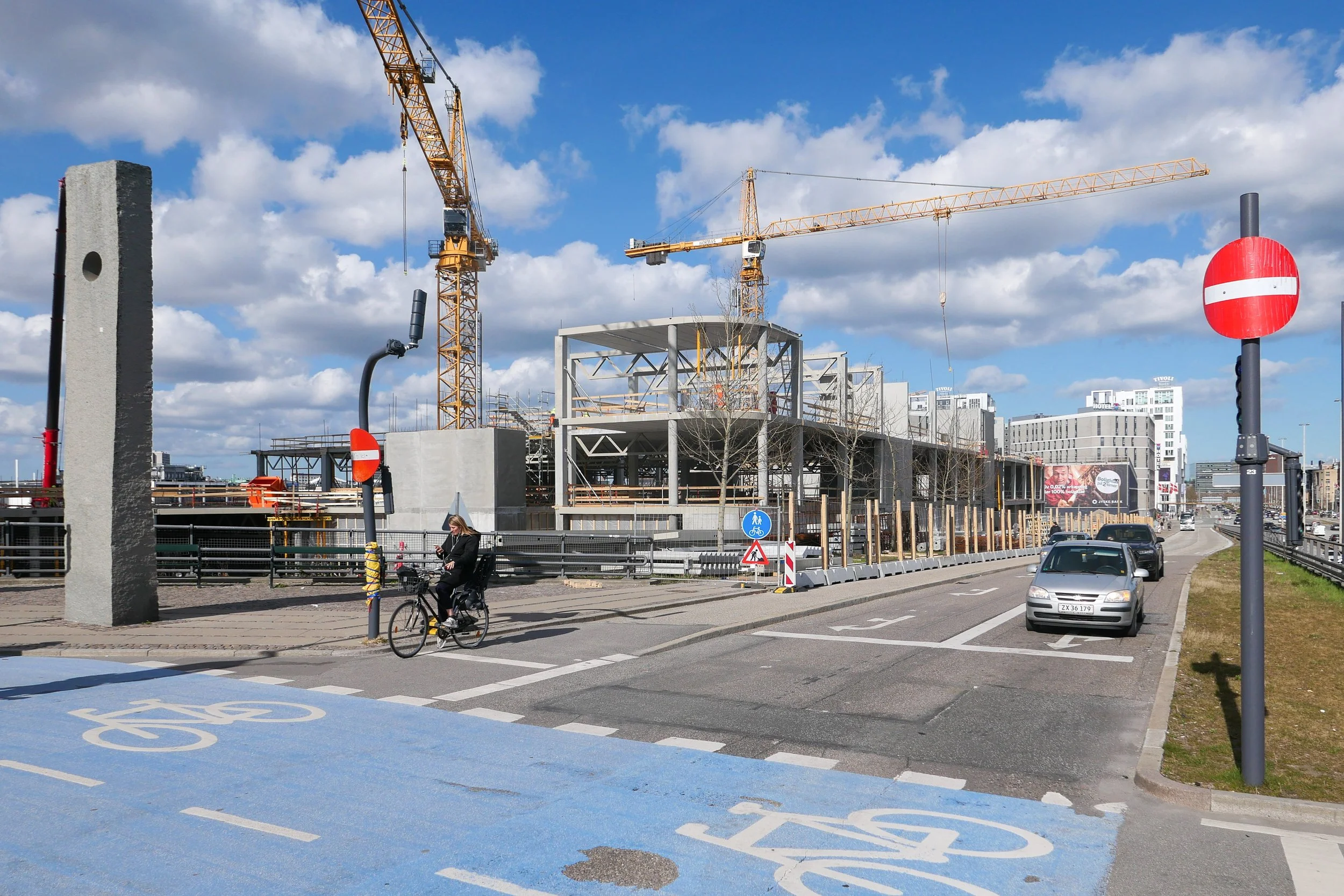
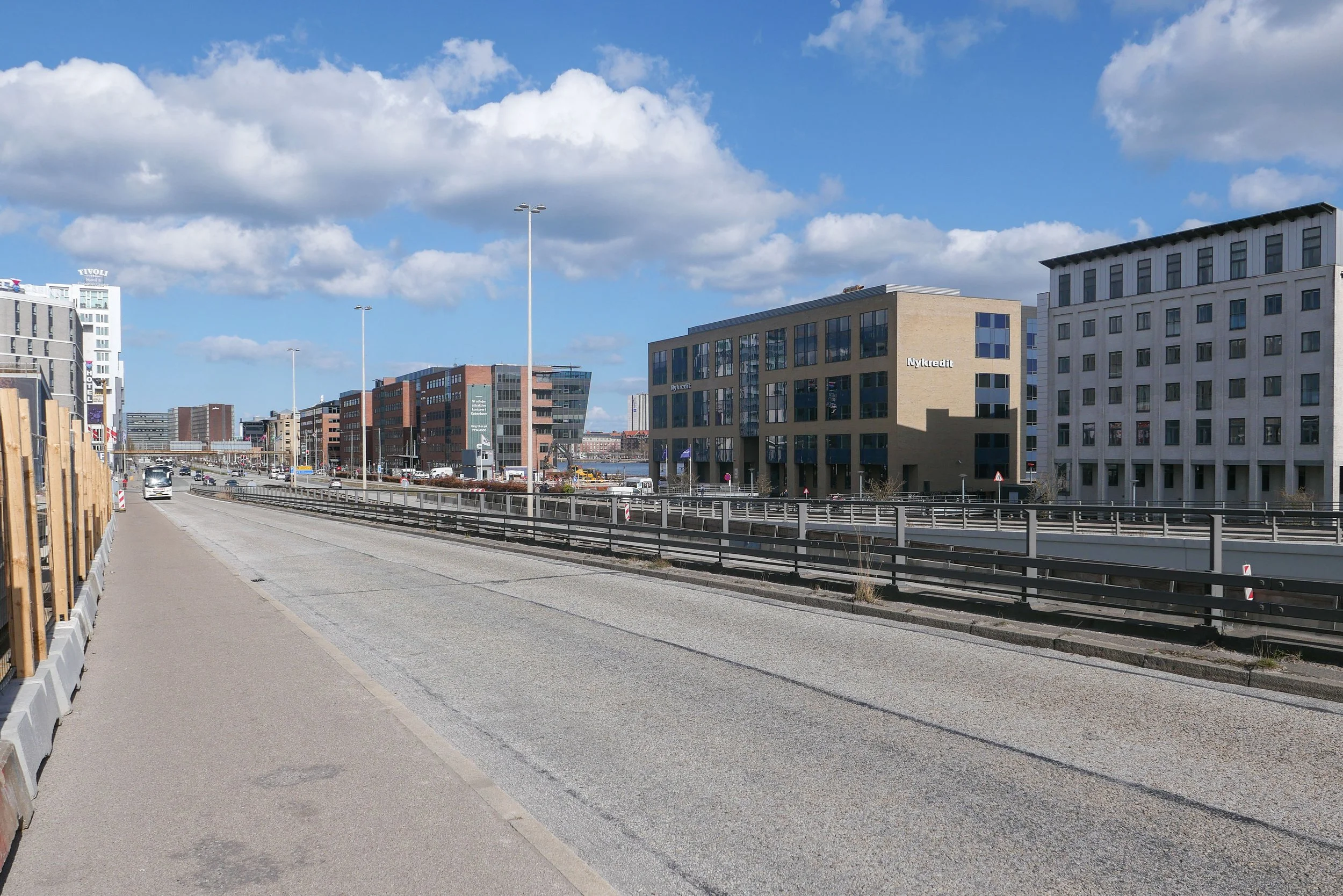
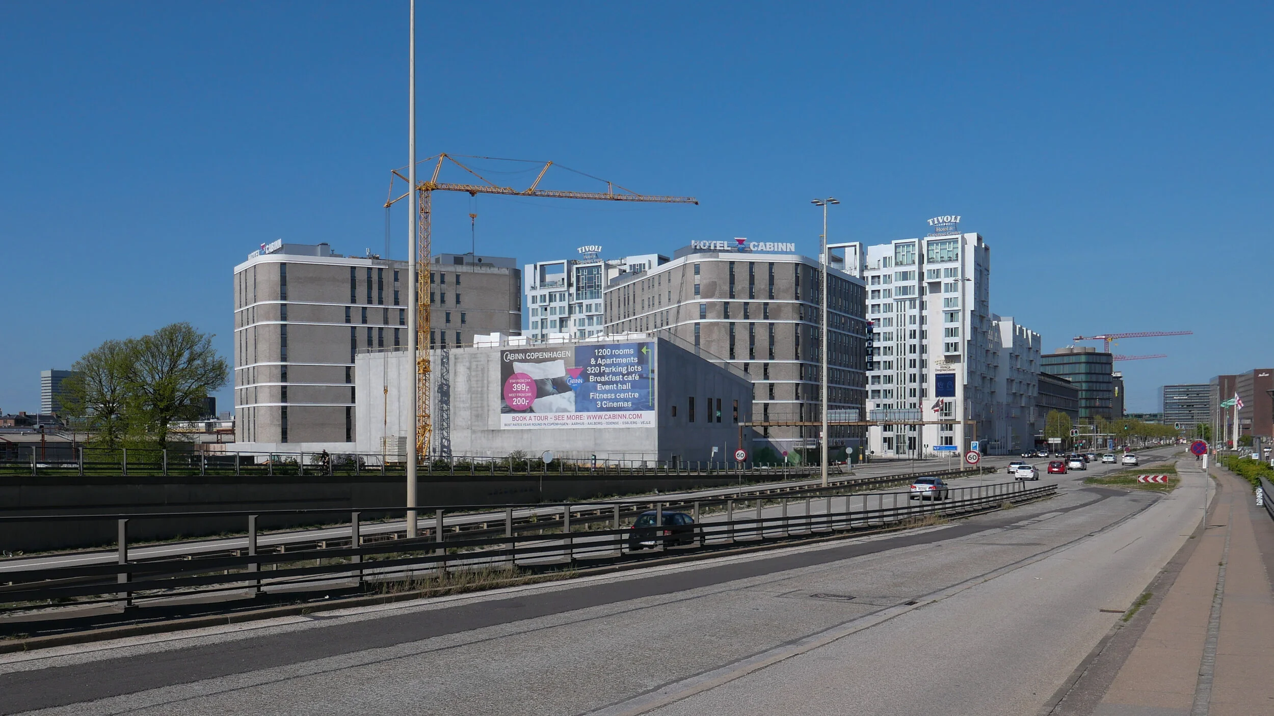
There was still a large building of circa 1910 that had been a pig market on the quayside although it had been used as a garage for some time. It was demolished in 1966 and work started on extending Bernstorffsgade down across the site of the market as far as the quay and then a main road, a dual carriageway, was constructed along the quay - and that is what is now Kalvebod Brygge - to be the main fast route into and out of the city.

This was part of wider plans to modernise radically the road system of the old city with wide and fast new roads. It was the period when there were even plans to build a motorway down the lakes as an inner ring road and the period when large blocks of old buildings in the north corner of the old city were demolished and the first glass and steel office buildings were constructed within the old defences.

But events and world economics and technology were moving faster than the plans and the dock was in decline. Not least, the problem was that the docks had to deal with larger and larger ships and these would all have meant the raising of Knipplesbro and Langebro and the opening of the rail bridge at Langebro to let them through. The docks in the south harbour went into decline and the focus turned to large new facilities at Nordhavn and on the expansion of other ports in Denmark

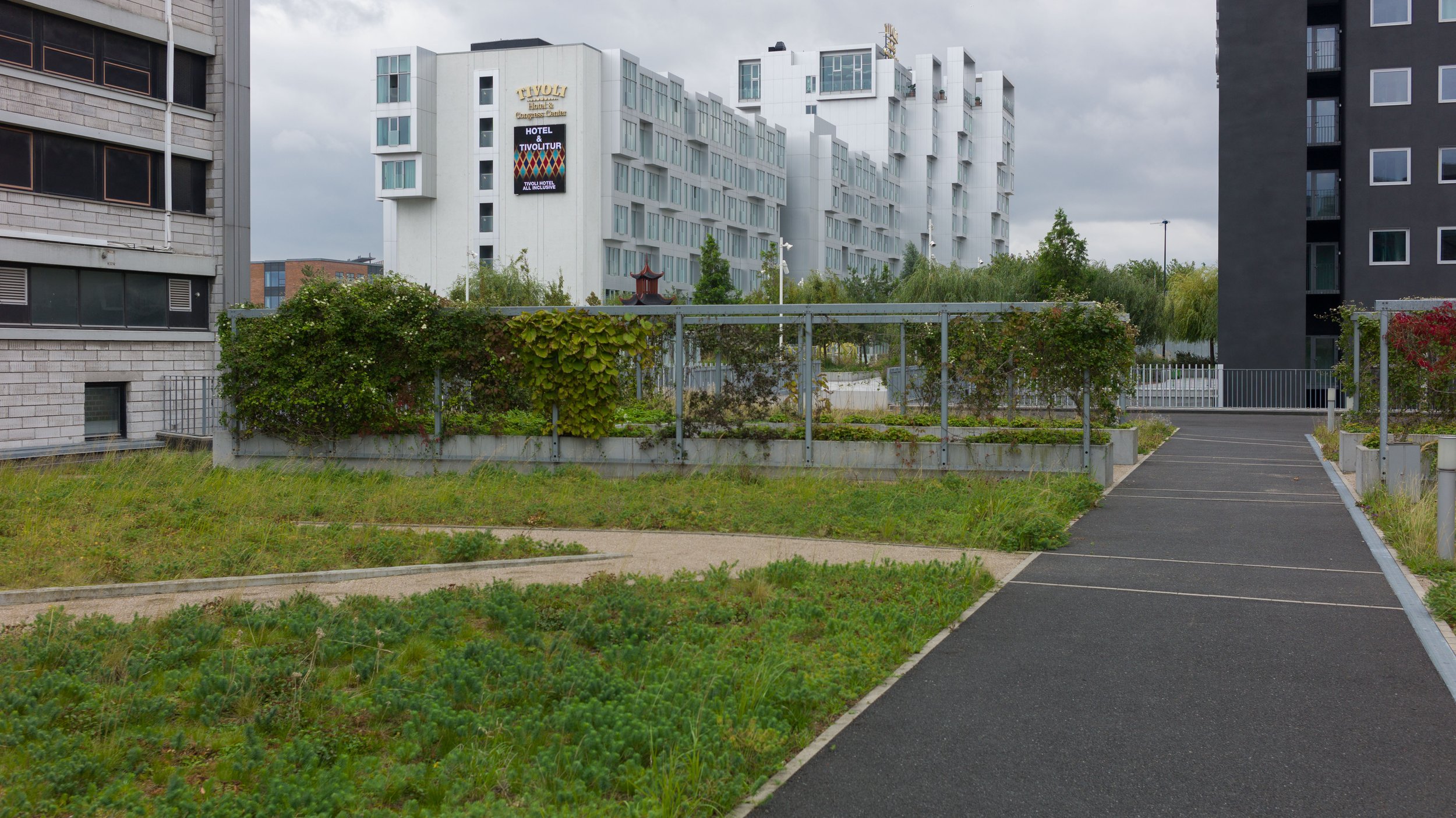
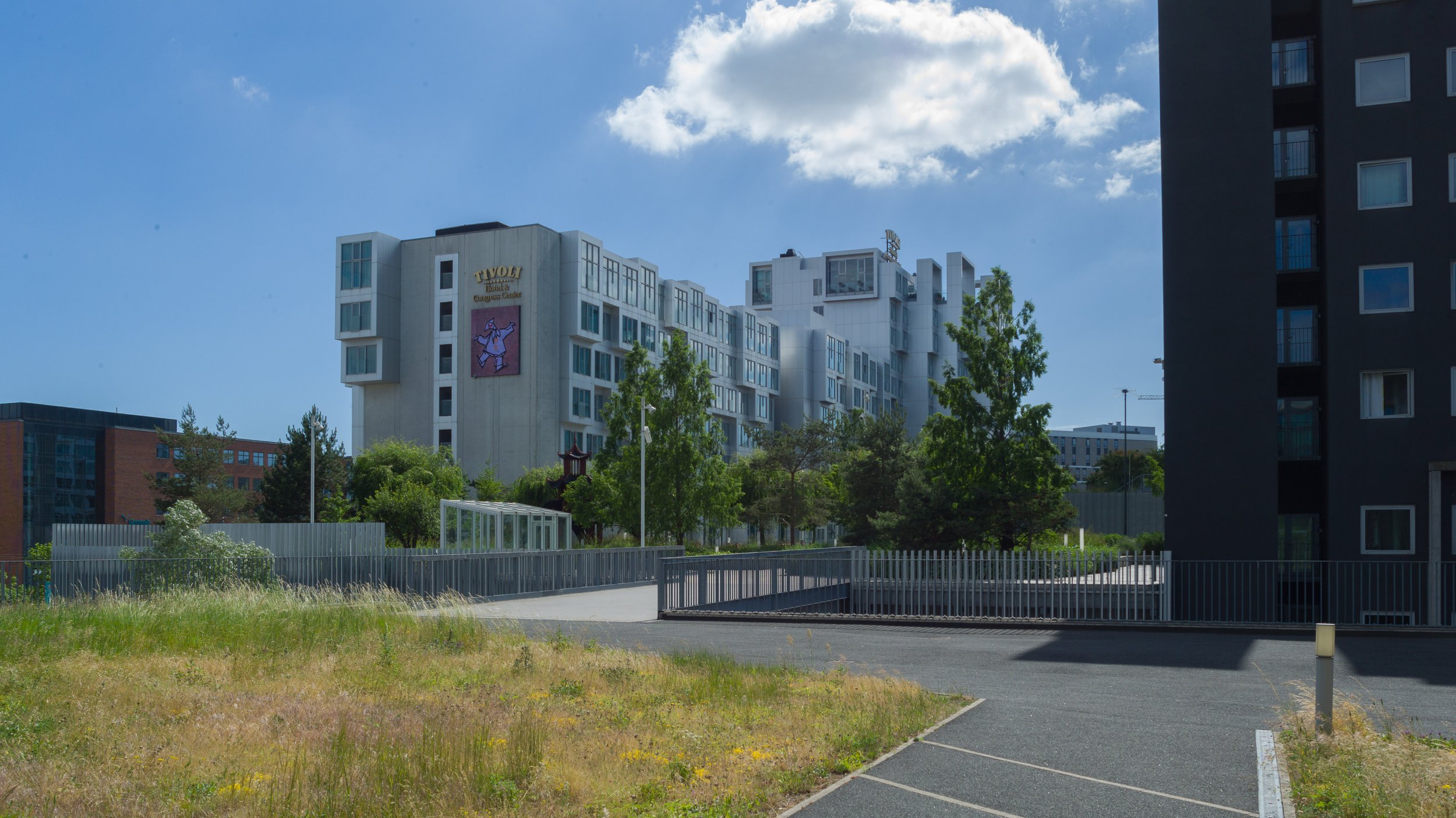
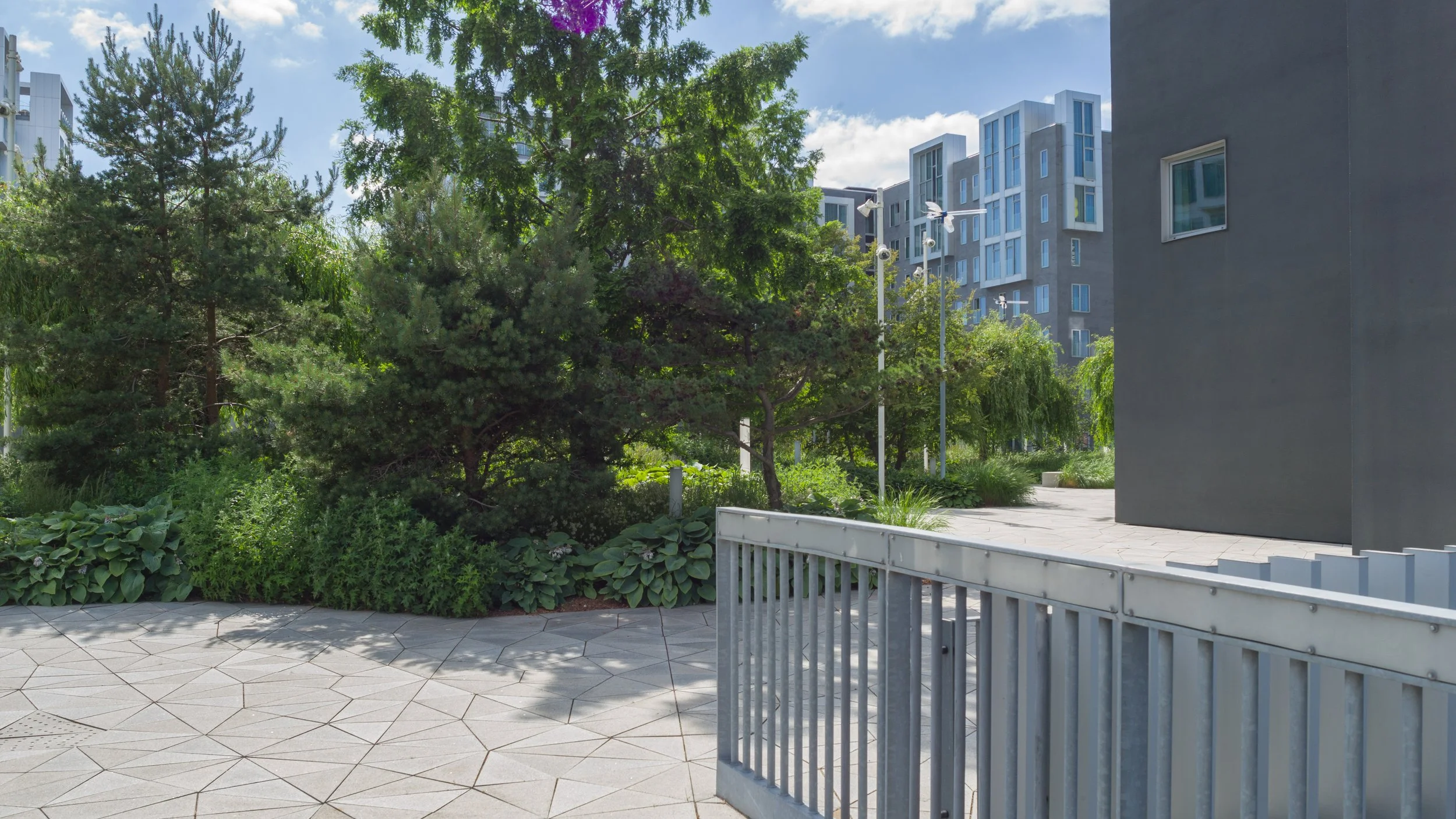
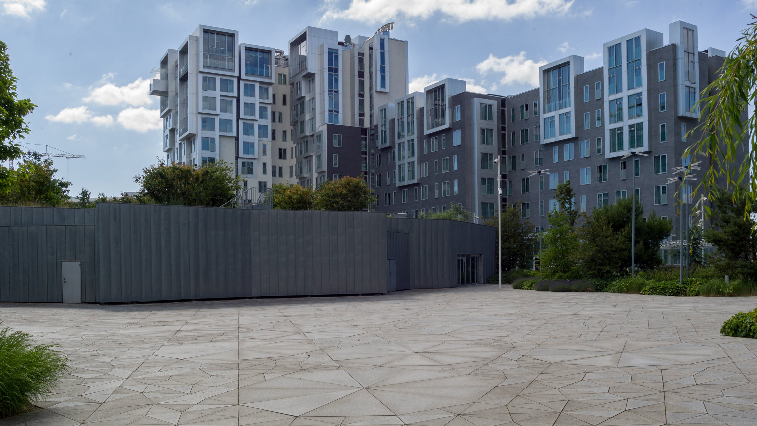
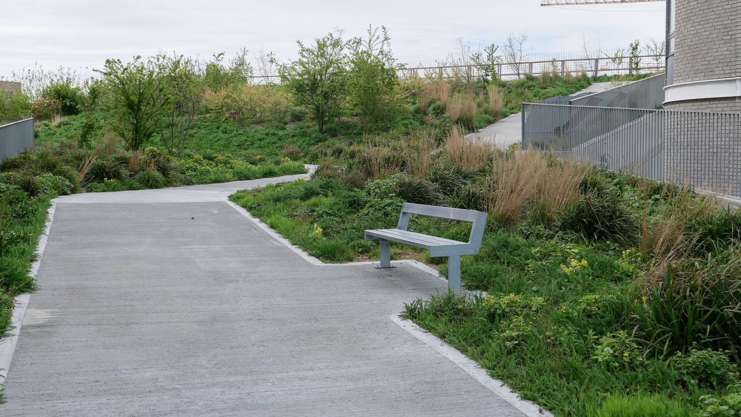
If the office buildings along Kalvebod Brygge can be criticised, it is because they are uninspiring and waste an amazing location but, by the late 1980s and into the 1990s, the city was facing bankruptcy and a new business area and any way to revitalise the harbour was better than any alternative. Award-winning architecture was not a priority.

on the city side, the commercial quays continued as far as Knippelsbro

the pig market that was demolished in 1966 for the extension of Bernstorffsgade as far as Kalvebode Brygge - Copenhagen Archive 42126

construction work for Kalvebod Brygge - Copenhagen Archive 91920
the building immediately below the end of the crane is what is now KB32

Bernstorffsage and Kalvebod Brygge in 1989 - the tower block is now a hotel and the car park to its right is the site of the new Scandic Spectrum hotel
the area of grass to the left is where the SEB offices are now
note the commercial/industrial building north of the police station - the building with a circular courtyard
that site too is now a hotel

det grønne strøg / the green line - the high-level landscape of Kalvebod Brygge

An ambitious plan to create a raised landscape at a high level between new buildings on the railway side of Kalvebod Brygge was set out in the local plan of 2006 where it was described as if it was to be a series of hills.

The first part of the gardens, at the north end - with a steep slope up from Bernstorffsgade, between the towers of the SEB offices, was completed in 2009 and the gardens were soon extended on across the roof of a new archive building and through to the Tivoli Hotel and Congress Center. Then the new developments stalled.

The west end of the landscape gardens, through the Nexus building, has just been planted but construction work on the middle section, across the roof of a new IKEA store, has only just restarted.

All these new buildings, that frame the gardens, are between Kalvebod Brygge and Carsten Niebuhrs Gade and, when finished, the high-level landscape will extend for over a kilometre from Bernstorffsgade to a new railway traffic control tower on Otto Busses Vej.

Lokalplan nr. 403 "Rigsarkivet" 2006

the landscape scheme starts at Bernstorffsgade at the SEB buildings
a winding concrete path climbs up a steep slope from the road with well established trees

this sequence of photographs shows the gardens from Bernstorffsgade to Arni Magnussons Gade and the bridges across to Hotel Cabinn

At the city-centre end, at Bernstorffsgade, the landscape starts at street level with pathways twisting from side to side to climb up between the SEB buildings to a point 7 metres above the level of the pavement.

There is then a wide bridge that crosses a service road for the State Archive and the gardens continues between the archive stores on the side towards the railway and a newly-revamped office building, now known as KB32, on the Kalvebod Brygge side. That straight section of garden, 190 metres long and 29.6 metres wide, is 8 metres above the pavement of Kalvebod Brygge.

Maintaining that level, there is a single narrow bridge over another service road before the gardens open out between the towers of the Tivoli Hotel and Conference Centre.

Beyond the Tivoli hotels, there is a slightly odd and over-complicated series of narrow bridges - with handrails that would grace a multi-storey car park - that cross a wider street called Arni Magnussons Gade. It is a dual carriageway that will be the access to a new bus station between Carsten Niebuhrs Gade and the railway.

Here, the landscaped area first forms the canopy over the entrance to the Hotel Cabinn before the garden then climbs up steeply between the two towers of the hotel where it now ends abruptly at a fence before the next section where work has just started on building a new IKEA store.

There, about 17 metres above the pavement of Kalvebod Brygge, the garden or "green lounge" on the roof of IKEA will be level and will cross over Dybbølsbro.

Then, between the two towers of Kaktustårnene or The Cactus Towers designed by Bjarke Ingels, the gardens will drop down at a very steep angle to the entrance level to the two blocks of the new Nexus building and then, between the those two office blocks, drop down again to end at the level of Carsten Niebuhrs Gade.


map from 2006 in Kalvebod Lokalplan 403 with the different stages of the development of this area from the SEB site at I through to the IKEA site at IV ….
then, the green line was only to extend as far as the area where Kaktustårnene are, beyond Dybbølsbro, but not the site of the railway control tower

①  Danske Banks Hovedsæde / headquarters for Danske Bank by Lundgaard & Tranberg - under construction
②  SEB Bank & Pensions by Lundgaard & Tranberg 2008-2011 and The City Dune by SLA design studio
③  Rigsarkivet / State Archive by PLH Arkitekter
④  KB32 by Vilhelm Lauritzen Architects and JJW ARKITEKTER completed in 2021
⑤  Tivoli Congress Centre by Kim Utzon 2009-2016
⑥  Hotel Cabinn 2019
⑦  IKEA store by Dorte Mandrup - under construction
⑧  Kaktustårnene / The Cactus Towers by Bjarke Ingels - under construction
⑨  Nexus for Energistryrelsen Trafikstyrelsen and Banedanmark by Arkitema 2014-2019
⑩  Trafiktårnet Øst / Railway control tower by Tranberg Arkitekter 2013-2015

A Bernstorffsgade B Carsten Niebuhrs Gade C Kalvebod Brygge D proposed bus station E Dybbølsbro F Fisketorvet G Metro station opens 2024


the gardens on the steep slope where they climb up between the towers of Hotel Cabinn

from the bridge over Arni Magnussons Gade, the gardens climb steeply up to a temporary fence where the gardens will continue on over the roof of a new IKEA store


details of the planting and concrete paths on the slope up from Bernstorffsgade between the two SEB buildings by the landscape designers SLA

Planting is well-established between the SEB buildings with a good selection of trees, many with decorative bark, and with some that have grown up through large holes in the prominent concrete canopies of the buildings. Narrow slots in the concrete path channel away rain water that is recycled for watering the trees and shrubs.

Across the roof of the archive, the design is more architectural with low planting and trellis that form a sequence of simple spaces with seating. The gardens help control the temperature and internal climate of the archive.

The section through the Tivoli Hotel has well-established shrubs and trees but the spaces could be better used. This is one area that might be treated like public squares and might even be used to host events. It would also be the one place, along the length of the gardens, that might benefit from a small coffee bar or cafe although, generally, the main character of the gardens is that it is quiet or peaceful ... when taking some of these photographs on a Sunday morning, only two people walked through and there were birds singing loudly in the trees.

The steep path up between the towers of Hotel Cabinn has no trees and although the low planting is good - with a variety of leaf types and shrubs - the plants could be in bolder groups, to create a stronger architectural character against the stark buildings, rather than being scattered. There are benches at intervals up the slope where you can take in the views.

At various points through the gardens there are views out between the buildings to the railway and Vesterbro on one side and through to the south harbour on the other.

There are drawings of the proposed garden on the roof of the IKEA store but it is difficult to imagine how the areas of planting will then drop down the steep slope between the Cactus Towers although Bjarke Ingels has produced planted areas at a similar steep angle on the 8 Building in Ørestad and at Copenhill on the roof of the Amager Bakke incinerator.

Where the garden drops down again between the two blocks of the Nexus building, new planting has established itself quickly and there is an interesting concrete rill or channel to take rain water down through the garden.

Back at the city end, when finished, new headquarters for Danske Bank on Bernstorffsgade immediately north of the SEB towers, will have broad flights of steps up between the buildings to a new terrace overlooking the railway and this will be connected to the main landscaping by a bridge over Carsten Niebuhrs Gade between the SEB building and the Archive.

When finished there will be public access for the full length of the high landscape and with steps up to the gardens at several intermediate points.

new steps up to the gardens with Tivoli Hotel to the left and Hotel Cabinn to the right and with the cross road Arni Magnussons Gade between the two hotels


the gardens on the roof over the IKEA store with the two Catus Towers beyond

the far end of the gardens where it drops down between the two blocks of the Nexus building with a view of the new railway control tower beyond


construction work has started for the new IKEA store in Copenhagen

Work has started on the construction of a new IKEA store on Kalvebod Brygge in Copenhagen - the main road running out of the centre and heading to the south west along the north side of the harbour.

The project, designed by Dorte Mandrup, was put on hold by IKEA for well over a year but parts of the concrete frame and the upper floors are now in place so you can see that it will be a substantial building.

The store will have a large garden across the roof that will continue a raised and landscaped walkway, started over ten years ago. When finished, there will be areas of garden above street level for over a kilometre from the SEB bank building by Lundgaard & Tranberg Arkitektfirma at Bernstorffsgade through to the new Cactus building by Bjarke Ingels - beyond the IKEA building on the west side of the bridge from Dybbølsbro Station to Fisketorvet - and then on to the new railway control tower at Otto Busses Vej.

The roof over the IKEA store has been described as a green lounge and there will be good views from here over the railway lines to Vesterbro to the north and to the city to the east.

Tall and thin concrete columns will support the canopy or bridge taking the garden over the top of Dybbølsbro and this strong vertical emphasis is taken across the main front of the store - on the front towards the railway - and around the pavilions that rise above the garden level.

This is a challenging site between the new Hotel Cabinn to the east and Dybbølsbro to the west - the high-level bridge that crosses from Vesterbro and the suburban railway station to the north to the shopping centre of Fisketorvet and the harbour to the south.

The site is about 65 metres deep and 240 metres from east to west - from the hotel to the bridge with a high raised bank across the south side that is the retaining wall for an exit slipway from Kalvebod Brygge and, to the north, on the other side of Carsten Niebuhrs Gade, are the tracks of the railway running in and out of the main station.

Dorte Mandrup

note: south to the top

left - the west end of the new store
centre - the slip road down to Kalvebod Brygge across the south side of the site
right - down the slip road and the buildings between Kalvebod Brygge and the harbour

friends and former colleagues accuse me of being uncritical of everything and anything if it’s Danish so, to redress the balance, I bring them here to Kalvebod Brygge to show them that Danish architects and planners can get it wrong …. very very wrong


below - the proposed IKEA store from the north with the bridge from Dybbøsbro station on the right and the Cactus building by Bjarke Ingels on the right edge and Hotel Cabinn on the left.
in the foreground is Carsten Niebuhrs Gade - between the main railway line and the IKEA site - and with the new bus station that is proposed for the strip of land against the railway.
Fisketorvet, with its distinct concave entrance, is beyond and the new metro station will be at the south-west end of Fisketorvet so to the far right
beyond the harbour is Amager


a new bus station to be built on Carsten Niebuhrs Gade


In March, Vejdirektoratet / the Danish Road Directorate, confirmed that a new terminal for long-distance buses will be built on the narrow strip of land between Carsten Niebuhrs Gade and the railway lines.

The land is about 500 metres long but only 20 or 25 metres deep from the edge of the road to the boundary fence of the railway so the buses will pull in and park at an angle.

The terminal will open in the Spring of 2023 and will replace bus stops closer to the main railway station that are along the pavement on Ingerslevsgade - the road on the inside curve of the railway tracks.

At Carsten Niebuhrs Gade, there will be 15 stands for buses with waiting facilities for passengers, including toilets and a kiosk, and there will be space for 200 bicycles to be left at the lower level and a lift up to the bridge to transfer to the suburban railway station at Dybbølsbro to the north or to a new metro station at the west end of Fisketorvet - the shopping centre to the south.

A report by the engineering consultants MOE from August 2019, showed details for traffic flow in and out of the bus terminal from Kalvebod Brygge with necessary road markings and lane markings at all the junctions. The bus terminal will deal with 195 buses a day and approximately 1.4 million passengers a year.

When completed, the terminal will be handed over to the city but will be run by the transport company Movia.

Vejdirektoratet
MOVIA

view along Carsten Niebuhrs Gade - looking east from under Dybbølsbro towards the new Hotel Cabinn.
the site for the new bus station and buildings along the railway are to the left and the site of the new IKEA store is to the right. The blank grey rectangle in front of the hotel is the end of the raised walkway waiting to be linked on to the garden across the roof of the IKEA store

Kalvebod Brygge to the top and the railway terrain to the bottom with Tivoli Congress Center, the bridges over Arni Magnussons Gade and Hotel Cabinn to the left and then the site where work on the new IKEA store has restarted and with the bridge from Dybbølsbro station to the Fisketorvet shopping centre on the right
the new bus station will be between the railway and Carsten Niebuhrs Gade


Halmtorvet - a new storm drain

Sønder Boulevard - the wide street running out to the south east through Vesterbro from the west side of the main railway station - is now partly blocked with high hoardings like those that were used around main sites for engineering work when the metro was constructed. However, this site is not for the metro but for major engineering work to construct a massive storm drain.

It is part of a scheme for rain-storm mitigation for Frederiksberg and, when completed, it will be about 1.25 kilometres long to take storm water from Sankt Jørgens Sø out to the harbour with an outlet just east of the Copenhagen Island Hotel on Kalvebod Brygge … close to the swimming area in the harbour at Fisketorvet.

read more

wasted opportunities?

OK …. just to get shot of some of the negative posts in my to-do tray.

This is Kalvebod Brygge.

What a waste of an amazing frontage to the harbour. The quay faces south-east so is bathed in light reflected off the water so, in theory, it’s the sort of site any developer should be prepared to die for.

Some of the buildings are good and would grace any ordinary downtown office area but as part of a large group here they are more than uninspiring. To be fair, there are understandable excuses or at least good reasons. This is a narrow strip of land that by the 1970s was trapped between a dock road that had become a major entry into the city - so had and still has heavy traffic - and a stretch of harbour that might have been developed commercially in the 1950s or 1960s if container ships had not got so big or Køge bay was not so shallow. If you look at photographs from the mid 1950s, when the new bridge at Langebro was completed, then you can see why planners and the city thought almost anything would be better than what was here and when work started on the buildings it was well before harbour-side apartment buildings became the money earners they have become.


Langebro in 1956 - just after the new bridge opened - with the tower of what was then the new Europa Hotel and is now Danhostel Hotel on the city side of the bridge and with Kalvebod Brygge beyond

What is less easy to understand is more recent development behind on a second narrow strip of land that runs parallel on the other side of that dock road, between the road and the main railway line into the central station from the west.

The Tivoloi conference centre and a new hotel - Copenhagen Cabinn - should be near the top on any list of the ugliest buildings in the city and I'm not convinced that the redevelopment of the old post office site at the east end will help.

Beauty is not everything but people should want to be here and should enjoy being here. It’s not even clear these buildings even have a viable and useful future as office buildings when, post virus, large office buildings are probably what people don't need or want.

The quay itself is now part of the long and carefully-planned bike route round the harbour and the rapid development of new housing around the south harbour, further out down the harbour, is bringing more people through here on their way into the city but is that enough?  

What Kalvebod Brygge needs is a long-term development plan with strong planning controls. That's not just control over plot boundaries on land that had been bundled up in convenient lots for the highest bidder or even about controlling building use. A new inner-city IKEA store is still in the pipe line with a new bus station that seems to be oddly located and, maybe or maybe not, there will be much-needed student housing … but more important, there should have been controls over heights, sight lines, massing and connections - visually and physically - between buildings. 

Danish urban landscaping is some of the best in the World but I'm not convinced that the right planting and some good seating will pull this little lot together.


Generally, the tight street layout of the first stage of development in Nordhavn, now near completion, actually works. 

Somehow it seems appropriate with strong and distinct architecture and with buildings huddled together against the worst weather the sea can throw at it. Maybe that's too romantic and optimistic a description - too like the prose of a travel brochure - but there are some good buildings here including The Silo and the new metro station at Orientkaj - both by COBE who also produced the initial area plan - although I'm still not completely convinced by the shocking blue of the International School by CF Møller.

But why oh why are the new apartment buildings along Sandkaj so boring?

Sandkaj is the south facing quay, and these apartments look across Nordhavn Bassin to the UN building, so what a waste of an amazing location. It's as if a planning assistant was given a box of perfectly functional but uninspiring apartment buildings and had to put them out for the punters. This is like spreading out magazines in a dentist’s waiting room. 

It did not need much … just a bit of thought and more careful arrangement of the blocks with a bit of height somewhere and a bit of recession - so a bit of shadow - and certainly a coherent and a bolder use of colour and texture. Choosing an apartment here must be like picking out a suit on a long rail of basically identical grey suits in a department store. Here's one with two bedrooms and a balcony in pale brick or here's one with two bedrooms and a balcony in a slightly darker brick or how about this one with two bedrooms and a balcony ………….

As for Carlsberg City ..…  that is panning out to be a travesty with development at any cost with good planning sacrificed so a lost opportunity of the worst kind and the most scandalous waste of an amazing site and a waste of some of the most astonishing and quirky industrial buildings in the world. Maybe more about Carlsberg City another time. I have to worry about my blood pressure.


Hotel Cabinn Copenhagen

L1132276.JPG

This is the most recent hotel to open in Copenhagen and certainly the ugliest hotel in the city and no one seems quite sure how it happened …. the city council and planners have kept quiet since it emerged from behind scaffolding; the architect has disowned it and the owner has tried to claim that it is a work in progress.

I've always thought that the Tivoli Hotel and Congress Centre is one of the ugliest buildings in the city but Hotel Cabinn Copenhagen on Kalvebod Brygge has muscled in front - quite literally in front - but it hardly seems a sustainable planning policy to hide monstrous buildings by building something even more ugly in front.

Kalvebod Brygge looking towards the city
with the Tivoli Hotel behind
not the finest view in Copenhagen


the south harbour

looking north up the harbour towards the historic centre of the city from Cykelslangen - the cycle and pedestrian bridge near Fisketorvet


Obviously the harbour is a major asset for the city … after all Copenhagen was established here and prospered because of the harbour for both merchant trade and for a naval port.

The south part of the harbour below Langebro - the major bridges over the harbour at the south end of the old city - was busy wharves and commercial basins through into the 1950s and 1960s but, in terms of the history of the city, was relatively new as the land on either side had not been reclaimed from the sea until the late 19th century. 

Before that, this part of the harbour was a wide bay between Frederiksberg on the north shore and the Island of Amager on the opposite side. 

Vesterbro and the bay in 1860

These extensive port facilities were linked to a rapid growth in the population from 1850 or 1860 onwards so new meat and fish markets were built here to handle the large quantities of food coming into the city and then later there were wharves for the coal and diesel brought in for the power station.

Actually the harbour is still amazingly wide … some 330 metres wide just before Fisketorvet.

There was extensive new development in the late 20th century - mostly for offices but also a hotel on the city or west side - on Kalvebod Bygge below Langebro - and on the east or Amager side - along Islands Brygge - there is a line of large older apartment buildings, set back behind the commercial wharves, that was workers housing dating from around 1900 - but, since the late 20th century, land and some of the large redundant industrial buildings further south, including massive silos, have been converted to apartments and there are new apartment buildings on south under construction and nearing completion. 

Generally the architecture is inoffensive but generally flat roofed and large and depending on cladding rather than architectural form for any effect. It’s not that any outrageous or highly novel buildings are needed … people usually get tired of anything Post Modern fairly quickly or, come to that, get tired of anything trying too hard … but a little more colour and certainly more architectural features that create light and shade to have an effect across the blocks might have helped and more use of interesting sight lines through to buildings behind would reduce the impression of a string of boxes. Not much of this is bad architecture - just slightly boring architecture and easy architecture that barely does justice to the amazing setting. Future generations of architects and builders will probably look at this as a wasted opportunity.

looking across the harbour to to the buildings along Kalvebod Brygge from Islands Brygge