the Arne Awards

L1176290.JPG

Arkitektforeningen - the Danish Association of Architects - has just announced the winners of the Arne prizes for 2021.

The Store Arne was awarded to TREDJE NATUR for their work on the climate mitigation scheme and remodelling and restoration of Enghaveparken.

The Lille Arne or small Arne was awarded to Byrummonitor - Urban Space Monitor - an online magazine on architecture and planning that was launched in 2018 by the Politiken newspaper group and aimed at municipal administrations, architects, consultants, contractors, investors, planners, politicians and researchers.

It is one of five sites in the Monitor format with the others covering the specific themes of climate, culture, schools and health.

the projects shortlisted for the Store Arne
Enghave Parken


Arkitektforeningen … the awards
TREDJE NATUR
Byrummonitor


update - a road tunnel below Åboulevard and then on below HC Andersens Boulevard

Åboulevard in the late 19th century looking north with the river still at the centre

Bethlehem church designed by Kaare Klint was completed in 1938 but the apartment building dating from around 1900 is on the right on both the historic view and the photograph of Åboulevard now


A proposal for a major engineering project, to construct a traffic tunnel down the west side of the historic city centre, is now in doubt.

It would take underground much of the traffic that now drives along HC Andersens Boulevard, on the west side of the city hall, and is part of a plan to remove the elevated motorway at Bispeengbuen - bringing traffic into the city from the north - and this would make it possible to reinstate a river that flowed into the lakes that now flows through a covered culvert below Åboulevard.

From Jagtvej, at the south end of the elevated highway at Bispeengbuen, and following the line of Åboulevard to the outer side of the lake, is about 1.6 kilometres and, from the lakes, a tunnel running between Jørgens Sø and Peblinge Sø and on along the line of Gyldenløvesgade to Jarmers Plads and then down the full length of HC Andersens Boulevard and then under the harbour to Islands Brygge is another 2 kilometres so, including the proposed tunnel at Bispeengbuen, that would be between 4.5 and 5 kilometres of tunnel in total.

For comparison, in Oslo, the Festning tunnel - opened in 1990 to take traffic away from the square in front of Oslo city hall - and then an extension to the east - the Operatunnelen completed in 2010 - form, together, about 5.7 kilometres of underground motorway.

The landscape and architecture studio Tredje Natur and the engineering specialists COWI have drawn up a feasibility study for the proposed scheme for the finance directors of the city and of the municipality of Frederiksberg - the road runs between the two areas.

Reinstating the river and extensive landscaping would be an important part of storm water protection for the low-lying areas of Frederiksberg with planting, surface drains, and culverts controlling storm floods before taking it away from the area in substantial storm drains in the bottom half of the tunnels below the road decks in the upper half of the tunnel.

Tredje Natur have produced drawings for the planting that would be possible along HC Andersens Boulevard if the heavy traffic that uses the road is taken down into a new tunnel. There could be a narrow road for local traffic, an open water course and extensive planting.

Tredje Natur


a suggestion for new landscaping along HC Andersens Boulevard proposed by Tredje Natur

1 south end of the boulevard looking south towards Langebro with the Glyptotek to the right
2 looking north from the Glyptotek with Tivoli to the left and the city hall to the right
3 from the south-west corner of the city hall square
4 crossing the city hall square heading north
5 the north end of HC Andersens Boulevard looking to to the tower of Realdania on Jarmers Plads

the map was published in 1860 and shows the river flowing into the lakes at the south end of Peblinge Sø with the road on the south bank and just a narrow lane, Aagade, at the back of gardens on the north bank

the river was moved down into a culvert and Åboulevard - the road above the culvert - is now wide and busy with traffic to and from the centre of the city

the lakes to the top with Sankt Jørgens Sø to the left and the end of Peblinge Sø to the right

the road over the causeway comes down to Jarmers Plads and then past the west side of the city hall at about the centre of the photograph with Tivoli to the left and then HC Andersens Boulevard continues on down to Langebro as a main route to cross from the city to Amager

historic aerial view showing the bridge over the harbour at Langebro that was built in 1903 and the first part of HC Andersens Boulevard with densely-planted trees down the centre rather than bumper to bumper cars now


update - Sankt Kjelds Plads - climate change landscape

Sankt Kjelds Plads in July 2018 - looking towards Hahnemanns Køkken - the cafe on the north side of the square


the same view in April 2019

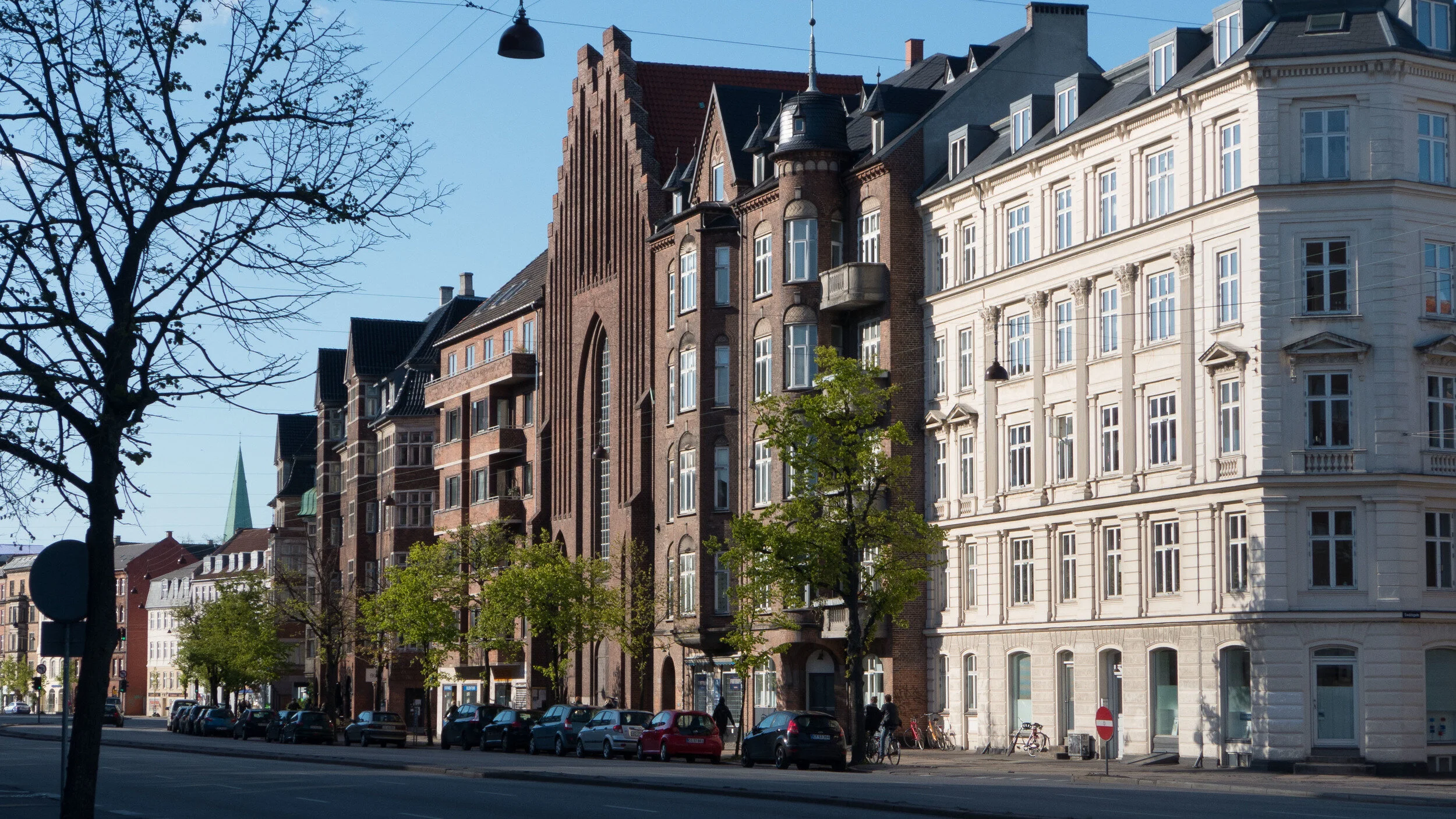
Sankt Kjelds Plads is in a densely-built area of older apartment buildings about 4 kilometres directly north from the city hall.

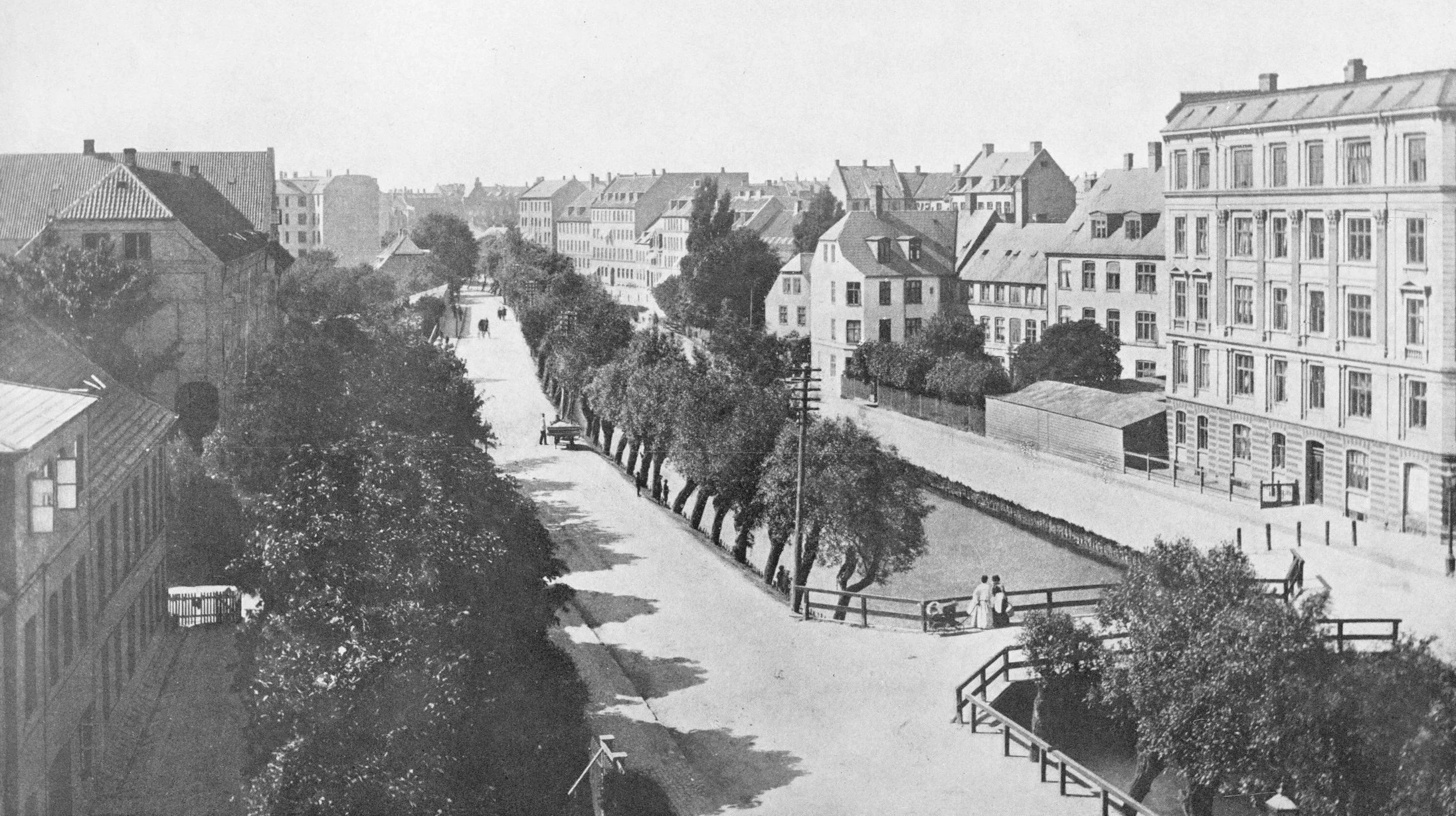
Many of the buildings here date from the 1930s but there are large modern office buildings and large and relatively recent industrial buildings and a large supermarket to the west.

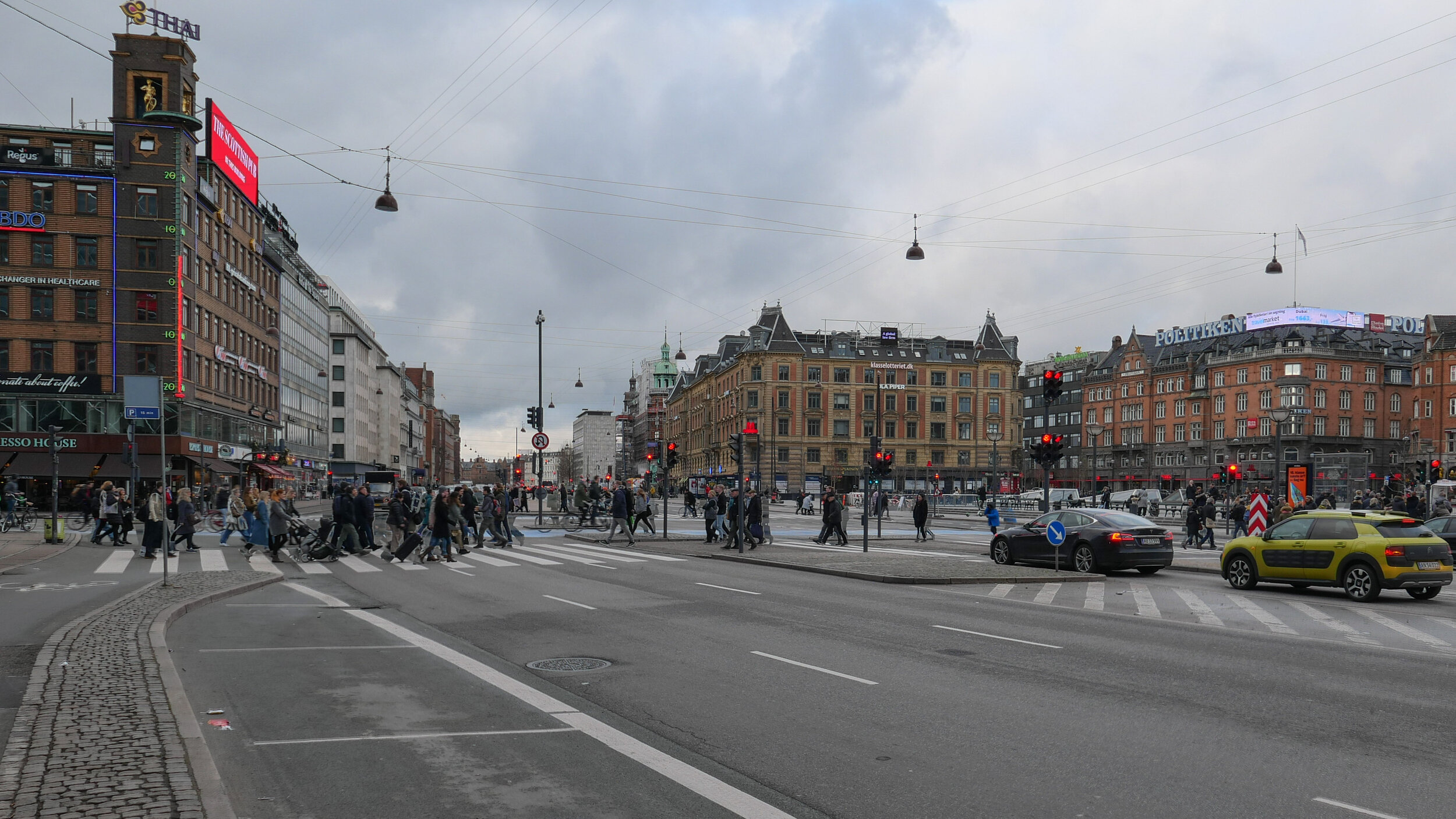
The area has a distinct urban character with relatively wide streets but little planting and not just on street parking but also fairly heavy through traffic. From the air you can see that most of the large apartment blocks have extremely pleasant courtyards with planting but the real problem for this area is that climate change has meant occasional but very destructive flooding from sudden rain storms with traditional street drainage unable to deal with surface water on the streets and with rain running off the roofs of the large buildings.

The solution has been to put in fast-flowing storm drains, surface channels to take water away to tanks or sumps where it can be controlled, and, where necessary, filtered and then released into the drainage system but at an appropriate rate. These sudden storms may last for only an hour but in that time there can be a depth of 30 centimetres of water across the road that stops traffic, floods basements and ground-floor apartments and businesses and takes road-level pollution through the drains and to the harbour and the sound.

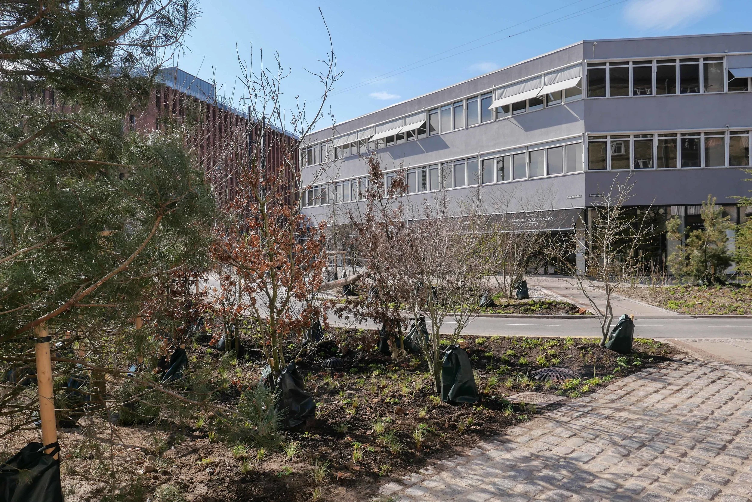
Along with this hard landscaping of drains and surface gullies, the other solution is extensive planting that absorbs rainfall - apart from the most severe storms - and adds considerably to the amenity value of the street scape.

Here at Sankt Kjelds Plads, seven roads converge at what was a very large traffic round-a-bout. That was planted with shrubs and trees but it certainly was not a place to sit. In fact, with the heavy traffic, it was not a place where many people even cut across.

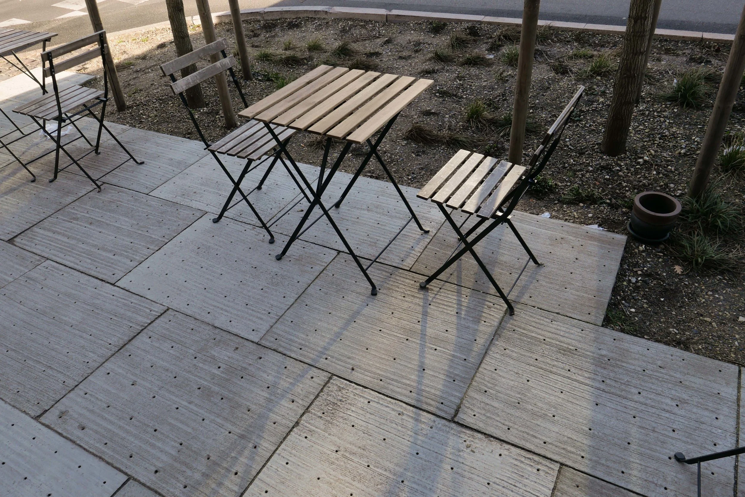
With the current scheme, small areas of pavement in front of the buildings have been pulled forward and the traffic discouraged and the round-a-bout reduced significantly in size. The new areas are densely planted and have pathways curving through them with seats . Sunken areas will flood when there are storms, to act as holding tanks, but have planting that will cope with short periods of partial submersion.

This will be the first full growing season for the trees and shrubs and ground cover so it is not fair to judge the scheme until everything becomes more established but already the transformation is obvious.

This large open space links through with the climate-change landscaping of Tåsinge Plads, about 85 metres away to the east, and the main north south road through Sankt Kjelds Plads - Bryggervangen - is also being planted to form a green corridor from the large park - Fælledparken - to the south and continuing through to an open area and pond to the north beyond Kildevældskirke.

more images and map

post on Sankt Kjelds Plads July 2018
post on Tåsinge Plads July 2018

looking across Sankt Kjelds Plads from the south side - although it is hard to see through the new planting, the traffic island is still at the centre but has been reduced significantly in size


aerial view of Sankt Kjelds Plads after the main landscape work on Tåsinge Plads had been completed - the thin triangular street space on the right towards the bottom - and just before construction work on Sankt Kjelds Plads began so this shows the original traffic island and areas for people to walk kept to the edge immediately in front of the buildings

Tredje Natur - Bright Blue Visions


Tracking back a reference to the work by Tredje Natur on climate paving I came across Bright Blue Visions - an article they posted in 2013 with proposals for development of the harbour with new islands for sport and for a nature reserve for nesting birds as well as a park adjoining the Opera House that could be used for outdoor performances and a centre in the basin at Kroyers Plads to promote Danish advances in water technology. Their important argument was that the harbour is a common resource.

My main reservation is that, although the harbour is a major resource and there has been a long tradition of the city claiming new land from the sea, the harbour is also a phenomenal asset as a major and impressive open space where sports and events and recreational boating and swimming can all be staged but without substantial and long-term structures.

As with the new bridges over the harbour, what is undermined is the sense of space - a threatened asset in any city - and a feeling that the harbour - after all still open to the sea - could become domesticated or tamed and contained and divided up - so little more than a larger version of the lakes across the north side of the inner city.

Tredje Natur

the rain is coming - Heimdalsgade

In 2015, an exhibition at the Danish Architecture Centre - The Rain is Coming - set out the repercussions for the city from major changes in climate.

One obvious problem, already experienced in the city, is that sudden and heavy rain storms overwhelm the drainage system, so streets are inundated with water, traffic is severely disrupted, property damaged and drains and sewers broken or polluted water surges out into the Sound.

Since that exhibition, several extensive drainage and landscape schemes have been completed to cope with these sudden rain storms and the most recent is in Heimdalsgade in the city district of Nørrebro where innovative climate tiles for paving have been installed.

Design work was by Tredje Natur … an architectural and design studio founded in 2012 by Flemming Rafn Thomsen and Ole Schrøder with offices nearby. They undertook extensive research and development for the project over three years that was supported by funds from Realdania and Markedsmodningsfondenover.

Their new system manages both surface water and rain water from the roofs of the buildings along the street by taking it down through holes in the paving slabs and into a series of vertical and horizontal pipes, below the pavement, that control and direct rain water either to temporary storage before it is released in a controlled way into the drains or it is diverted into areas of planting.


Plugs within the pipes can change the configuration but can also transmit data for water management … controlling flow or in winter detecting that pavements have been salted so water cannot be directed to irrigation. These schemes have to protect sewers and stop contaminated surface water polluting water in streams, lakes or the Sound.

These plugs can also be adapted as sockets that take street furniture such as signs, lights and plant boxes.

Work was undertaken to coincide with work to replace pipework for the area heating system to minimise road works and disruption.

The new climate paving can be seen along Heimdalsgade for 50 metres from the end furthest from Tagensvej … so at the corner with Overskæringen, outside the café at Heimdalsgade 22. With a new area of planting taken out into the road, this has meant a new if narrow but shielded public space that has already been colonised with tables and chairs from the cafe.

Tredje Natur


the rain is coming - Sankt Kjelds Plads

Sankt Kjelds Plads looking south from Æbeløgade and the view up Bryggervangen towards the Plads with the new areas for planting under construction in July 2018

new storm drains going in along the road edge (above)
drawing from SLA showing the extent of the scheme from Sankt Kjelds Plads and north and south along Bryggervangen  (below)


Less than 100 metres from Tåsinge Plads is Sankt Kjelds Plads - a second phase of work for new drain systems with hard landscaping and appropriate planting to cope with the inundation of water from rain storms. 

Here there is a large traffic intersection with Bryggervangen running through from north east to south west and three other roads - Nygårdsvej from the east, Æbeløgade from the north west and Sejrøgade from the south west - meeting at a large space that was until recently laid out as a large traffic round-a-bout.

A new scheme with holding tanks for rainwater, new storm drains and a series of water features and extensive planting have been designed by SLA.

New areas of paving and traffic calming with new marked bays to control car parking is well in hand.

It is not just the road intersection that will have new planting but the long diagonal run of Bryggervangen is part of the work and this will form a new green corridor from a small lake and open ground several blocks to the north at Kildevældssøen and continuing south towards the open space of Fælledparken.

the new climate district - by Tredje Natur


A local store has a window covered with a huge illustration of the finished scheme.