Coronavirus and lockdown … is this the time to rethink tourism in Copenhagen?


In Copenhagen in 2004 there were 136 hotels and they provided 4.9 million nights for hotel guests and in that year 250 cruise liners called at the port bringing to the city an annual total of more than 350,000 passengers. Back then, there was no such thing as Airbnb - that only got going in 2009.

And by 2009 the total for overnight stays in hotels in Copenhagen had risen to 20 million and by 2019 risen again to 29 million and that number of hotel overnight stays could DOUBLE by 2030.

In 2019 there were 940,000 passengers "welcomed" to the Port of Copenhagen but the increase in the number of passengers on ships docking here is rising and fast. A new fourth terminal at Oceankaj, out at Nordhavn, will provide facilities for even larger ships - ships with more than 5,000 passengers - so, despite the drastic impact of the Coronavirus pandemic and despite the incredibly negative press with newspaper articles and news programmes on TV about passengers trapped in infected ships all over the World, it is still hoped that the number of cruise-ship passengers doing a stopover in Copenhagen will increase and at a significant rate.

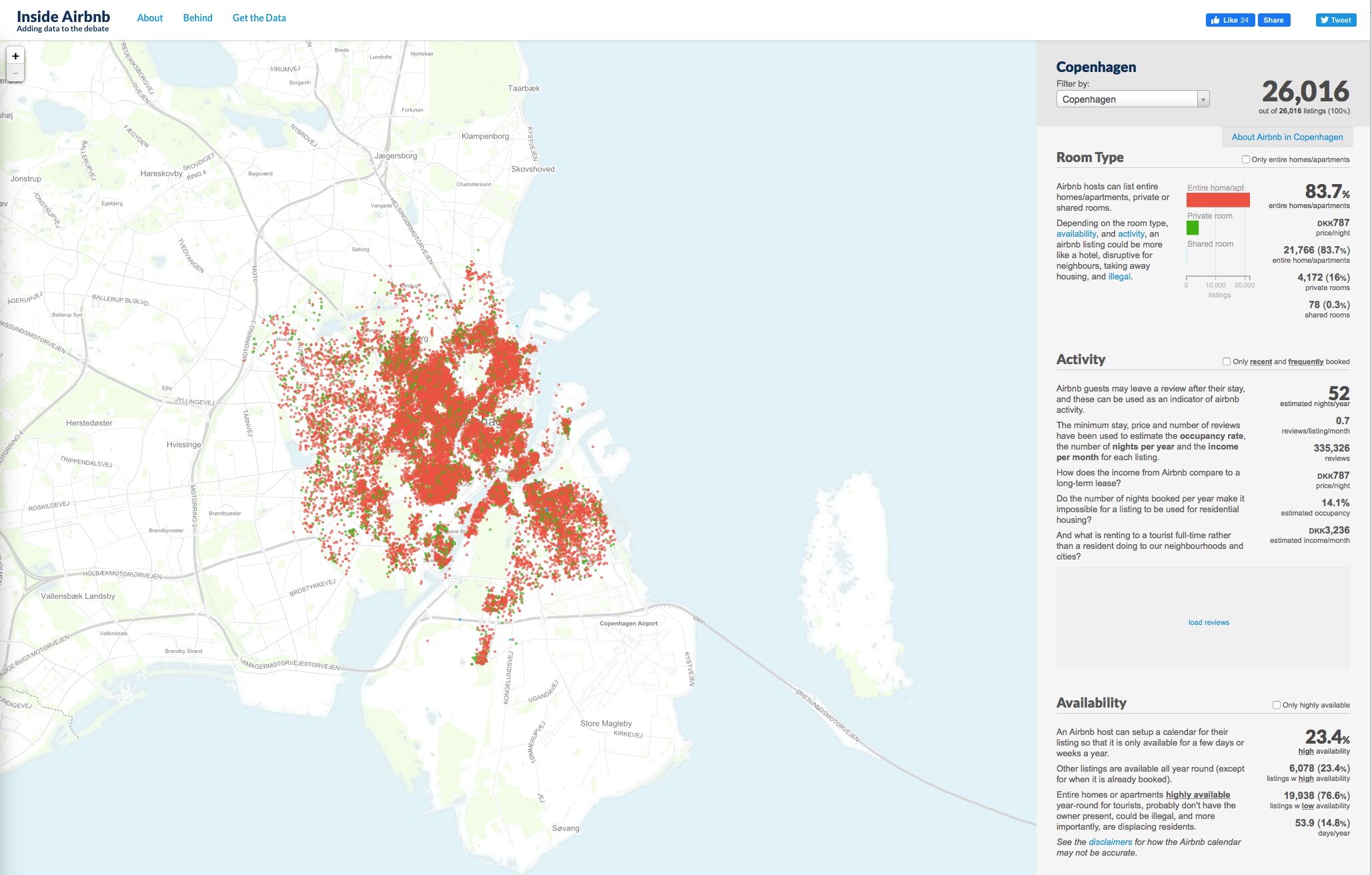
Exact figures for the number of tourists staying in Airbnb is difficult to find on line although one site came up with a map showing 26,016 properties in the city that were listed at the end of last month.

That number surprised even me.

Just 4,712 of those listings are for a room in someone's home - of course the original idea behind Airbnb - and 21,766 are for renting the whole home - houses or apartments.

It seems to be impossible to work out exactly how many tourists are staying in Airbnb properties at any one time and Airbnb is no longer the only player in the business. It is also clear that owners and certainly Airbnb themselves have absolutely no idea how many people will actually occupy a place … just the number of beds advertised.

Some of these properties are owned by someone travelling or working away for a fixed time and letting a property to someone to take care of it and bring in a modest income and that is fine but exactly how many of those properties registered with Airbnb are owned commercially simply to exploit what, for now, looks like good returns from short-term rental income? How many long weekends brings in the equivalent of 12 months rent?

The reality is that all, apart from rooms let by an owner in their own home, are homes that should be for permanent residents of the city but are no longer available for long-term rent or to own. By a rough calculation those 21,000 properties could be homes for 30,000 people or maybe more …. about the same number of people that should be housed in Lynetteholm …. the island that will be reclaimed from the sea at considerable expense for new housing and new jobs. Seems sort of crazy.

For three years I lived in an apartment block where there were 16 Airbnb lets around the courtyard. Many people came, stayed, went without a problem. Often the only obvious nuisance was the sound of travel-case wheels being dragged over the cobbles in the early morning or in the evening as people headed out to the metro for the airport … you can tell which wheelie bags are incoming Airbnb just from the noise because they stop at regular intervals to consult a phone map or the app with details of how and where to get the key. Is there no such thing as quiet wheels for rough surfaces and what happened to the days when people packed just what they could carry on their back?

But there were also bad weekends such as the one when two separate groups, with balconies on either side of the street and just a few metres along from my bedroom window, decided it would be fun to share and exchange music by blaring it out turn by turn across the street from their separate all-night parties.

And I now live in a building with just four apartments and only one of those is listed on Airbnb and, thankfully, that is the smallest in the block and let infrequently. But next door the building has three large apartments and all three seem to be let short term and I can tell you that, although with lockdown tourists may be rare, owners are now finding new ways to bring in income and, over the last six weekends, four have had all-night parties and by all night I mean all night with one cove, drunk or stoned or both, still shouting obscenities and witticisms to anyone and everyone walking past until 6am from a balcony that is just 2 metres from my bedroom window. This last weekend was the worst with very loud parties on Friday, Saturday and Sunday and with none of them starting until midnight. And by loud I mean very with women screaming for what sounded like a competition and I'm someone who can and does sleep on any train or bus or deck of a ship … the person who, notoriously, muttered and turned over and snuggled up to the warm funnel of the ship (not a euphemism) and slept through a volcano erupting with everyone on the ship up on deck to watch and ooh and ahh at an amazing spectacle where I was there but wasn’t.

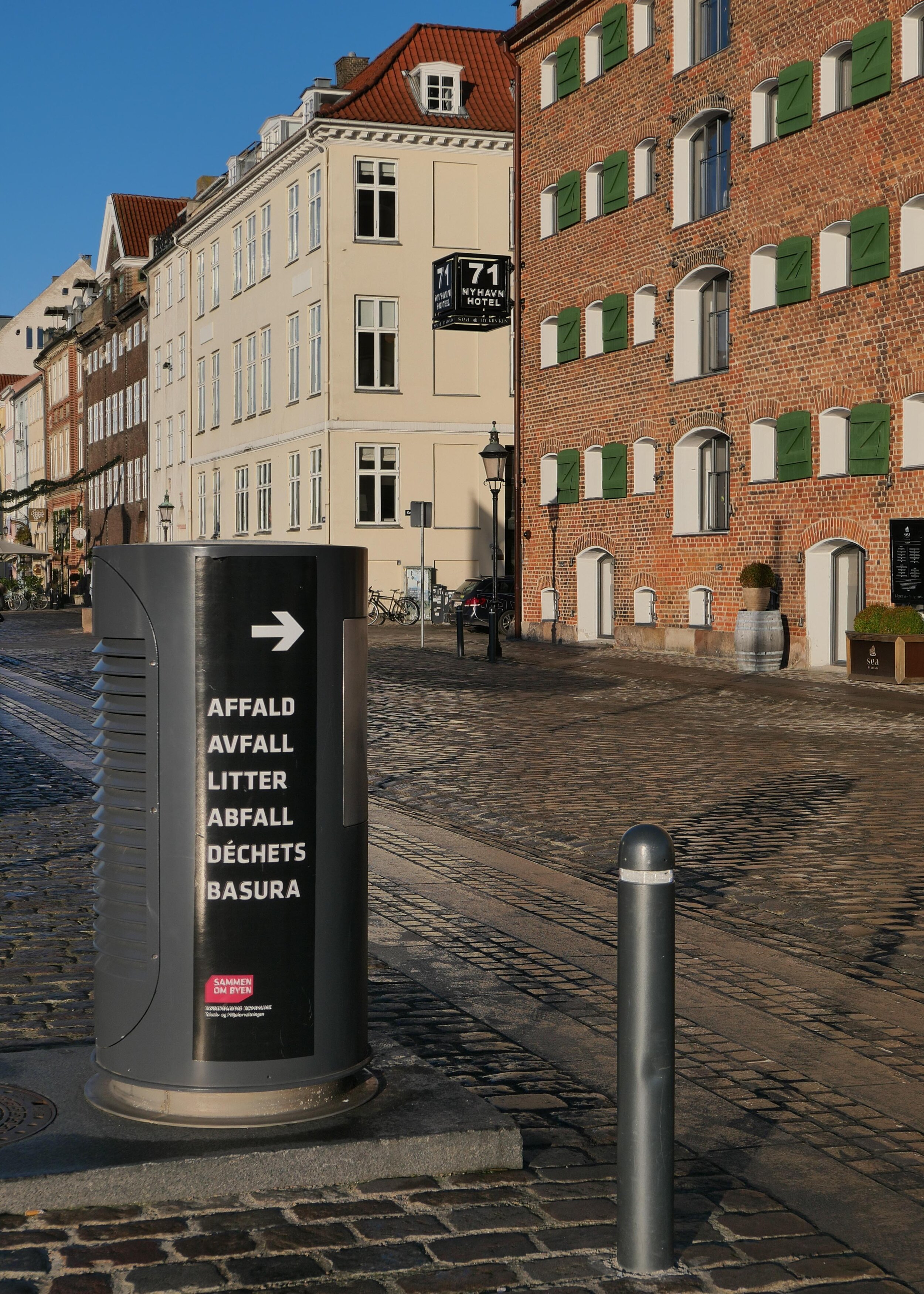
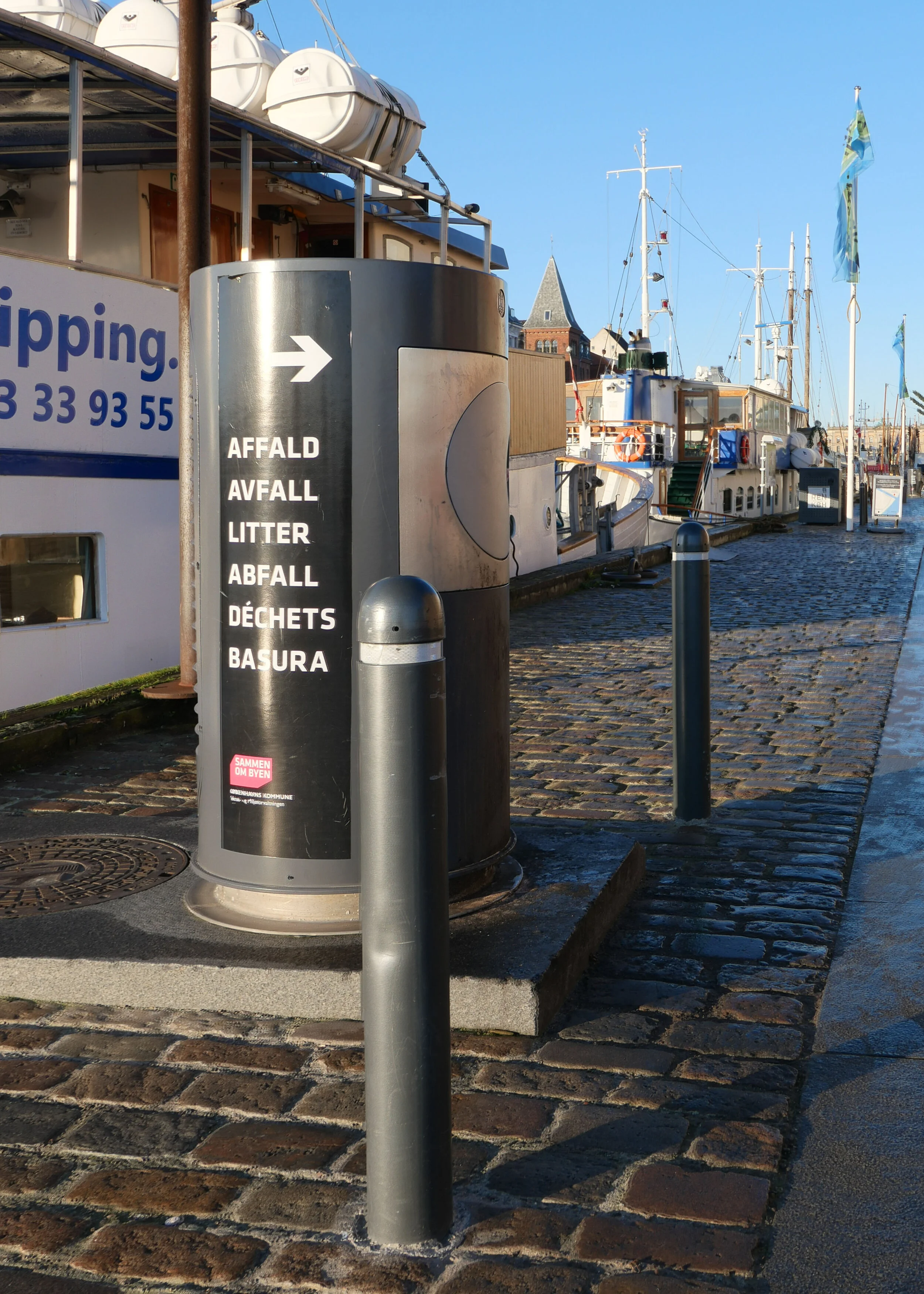
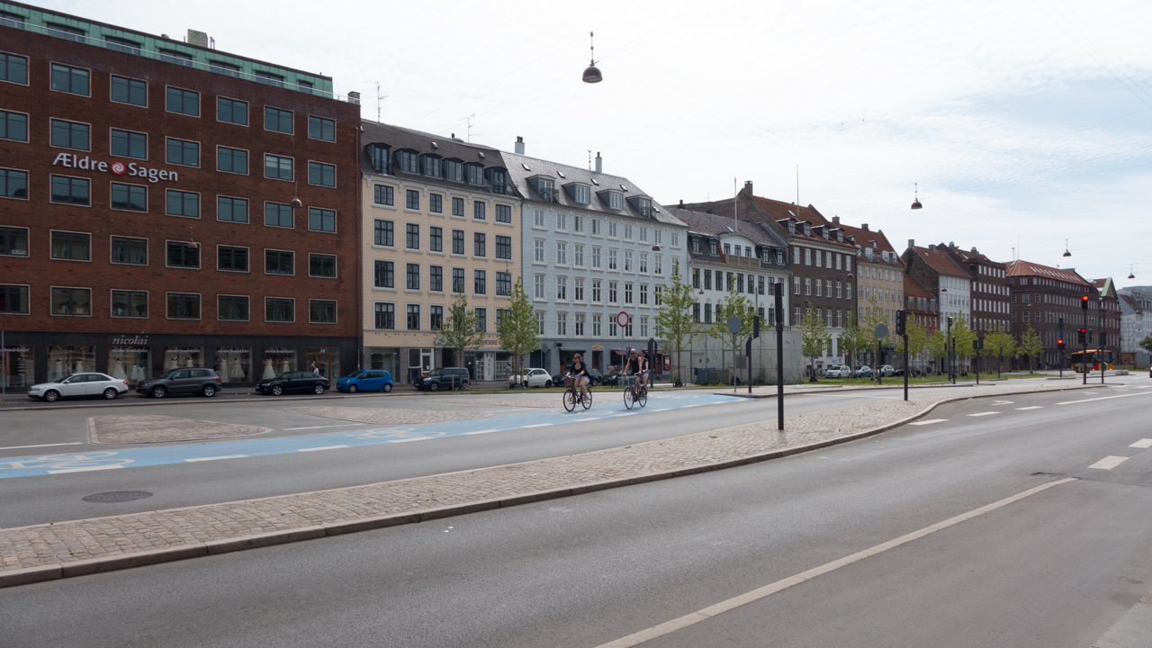
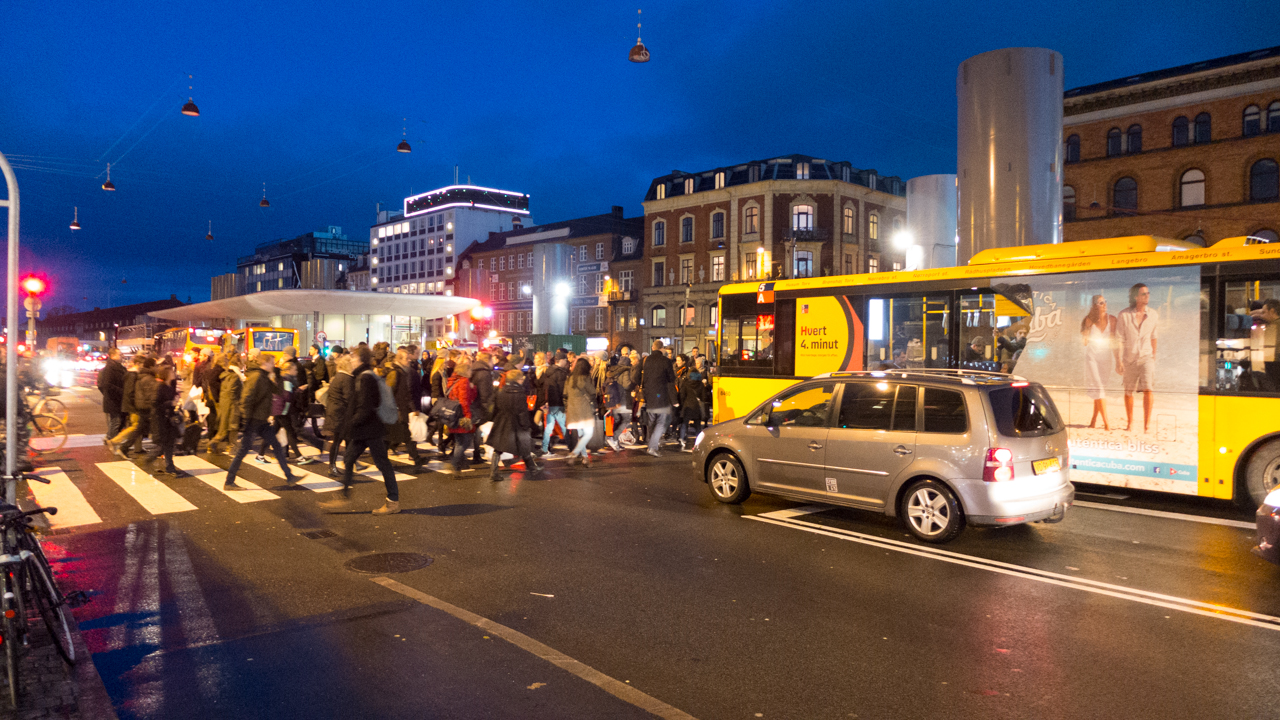
Hotels, cruise ships and Airbnb bring huge numbers of people to a relatively small and densely-packed city and that is becoming more and more of a problem.

One of the major and most positive things about Copenhagen, among many positive things, is that, unlike so many cities, people do live right in the centre. The more Airbnb in the city, the less people living here. The more tourists the fewer butchers and bakers and candlestick makers and the more burger bars and tourist tat.

Most visitors want to see and tick off the same few things and, although the city council have talked about trying to encourage visitors to go out to a wider area of the city, I'm not sure how you get that across and particularly to the cruise-ship brigade who do a quick dash in on coaches to look at the shops and buy an ice cream and to tick off that list but also to complain about just how small and disappointing the Little Mermaid looks “in real life” as if either a small statue or a cruise could ever be described as real life.

In the first stage of opening the borders from lockdown, visitors from Germany, Norway and Iceland will be able to enter Denmark but what is interesting is that they can visit the city but not stay overnight and to enter Denmark they will have to have confirmed bookings for at least 6 nights outside the capital. Apparently that will remain in force until the end of August. It’s a short-term measure but could provide important information about how much it is possible to manage tourism without killing it.

Obviously, tourists bring money in and jobs are created but is there a full and independent audit of how much visitors spend? And a tally of how much profit is exported to international investors; how many jobs are real so good, permanent jobs for local people and how many jobs are temporary and taken by workers from other countries who themselves have to be housed within the city.

I'm a newcomer and I can certainly confirm that people here are welcoming and are very proud of their city and the life-style is very good - as proved by all those life-style surveys - but, curiously, few tourists seem to appreciate that that life style is actually about family life and facilities for schools and libraries and quiet parks and street corners with communally owned picnic tables in communal courtyard gardens that tourists never see but, if the numbers increase, tourists could so easily overwhelm all that.

from the ridiculous to the sublime?
Oh OK maybe the city can be too quiet.

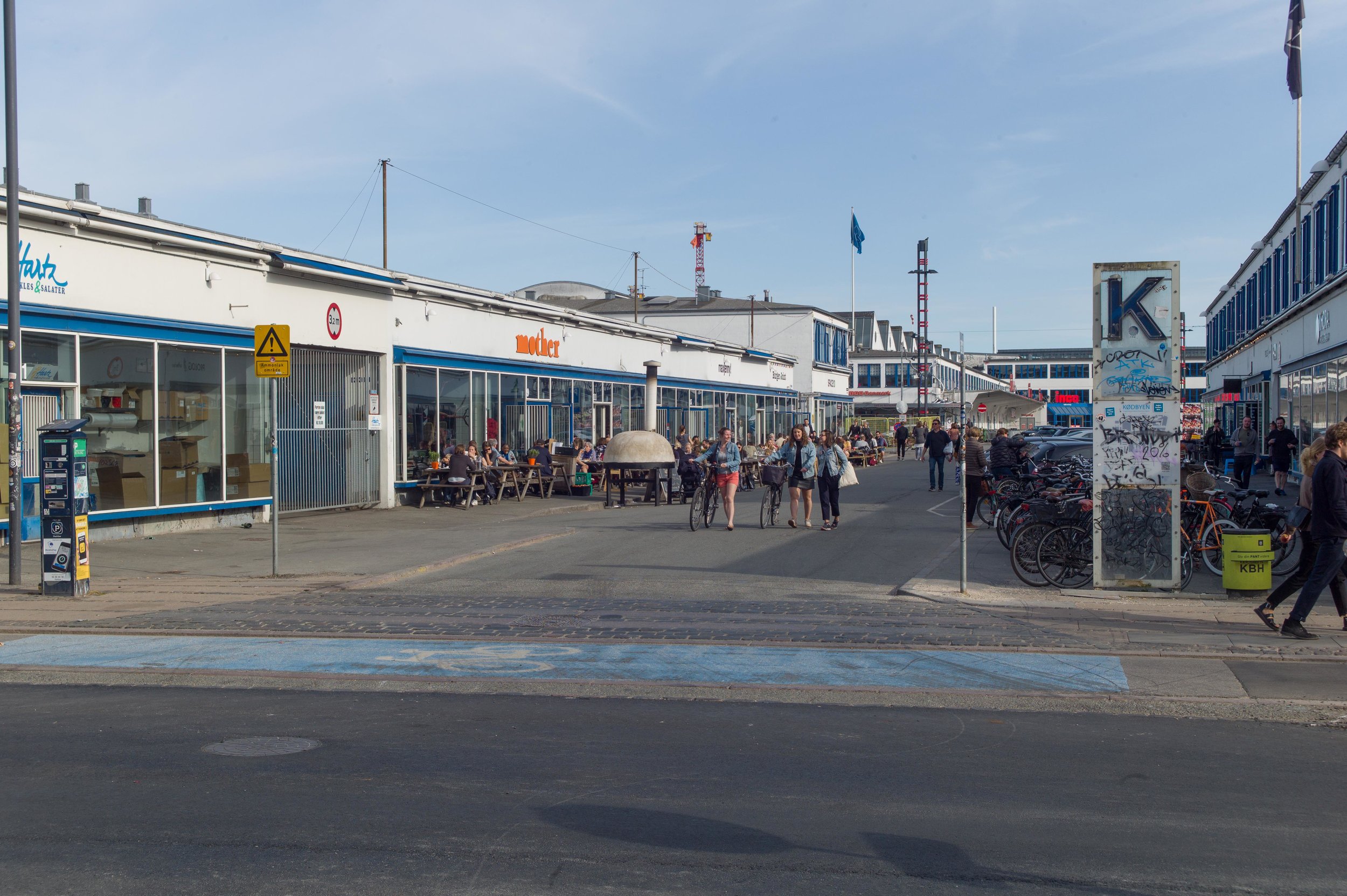
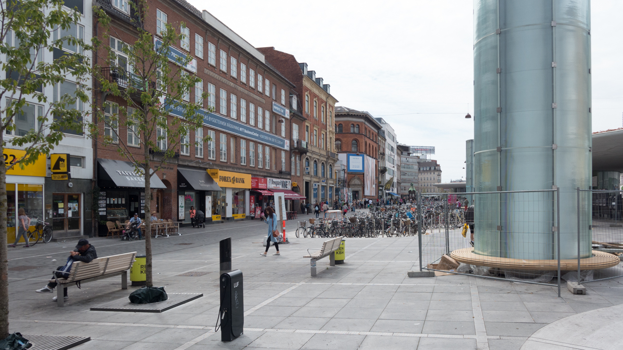
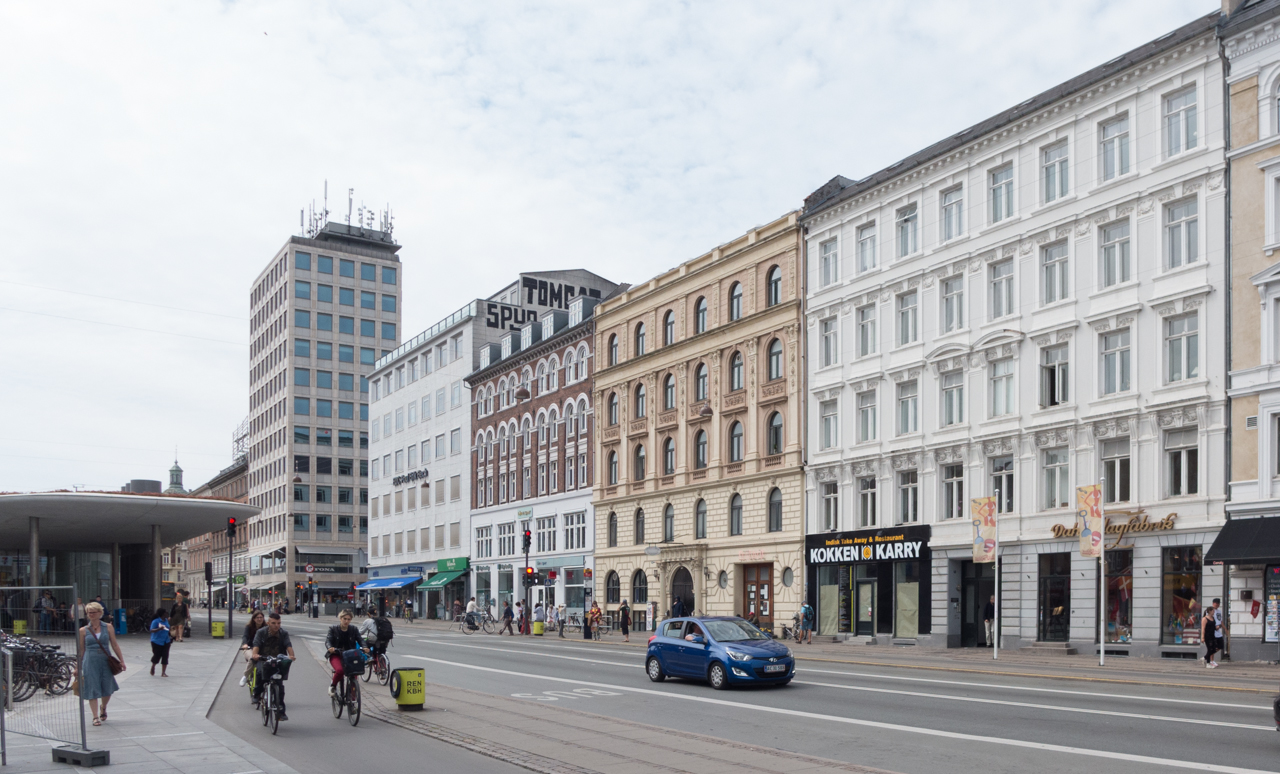
Like most people who live in the city, I avoid Strøget - the Walking Street that is now more like Crowded and Frustrating Amble Street than strolling street - and at the west end, with few exceptions, it is filled with shops which seem to be aimed at visitors rather than locals.

The lockdown has meant that people in the city realise just what it is like to have quiet streets and the city to themselves. The novelty will probably wear off if it turns out that restaurants and shops cannot survive from local customers alone but it is time to reconsider just how much tourism is good for Copenhagen. It's not as bad here as Barcelona or Venice or Prague but, once it becomes as bad as Barcelona or Venice or Prague, then it will be much, much more difficult to back track.

note:
In 2018 OECD published figures for tourism in Denmark in their report
OECD Tourism Trends and Policies 2018


waste collection on Nyhavn

The photograph of rubbish piled around a street bin - posted with a quotation from Paul Mazur on Black Friday - was actually taken on the morning of Black Friday.

I had planned to post the quote because it seemed appropriate for this odd day that was contrived by marketing men in the States to make people spend. It’s the day after Thanksgiving - that public holiday when you spend time with families rather than spend money shopping - so presumably Black Friday is the bargain sale to hook you back into spending, just in case you forgot how spend having just had a day off. Is the message here that if you buy something you don't need then at least buy it at a knock-down price? Or maybe if you don't actually need it then by offering it at a sale price you might be persuaded to change your mind.

Anyway, I was heading out to take a photograph at the recycle centre on Amager - to go with the quote - but then there was this on the quay right outside my front door.

Everything had been abandoned - including a large and fairly new suitcase along with a good small metal case and various pictures in frames - so it looked as if someone is moving on from one of the apartments around here and what they were not taking with them had been dumped on the pavement sometime during the night. At least it gave me as good an image as any to represent our throw-away society.

Nyhavn, or New Harbour, was constructed in the 1670s for ships to load and unload goods. Over 400 metres long and 28 metres wide - it runs back from the main open harbour to the large public square of Kongens Nytorv

In any case, the bin system here is of interest and I had been thinking about a post for some time. It might look like an ordinary street bin but it's one of a line of bins along the quay that are the above-ground part of a sophisticated waste system from ENVAC.

When rubbish is dropped in, it doesn't go into a basket or inner bin that has to be emptied but it drops down into a buried pipe that is 500 mm in diameter and when the bin is full, triggered bt a level sensor, the waste is drawn through by vacuum to a service access point set down into the road at the end of the quay.

Nyhavn has large city blocks running back from the harbour on either side and is one of the most densely built up parts of the city with tightly-packed back buildings and small courtyards with homes and offices behind the street frontages. Not only is there little space for large modern waste bins in these yards but there is also a problem getting to the courtyards to empty any bins to take away waste. The quay, on this the north side of Nyhavn, was pedestrianised in the 1980s and although there is access for deliveries, the quay is normally thronged with tourists and there are around thirty restaurants just along this side and most of them have umbrellas and chairs and tables outside that are tightly packed together and most are there year round, so getting through to the archways, to get into and out of the courtyards, is difficult.

The only clue that the bins might not be ordinary street bins is the size - large for a street bin - and the slightly unusual port-hole style door but, presumably, very few tourists stop to wonder why.

They are 1.36 metres high and just over 70cm in diameter and are designed to take all the household waste from the apartments above the restaurants and from the apartments in the inner courtyard buildings - so some 150 apartments in total. That waste is dropped in through the small round hatch. For commercial waste - from the restaurants and bars - they have keys to open the full square opening to put in larger bags of rubbish and packaging.

Designed by Erik Brandt Dam and installed in May 2012 - when the system was upgraded - there are eight large waste bins along the quay - along the 760 metres from Kongens Nytorv to the harbour - with eight smaller bins at intermediate intervals for street litter. These smaller bins look more like traditional street bins, with narrow slots for rubbish on each side, but they also drop their contents down into the system.

The Nyhavn waste system, with sixteen bins and the service point down at the theatre end of the quay, deals with 60 tonnes of waste a week.

bins for the new ENVAC waste system in the Bella Quarter in Copenhagen

The advantage is that the waste is dealt with quickly and cleanly and few people are disturbed when the system is emptied but one drawback is that there is less incentive, with this Nyhavn set up, for people to sort their rubbish for recycling. On the quay, there is now one large standard recycle bin for glass, tucked away round a corner, close to the Theatre, down near the main harbour, but otherwise plastic, paper and cardboard, metal and batteries have to be taken to recycle points several blocks away - the nearest are on the other side of the harbour - or people will put everything through the ENVAC system to end at the incinerator.

A decade ago this system was seen as cutting-edge for waste disposal - good because waste was not going to landfill but to a district incinerator as fuel for the generation of hot water for the district heating system - but for new residential areas in Copenhagen there is now an opportunity to build in more ambitious waste collection systems.

In a new development in Ørestad - for the courtyards and pedestrian streets in the Bella Quarter - ENVAC are installing a waste system where there are not single bins but five separate bins at each waste collection point and each marked for separate and different waste to be recycled so residents can sort out waste quickly and easily - just outside their apartment. Then, as with the Nyhavn set up, it is drawn by vacuum to a service point where it is collected for processing.

This keeps the area close to homes free of smells and free of the lorries that take away the waste. According to the company web site, the system can daw rubbish through a distance up to 2 kilometres.

Another problem in Nyhavn is that restaurant staff, for understandable reasons, tired and at the end of a long work shift, drag out rubbish and force it down through the hatch so the bins do get blocked. It triggers a sort of waste indigestion with lots of weird noises coming up from underground.

Restaurants should use smaller rubbish bags but that would mean more trips between the kitchen and the bin.

Some people fail to realise that underground, just below the bin, the vertical drop has to take the waste through a right angle to go into the horizontal pipe that runs along to the service point so I have seen some ridiculously long and inflexible things being forced through the hatch and then the service team have to come out and sort out the blockage. It was only recently that I realised that they can control the pumps for the pneumatics remotely from the van … so clear a bit … suck a bit … repack a bit …. suck a bit until the blockage is cleared. In Danish the vacuum system is called affaldssug and Google translates this rather literally as ‘waste sucks’ ….. a good motto for any movement lobbying against conspicuous consumption.

ENVAC


Den Hvide Kødby Lokalplan nr. 562 / The White Meat City - Local Plan - report 562

the Local Plan covers both the White and the Grey markets ... this is the boundary between the Brown Market to the left and the Grey Market to the right


select the image of the cover above and this is a link to a pdf file of the report published on line by the city

the oldest part of the meat market is Denbrone Kødby that was built out over what had been the foreshore with a new quay for ships beyond that marks approximately the line of the present railway as it approaches the main station from Roskilde


At the end of June a local plan - number 562 - was published by the city for Den Hvide Kødby /  the White Meat City district of Copenhagen. 

This is the west part of a large area of market buildings and slaughter houses that developed here from 1879 onwards when the meat market was moved from a site further north, closer to the lakes.

The market, sometimes referred to now as the Meat District, is west of the present central railway station and immediately south of a long open public space called Halmtorvet that continues on west into Sønder Boulevard and forms the north boundary of the site. 

Den Brune Kødby, the Brown Meat market, was the first part of the market to be built and is in brick. The buildings to its west - sometimes referred to as Den Grå Kødby or the Grey Market and included in this plan - were extensive additions to the market from around 1900 in grey or white brick and Den Hvide Kødby or White Meat City - primarily low and mainly flat-roofed buildings in concrete with white facades was a large addition to the meat market dating from the 1930s. 

In part because these are essentially industrial buildings but also because of the clean simple outlines with no decoration, then, in terms of style, this part of the market built in the 1930s is generally described as an important example of Functionalist architecture.

Note that the popular reference to the east part as the Brown Meat market only emerged after the construction of the additions of the 1930s - to distinguish the different parts the names refer to the colour of the buildings and not to the colour of the meat.

The area is owned by the city and this is certainly important for the long-term conservation of this area and for appropriate controls on detrimental development .

Changes to the market began around 2005 as meat processing here - from the sale of animals and their slaughter and on to finished meat preparation before selling on to shops and commercial buyers - declined. It is still an important part of the day-to-day life of the area but creative industries and restaurants and cafes began to move in alongside the whole-sale food markets and as new neighbours for the meat traders.

The plan acknowledges this:

"The local plan area together with Den Brune Kødby has a special atmosphere and authenticity with business, cultural and school and leisure activities in conjunction with the original food-producing wholesale businesses. Market functions, galleries, bars and musicals help create city life 24 hours a day."

The local plan for the brown market (Lokalplan / Local Plan 262) was produced at the end of 1995 and updated in June 2005. These plans should be read alongside the City of Copenhagen Municipal Plan published in 2015.

In 2014 a planning decision was made to allow the building of some homes on part of the site … up to 25% by area but mostly on upper floors. In 2017 there was a first official proposal to build a new school on land at the south corner and both will mean the demolition of some existing buildings.

This local plan tries to quantify these changes and it indicates that the commercial wholesale food markets and food businesses will be 40% of the usage but the plan specifically acknowledges the potential that the other buildings have for small craft-based industries.


during the summer there are  weekend food markets with stalls set out around the main square


The area is surrounded by parts of the city that are themselves undergoing major re-development with changes or new building on former brown-field sights so a coherent policy statement and a long-term plan for the meat markets was required: any plans for the White Meat market also has to be seen in close relationship to developments on the other side of the railway along, Kalvebod Brygge; radical changes along the north side of the area with work on Halmtorvet and along Sønder Boulevard and long-term changes that will come to this part of the city with the opening of a new line of the metro next year. It was construction work for the metro that was the reason why the central part of Sønder Boulevard for the full length of the street was behind massive green fences for years as engineering works for the new line were completed.

The published plan has extensive maps that identify the historic buildings and the text describes briefly how the different areas and structures were changed or adapted as their use has changed.

An important part of the discussion is about how the squares and open spaces and the roads and paths through the area are laid out and how they are used now and then suggests how they can be improved.

This is because the plan has to be integrated with what are, in some cases, competing access requirements for transport into and through the area … so there will be new bike parking at Dybbølsbro - the railway station to the south - bike routes that are cutting through the area have to be considered - so people coming from one place outside the area and going to somewhere outside - and the requirements for safe road systems around the school. There will be tight and necessary restrictions to protect the new metro line tunnels so weight limits for commercial traffic and very clear controls on nearby excavations for new buildings or underground services.

It is implied that demolition of some buildings within the area may be allowed for what is considered to be appropriate new buildings so overuse and density of use might become more of an issue … part of the attraction of the area is that it is often empty of people and is an amazing place to explore but that is difficult to maintain or justify in terms of sustainability. There could be a problem with overshadowing and sight lines through and out of the area being compromised by new buildings immediately outside the area. The present sense of large and open spaces are crucial to the character of the area and a serious mistake is being made now with the overdevelopment of the Carlsberg site, where important historic industrial buildings have been swamped by new development, and that should not be repeated here.

The report spotlights issues about dealing with potential pollution on land that had heavy industrial use - there was a gas works here and a large cooling plant using large quantities of ammonia - and there will be ongoing problems with bringing more people and a school into an area that is used for industrial processes that means some heavy commercial traffic.

There are very clear recommendations for controls for a wider area that is primarily domestic but with social and entertainment uses so premises here can be shops and cafes but not banks or estate agents.

The implication is that if an existing building is demolished then the new building must be of the same overall height and number of floors above ground and have the same roof form and have similar facing materials.

There are some general points about the protection and conservation of important historic buildings that apply throughout the historic city but this report also points out problems specific to this district so roofs can be green - sown with moss and so on - but not with gardens or living spaces and roof-top service features like ventilation and lift turrets will generally not be allowed to maintain an appropriate silhouette or outline for the buildings in the west part that gain much of their character from having flat roofs.

Existing trees, several of which are what are called specimen examples, will be preserved but there are suggestions for planting new trees. For the city as a whole this is clearly a good policy but in this part of the city it was and still is a working area that has practical and often stark urban features and there is a problem if planting, however desirable from an ecological point of view, could make the streetscape here softer and more domesticated and polite than it has ever been.

The plan recommends keeping original windows and original glazed doors - in part because of the intrinsic high quality of some of these fittings - that should mean a long potential period of use - but also recommends keeping original glass for the quality of the light and the quality of the external appearance that is rarely matched by modern industrially-produced glass.

When discussing architecture in terms of style, or even when setting out the history of a complicated group of buildings like this, it is much too easy to describe a design as say Functionalism without then actually considering what that means. The meat markets were essentially an amazing and highly efficient factory system so if you want to understand why these buildings were designed and built in this particular form then look at the film made of the working market in 1936 but be warned that it is not a film to watch if you don't like to think about what happened to your meat before it went into the plastic tray for the supermarket. The film also raises interesting questions about architecture used to create an impression that wasn't true in its reality - so here Functionalist architecture implying clean, hygienic and efficient design for a process that was far from that. How can a local conservation plan limit the extent to which any important historic building becomes sanitised and divorced from its original function ... the very reasons it was built like that and looks like that? 

Strategy for Den Hvide Kødby
Den Hvide Kødby - Lokalplan Nr.562
history and old photographs
film of the market in 1936

select any image and the photographs will open in a high-resolution slide show


note:

People from other cities and other countries will easily and quickly understand planning policies that talk about creating a green city but it is fascinating that in Copenhagen the planning policies now talk automatically about developing a green and blue city. Open water is now seen as a very positive resource in an urban landscape. If you live in Copenhagen that is hardly surprising … the removal of pollution from the harbour - so people can and do swim anywhere - the long beach front of Amager and Hellerup and now Nordhavn have all been and are continuing to be much appreciated as a public asset and the lakes on the west side of the city are really important in terms of their ecology, in terms of their visual contribution to the streetscape and as a place to walk and relax and socialise so it is hardly surprising that water is now included in all planning assessments but of course this also tallies with the need for detailed planning to cope with climate change and cope with storm rain that often means the construction of new urban water features. Here, in this local plan for the meat markets, controls are outlined for protecting services and plant in buildings if there is a storm and drainage will have to be designed so that in the event of a major storm - often described as a once in a hundred years storm - then the surface water of any flood should be less than 10cm deep.

From Infrastructure to Public Space*


Dronning Louises Bro in the evening from the city side


Our Urban Living Room, is an exhibition at the Danish Architecture Centre about the work of the Copenhagen architectural studio COBE with a book of the same title published to coincide with the exhibition, and both are subtitled Learning from Copenhagen.

A general theme that runs through the exhibition is about the importance of understanding a city as a complex man-made environment to show how good planning and the construction of good buildings, with the support of citizens, can create better public spaces that improve and enhance our lives.

One graphic in the exhibition, in a section about infrastructure, shows Dronning Louises Bro (Queen Louise’s Bridge) as the lanes of traffic were divided in the 1980s and compares that with how the space of the road is now organised. 

The stone bridge, in its present form dating from the late 19th century, crosses an arc of large lakes on the west side of the city centre and is the main way into the centre of Copenhagen from the north so many people have to cross the lakes on their commute into the city in the morning and then again in the evening as they head home. In the 1980s vehicles were given priority with 6 lanes for traffic - two lanes of cars in each direction and in the centre a tram lane in bound and a tram lane heading out - so the pavements on each side were just 3 metres wide and cyclists had to compete for space with cars.   

Now, the width of the lanes given over to vehicles has been narrowed down to just 7 metres in the middle for a single lane for driving into the city and a single lane heading out but on each side there are dedicated bike lanes that are each 4 metres wide and then generous pavements that are 5 metres wide on each side of the bridge for pedestrians. So the space for cars and the space for pedestrians and cyclists has been swapped around. The bridge is just as busy - if not busier - with an almost-unbelievable 36,000 or more cyclists crossing each day and the pavements are actually a popular place for people to meet up … particularly in the summer when the north side of the bridge catches the evening sun so people sit on the parapet or sit on the pavement, leaning back against the warm stonework, legs stretched out, to sunbathe, chat or have a drink.


graphic showing changes made to the width of the traffic lanes over the bridge ... taken from an information panel for the exhibition Our Urban Living Room at the Danish Architecture Centre

the bridge looking towards the Søtorv apartments on the city side

even in November there can be enough sun so that it is warm enough to sit and wait or sit and chat


How many people crossing the bridge realise just how many dramatic changes to the city are reflected in the history of the bridge itself? Until the late 19th century what is now the inner city was still surrounded by the high banks of the city defences and there were few buildings in the area between the outer ditch and the lakes - so across what is now Nørreport railway station, Israels Plads and the wide streets of apartment buildings beyond was open land. In fact the lakes were irregular in shape and there in part as an outer defence and in part as a source of ‘fresh’ drinking water for the city. The stone edges and wide gravel paths around the lake, now a popular place to walk, date only from work of 1928.


the well known painting of the lakes in the early 19th century by the Danish artist Christen Købke and now in the collection of Statens Museum for Kunst - the National Gallery in Copenhagen


There was a bridge over the lakes at this point from the 16th century onwards but it was only when the city defences were demolished about 1870 and blocks of apartments were built between the lakes and the site of the old north gate - hence the name Nørreport for the railway station - that a new bridge was commissioned that opened in 1887. 

An even grander bridge had been proposed but that scheme was abandoned although this important approach to the city was part of some very ambitious planning. Søtorv - four enormous apartment buildings on the city side of the bridge were designed in the style of French chateaux with a total frontage towards the lakes of 240 metres and in the green areas on either side of the bridge, on the city side, are statue groups - the figure of the Tiber on one side and the Nile on the other - so pretty grand aspirations and pretty grand planning from the worthy citizens ….. even by modern standards. At the centre of the new wide streets and squares and blocks of apartments built after 1870 was a large open square that was a food market so presumably in part the bridge was that wide because it was seen as one main way into the city each day for produce for the market. 

The market? Now the incredibly popular food halls of Torvehallerne and Israels Plads … the square that is another area recently transformed by COBE.


the lake, Søtorv and the bridge from the north in the late evening


* the title of this post is a section heading from the exhibition Our Urban Living Room and a chapter heading in the catalogue


P-Hus Lüders - Parking House Lüders - Nordhavn Copenhagen


Copenhagen is the city of bikes. There are said to be more bikes than people … five bikes for every four people … and the statistics are mind boggling. Each day people in the city cycle 1.27 million kilometres. I’m not sure how that was calculated but if it was organised as a relay race it would be the equivalent of team Copenhagen riding around the World 1,000 times EVERY DAY.

There are five times more bikes than cars in the city but of course that doesn’t mean that there are no cars in Copenhagen … you can pile all your shopping plus all the kids and an elderly relative onto a cargo bike without any problems but how else could you get that lot out to the summerhouse without a car?

So for maybe 20 years, with many of the new apartment buildings constructed along the harbour and around the city, a common solution is to excavate first and build underground parking below the block.

The other planning imperative in the city is for open space where children can play and adults exercise … despite all that cycling an amazing number in the city run and then insist on adding a few pull ups and squats. This means that many larger apartment buildings have a courtyard with play or exercise equipment or apartment buildings are set around a public square or open space with play and exercise equipment. This seems to resolve several problems. Apartments in Copenhagen are generally larger than in cities like London or New York or Hong Kong - many are over 100 square metres and some over 200 - but even with balconies that does not stop people getting stir crazy and needing open space but also, of course, attractive space, used in a practical way, means that public space is appreciated and well used public space is much less likely to be vandalised.

In the new development in Nordhavn a slightly different approach to the problem of parking cars and getting exercise is being tried. The density of housing that is being built on former dock yards is higher than that of many recent developments and presumably excavation of deep car parks, on what has only been solid land reclaimed from the sea about 100 years ago, would be a challenge so here at Helsinkigade the solution is to build a large well-equipped public square and then hoik it up into the air by 24 metres and slip a multi-storey car park underneath.


model for the extensive new development around Århusgade in Nordhavn that is currently part of the exhibition at the Danish Architecture Centre on the work of the architectural studio of COBE. P-Hus Lüders is at the centre of the three buildings - on the far side of the canal - with the pronounced angle of the east end following the alignment of the canal. There are apartment buildings on either side and shows clearly the proximity of the Silo - just to the right - to the north - but set further back and there is the distinct shape of the two giant cylinders of the former concrete silo to the left - to the south - and set back slightly from the wharf of the Nordhavn basin. 


A competition in 2013 for a design was won by jaja architects and the work was completed and opened in the Autumn of 2016.

It is a substantial building, roughly rectangular although the east end is set at an angle determined by a canal between the main area and an oddly angled island beyond to the east. Parking is accessed from the ground level with seven floors or decks of parking above. There is a massive circular ramp for cars is at the east end and rather than having separate ramps, for going up and coming down, this has two lanes together so like a road spiralling to the top. Space around the ramp is dramatic, open through the full height. There are places for bikes to be left here and there will be lockers where people can leave possessions while they exercise on the roof … yup this is for serious exercise.

Access to the roof is by long straight flights of steps with one staircase up the south side rising to a landing at the east end of the south side but with intermediate landings at each level. The north staircase actually starts on the east side of the building, by the entrance to the bike store, and then turns the north-east corner to continue up the north side and again with intermediate landings at each level and each landing with a door into a parking level.


the full run of the staircase that rises up the south side of the building to the north-east corner of the building ... one of two staircases that give access to the car decks and the roof

the east end of the south side of the car park (above) and the staircase with pierced panels of Corten steel and planters (below)

portrait of Ferdinand Lüders at the landing of the north staircase at the north-east corner of the building

detail of pierced holes in the sheets of Corten steel that face the building - there are doorways at each landing of the external staircases for access to the car decks


The most striking feature of the building itself is the metal cladding. For adequate ventilation much of the metal sheet is an open-weave grill but on the staircases there are large sheets of Corten steel 3mm thick pierced with 20mm holes - like pixels on a screened newspaper image - to form a montage of scenes and characters from the historic docks in a bold design by Rama Studios. Their web site has drawings of the whole design and good photographs of the Corten panels as they were fixed into position as work on the building progressed.

The steel has the normal deep rust-red colour of Corten and this is picked up not just by the red metalwork of the exercise and gym equipment and the handrail of the staircases but also in red concrete for the steps of the staircases and large red planters on the side of the building at various levels that presumably will hold trailing plants.

The building is named after Ferdinand Lüders who came from from Odense and was a naval officer who trained as a mechanical engineer. He was an inspector of naval dockyards before being employed in Copenhagen from 1860 to build docks and wharves and was promoted to “harbour captain” or master of the port. The road was called Lüdersvej until 2013 when it was renamed Helsinkigade.


On the roof there is fixed equipment for a cross training gym and a sprint course as well as areas for ball games although the fencing is relatively low so if play gets a bit over enthusiastic then it’s a long way down and back to retrieve a ball.

For children there are swings and trampolines, climbing ropes and at the centre an amazing spiral rope walk. The surface is soft and in shades of red with red painted metalwork for all the equipment and the red is taken down the building as the colour for the handrails of the staircases.

From the roof there are incredible views across the city to the south and west, to the northern area of Nordhavn and the terminal for cruise ships and across the harbour and the sound to the east.


Konditaget Lüders
jaja architects
Rama Studio


above: view from the roof of the car park across the harbour to Refshaleøen and the new incinerator on Amager
below: the view east towards the triangular fort that guarded the entrance to the harbour and beyond the sound and the Swedish coast


to the north of the car park some parts of the container port are still in operation. Beyond the crane is the large area of land where there is to be major development and just to the right of the crane are the distinct roofs of the buildings of the cruise ship terminal


Nørreport streetscape


In an earlier post I wrote about extensive improvements that have been made to the railway and metro station at Nørreport in Copenhagen.

As the final parts of that major scheme of rebuilding are completed, there is now a clear incentive to restore or improve the buildings that line Nørre Voldgade and form the streetscape or backdrop to the new paved area that covers the three blocks from Gothersgade to Linnésgade.

When the street was set out in its present form in the 1870s, it was described as a boulevard and formed a wide elegant boundary between the old city and the new streets and squares with their large new apartment buildings that were laid out between here and the lakes.

In 1917 when a new railway line was constructed to link the central railway station with Østerport station - then a terminal stop on the railway from the north - it was called the boulevard line. The tracks were sunk well below street level by excavating a deep cutting and were then covered over and the street and pavements reinstated. From the start, the station at Nørreport was underground with round pavilions at street level to give access to the platforms.

The area declined in the post-war period and some rebuilding and redevelopment was allowed that is of relatively poor design and many of the shops and offices on either side around the station became rather scruffy.

The present buildings would certainly be improved by a careful programme of repainting and by tidying up signs, lettering and advertising.

This is not to suggest that the area becomes neat and prim …. just that bold, simple, well-chosen colours provide a better background to the busy crowds of people and the often visually confusing hubbub of life here.

Extensive rebuilding of the metro station and the square at Kongens Nytorv and the new metro station in the square in front of the city hall are also close to completion and will, with Nørreport, provide three very different transport hubs and entry points into the centre of the city that correspond appropriately with the three historic gateways into the old city.

These three areas are very different in character: 

The large square in front of the city hall, on the site of the old west gate, is a major public space and the route into the city from the main central railway station cuts across the centre. Crowds of people working in the centre and visitors pass through the square and the nightlife of nearby Tivoli means that the neon signs and the commercial appearance of the square are lively and absolutely appropriate.

When the planting of the square is re-installed at Kongens Nytorv, just outside the old east gate, it will restore this grand square lined with important historic buildings - an important open green space - and reinstate it as a crucial a hub between the packed shopping area of the Walking Street, the tourist bustle of Nyhavn and the dignified grandeur of the new town around the royal palace.

Nørreport, although it will still be a major entrance into the city centre from the station, with new steps up from the platforms for an exit directly onto the main shopping street Købmagergade, it will also become the gateway to the major galleries and museums in this part of the city and to the botanic gardens and the attractions of Israels Plads and the food halls. 

This will re-establish what appears to have been the original intention from the 1870s that the boulevard would be Copenhagen’s version of the Opera Ring in Vienna. With careful restoration of the facades along Nørre Voldgade, the area will form the central part of an inner ring of galleries and public spaces running around the city from the 17th-century citadel through Østerport, to the National Gallery, to a new museum of earth science, the entrance to the King's Garden and Rosenborg, the main entrance to the botanic gardens and on to the south to the inner park of Ørstedsparken and then further to the city hall, past Tivoli, the Glyptotek, a new site for the Museum of Copenhagen and on back to the harbour and the National Library and a new building for the Danish Architecture Centre.