In terms of planning - both modern planning and the historic street plan - the new bridge is fascinating. The main bridge across the harbour until the 1950s - certainly in terms of traffic was Knippelsbro. There had been a bridge linking the historic centre of the city with Christianshavn in that location - give or take 20 metres - from the early 17th century.
Below, to the south of Knippelsbro, the harbour was actually much much wider than it is now, like a broad estuary although there had been long narrow timber bridges across linking the defences around the west side of the city with the fortifications around Christianshavn, so connecting Kalvebod Bastion on the city side to Rysensteen Bastion on the Amager side.
Through the late 19th and early 20th century, the banks on either side at this south end of the harbour were altered, with quays and wharves constructed on both sides, that narrowed the channel, and there were a series of more important bridges, including rail bridges, at this point.
As the defensive embankment around the city was removed - from the 1870s onwards - the water outside the embankment was filled in - apart from short sections that survive in the Tivoli gardens - and the new broad strip of newly drained and infilled land was built across with major new civic buildings including the city hall and the city hall square and on round towards the harbour - along what was then the new boulevard - were the Glyptotek and a number of city institutions so in the mid 1870s the bridge over the harbour was widened.
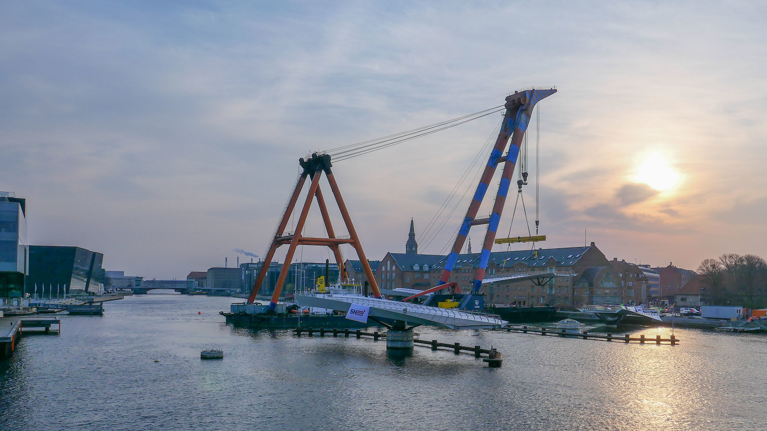
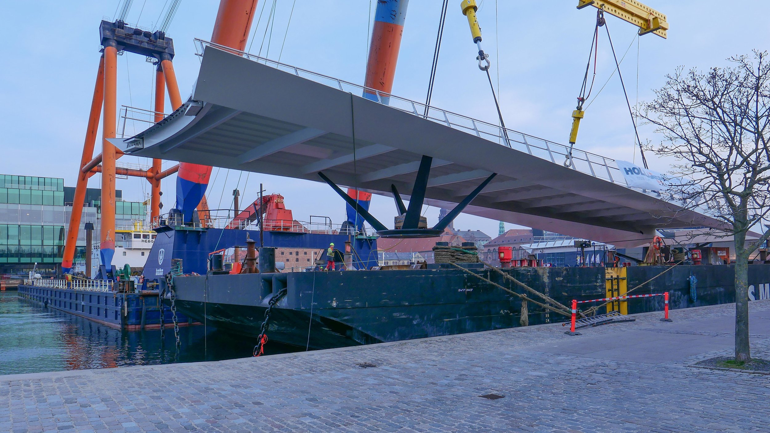
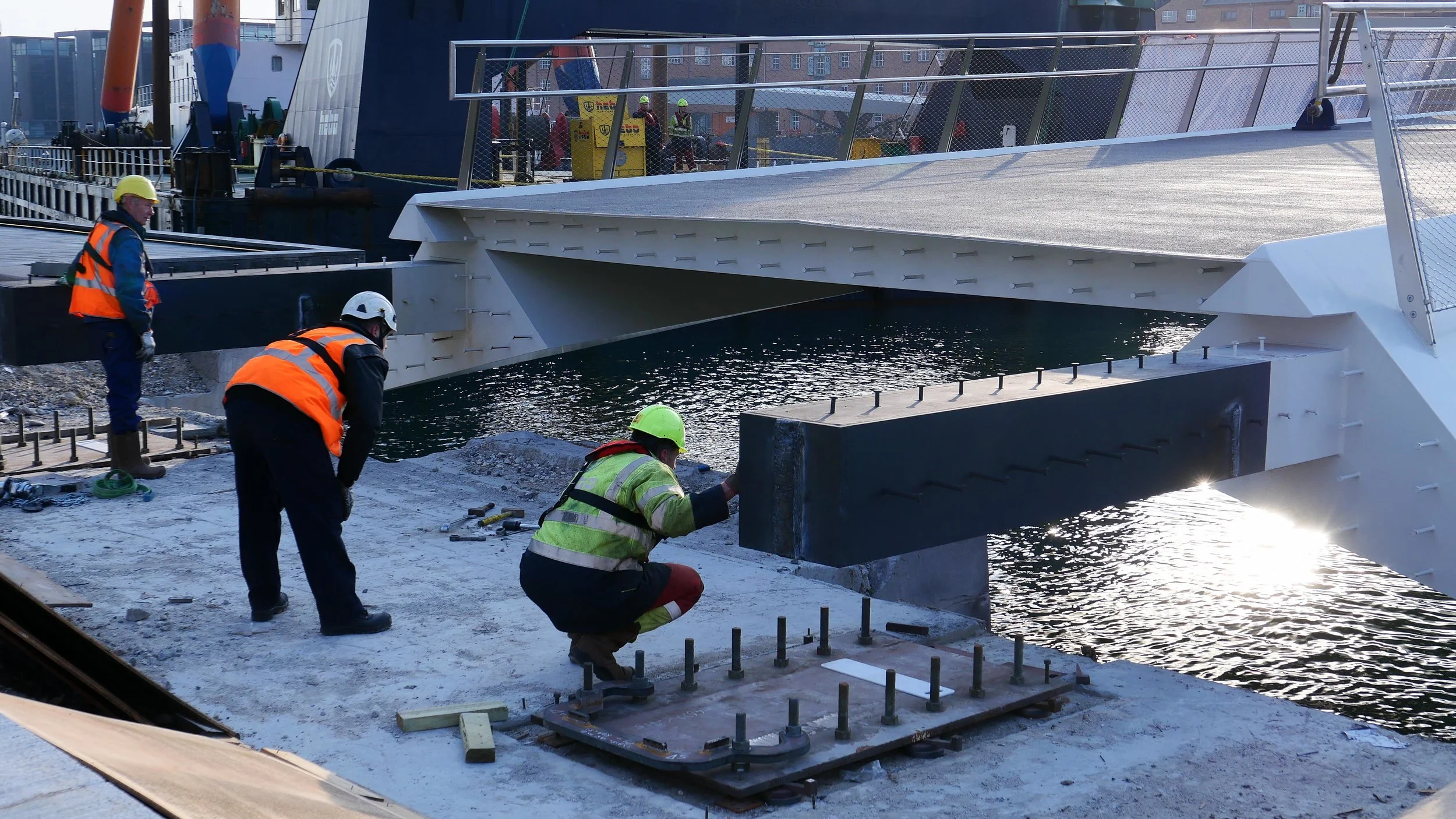
That was replaced by a swing bridge in 1903 but after the war, in the early 1950s, that bridge and an adjoining rail bridge were demolished. A temporary bridge had been constructed and then, in 1954, the present wide road bridge - Langebro - designed by Kaj Gottlob was completed. This took traffic from H C Andersens Boulevard not to Christianshavn but to Amager Boulevard, a major new road outside the defences.
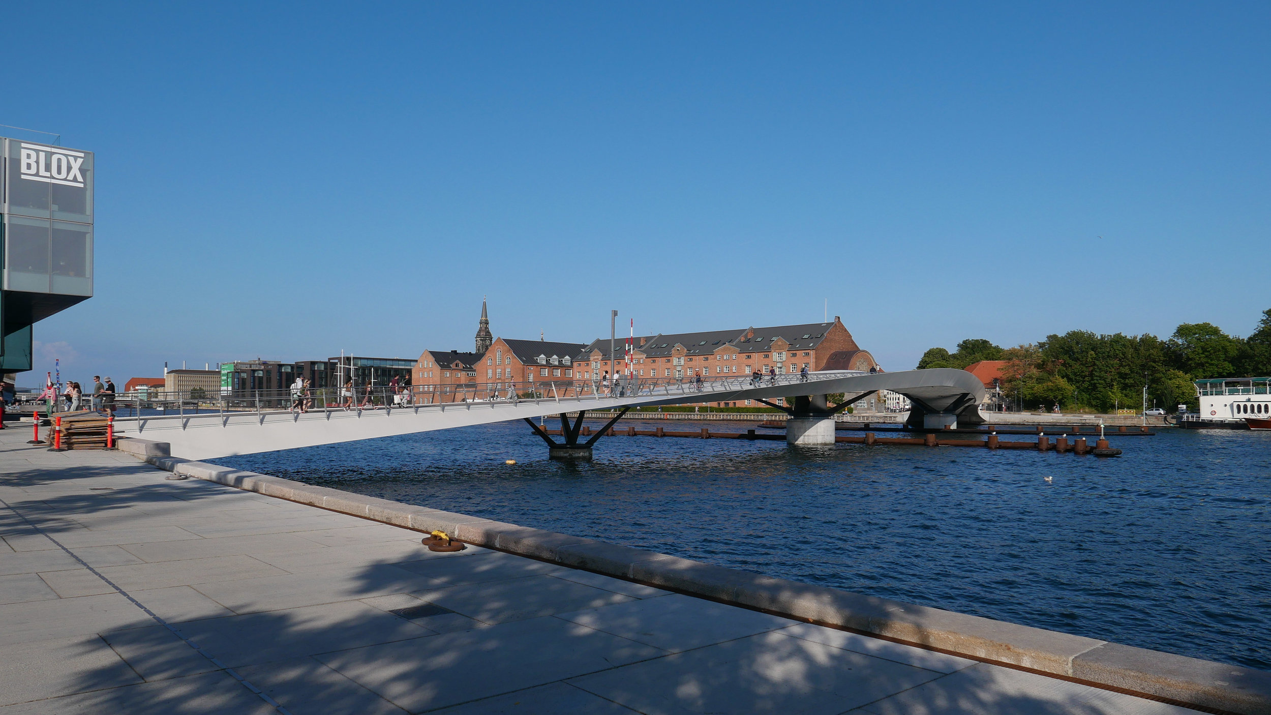
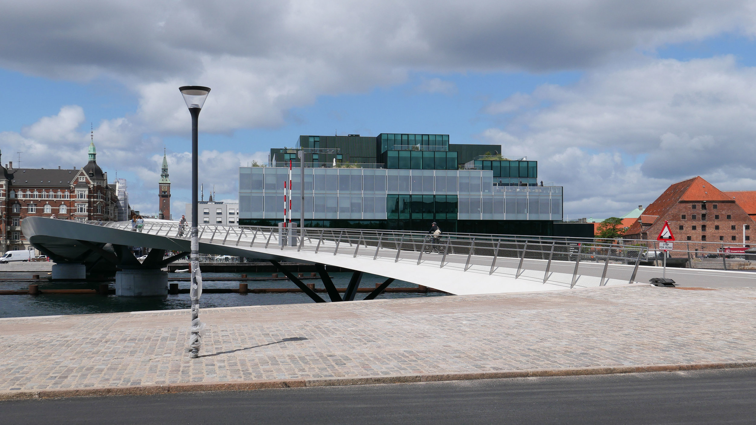
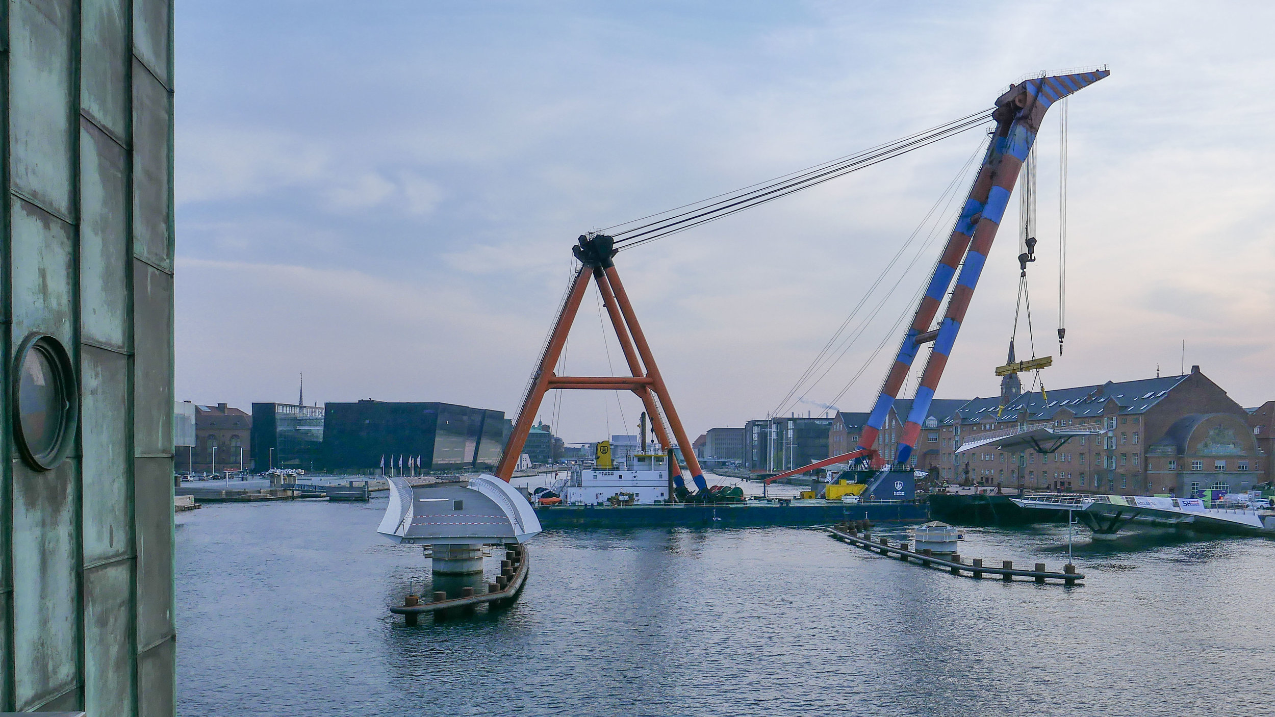
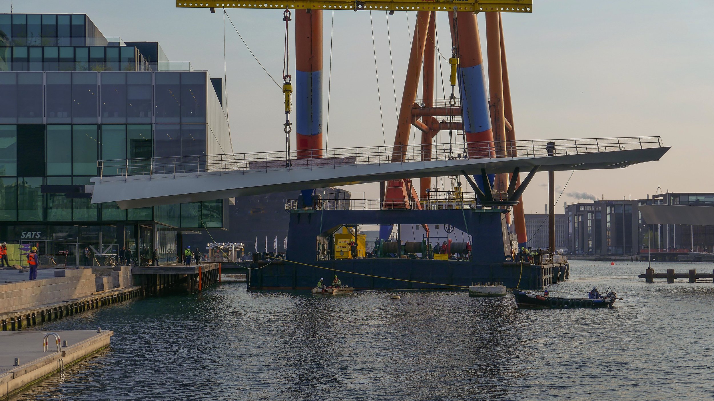
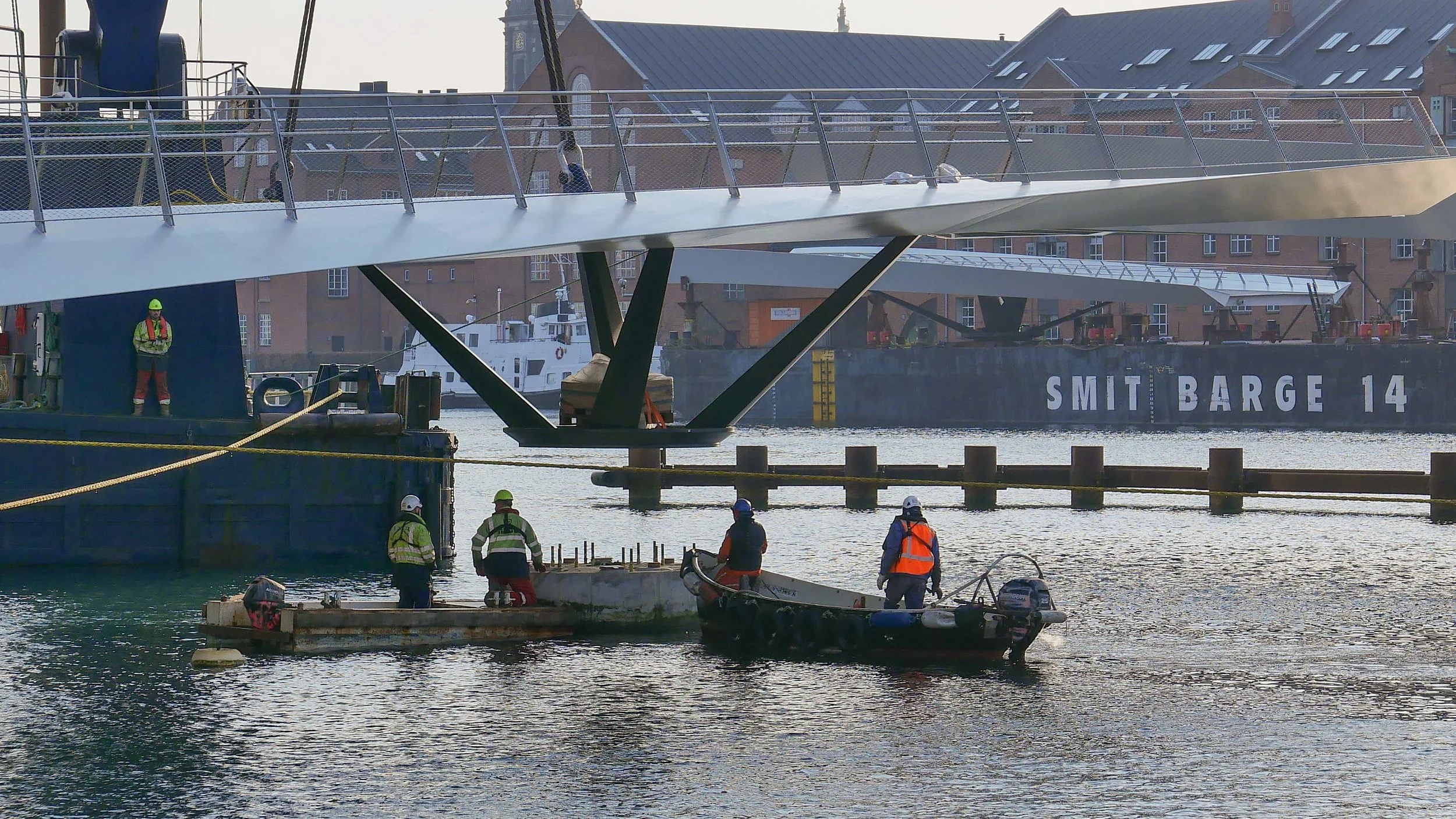
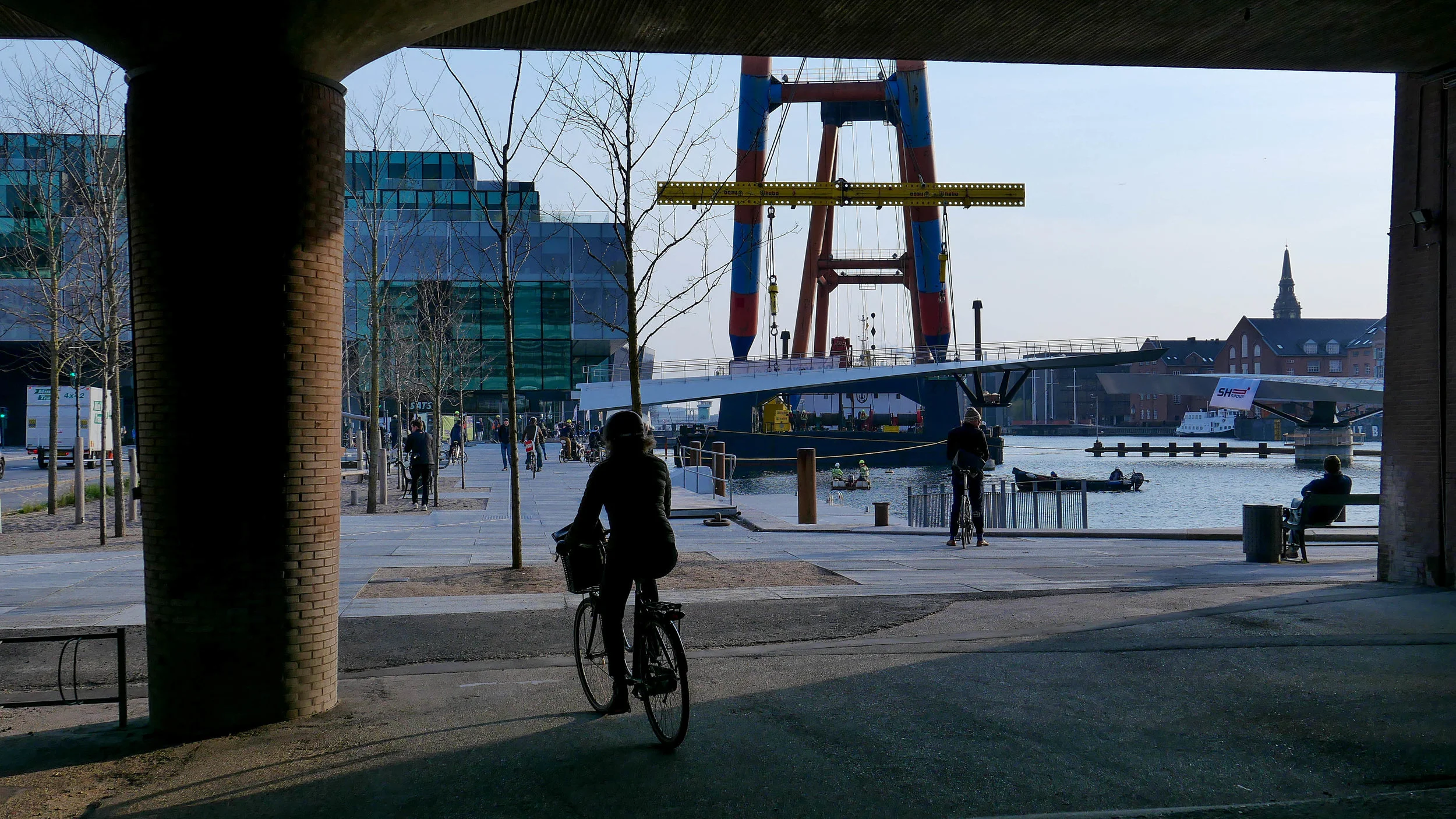
The bridge has heavy use by road traffic- including up to 35,000 bikes crossing Langebro EACH DAY - so the new bridge is designed to encourage cyclists to take a separate route.
There has been extensive development lower down the harbour, with new apartment buildings on the Amager side below Islands Brygge, so the main approach ramp to the bridge on that side of the harbour will be turned in that direction although many from Christianshavn and from the east side of Amager also cycle into the city so the diagonal run of Langebrogade, inside the old defence works, should become a much more important cycle route.
On the city side of the new bridge, Vester Voldgade has been re landscaped to provide a safer and more attractive route into the centre with a wide bike lane for a way into the city centre that is parallel to H C Andersens Boulevard and will take cyclists directly to the City Hall Square and the new major metro interchange that will open there next year or it will give them a route on round to the central station where there are plans to rebuild and extend the cycle storage facilities there.
You can see now how the integrated bicycle and metro and train systems are being linked together.