UN 17 village on Amager by Lendager

January 2019 - the site for the UN17 Village by Lendager Group - the view is looking north along what is called Promenade - the west boundary of Ørestad - Kalvebod Fælled is to the left

Recently, it was announced that housing on the last large plot in Ørestad Syd where building work has not started will be designed by the Lendager Group and Årstiderne Arkitekter and the engineers Arup.

At the south-west corner of Ørestad, it is perhaps the most prominent site, in this major development area in Copenhagen with the open ground of Kalvebod Fælled immediately to the west and to the south an artificial lake and then extensive views out over pastures and meadow.

Given the character of the site, it seems appropriate that this project should go to an architectural practice that is establishing its reputation around its innovative approach to sustainability. In fact, the large development of apartment buildings here is being described as a village and promoted as the first development project in the world that will address all 17 of the UN Sustainable Development Goals.

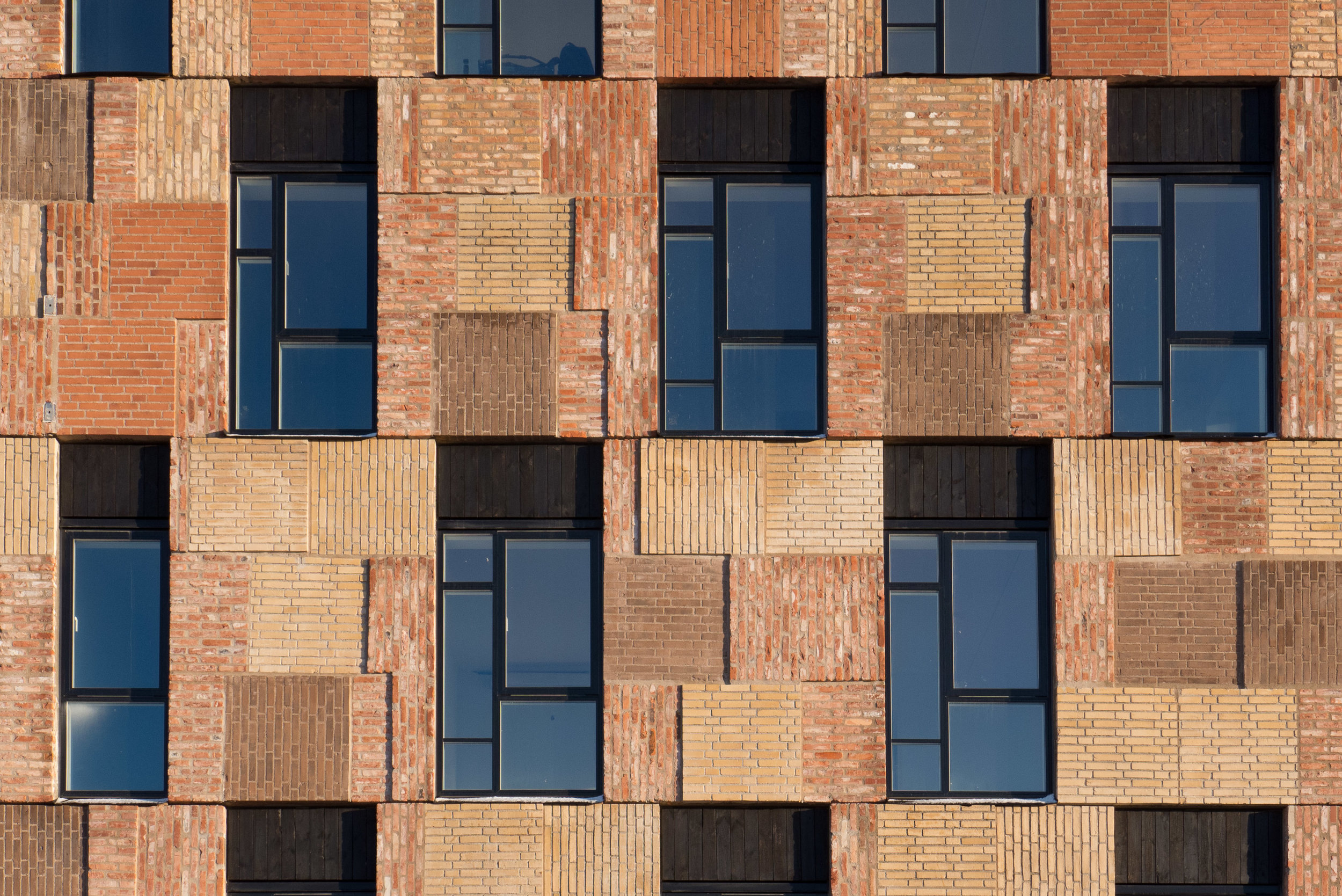
Concrete wood and glass used in the new construction will be recycled materials but also the housing will be designed to provide an opportunity for the residents to have a sustainable lifestyle.

There will be 400 new homes here in five housing blocks with courtyards and rooftop gardens. Rainwater will be collected with up to 1.5 million litres of water recycled every year.

It is planned to be a mixed development - a very mixed development - with 37 different arrangements of accommodation - called typologies - with family dwellings; co living and homes for the elderly along with communal space; a conference centre to host sustainability events; an organic restaurant and greenhouses with plans for schemes for food sharing.

When completed, there will be homes here for 800 people and 100 jobs.

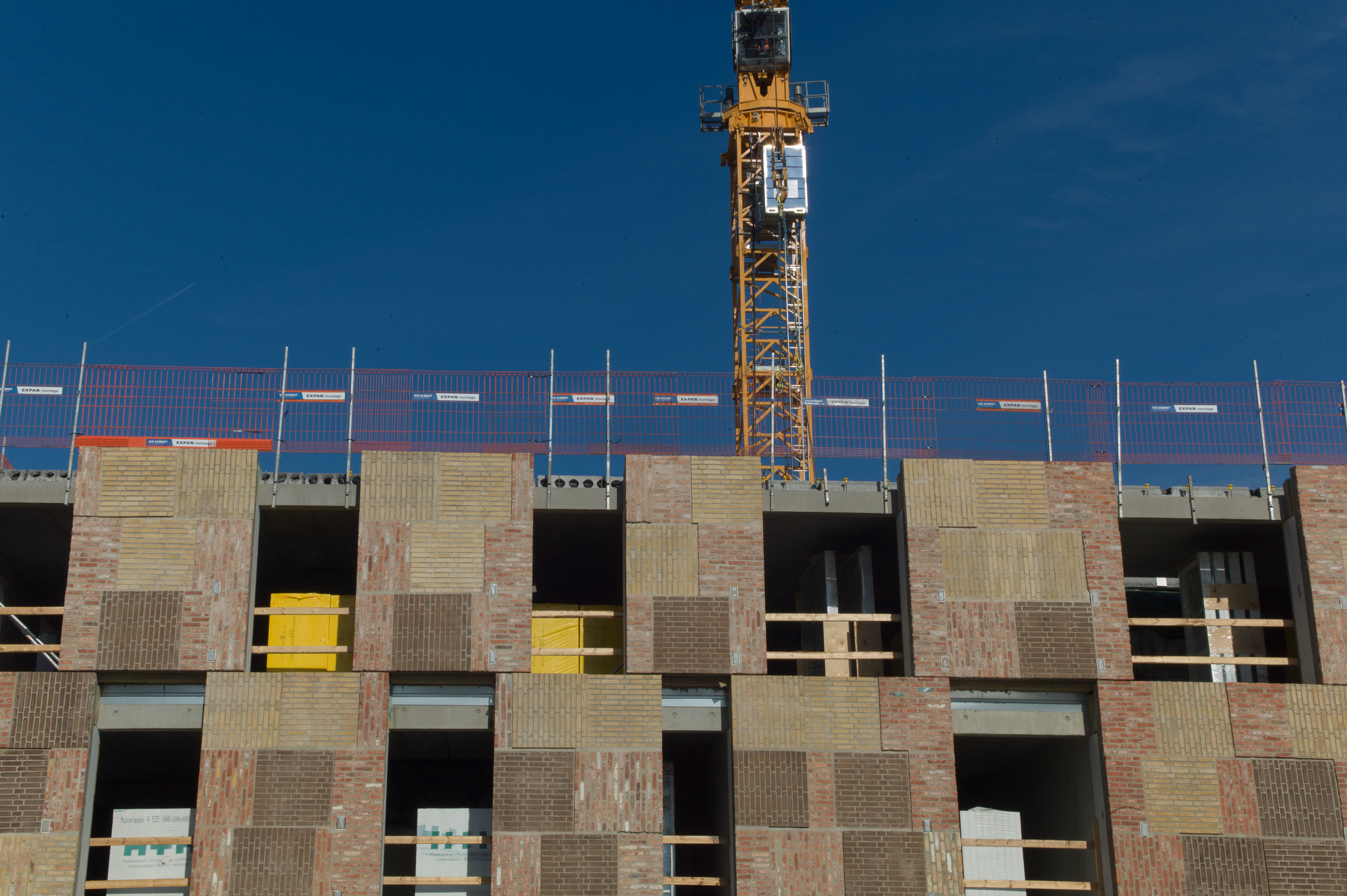
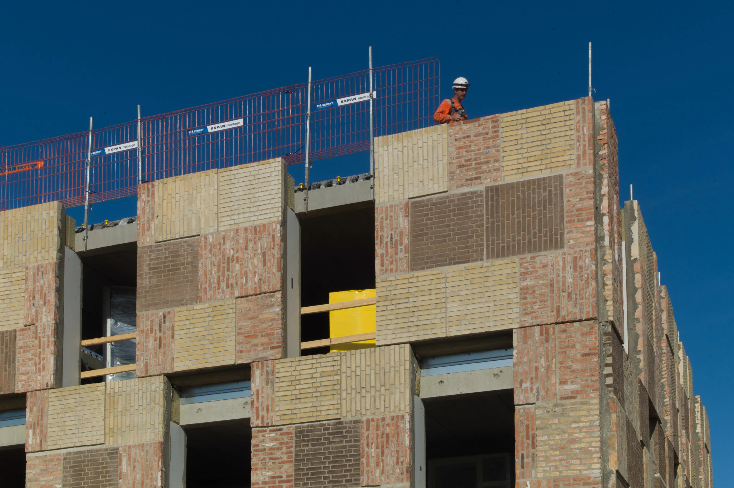
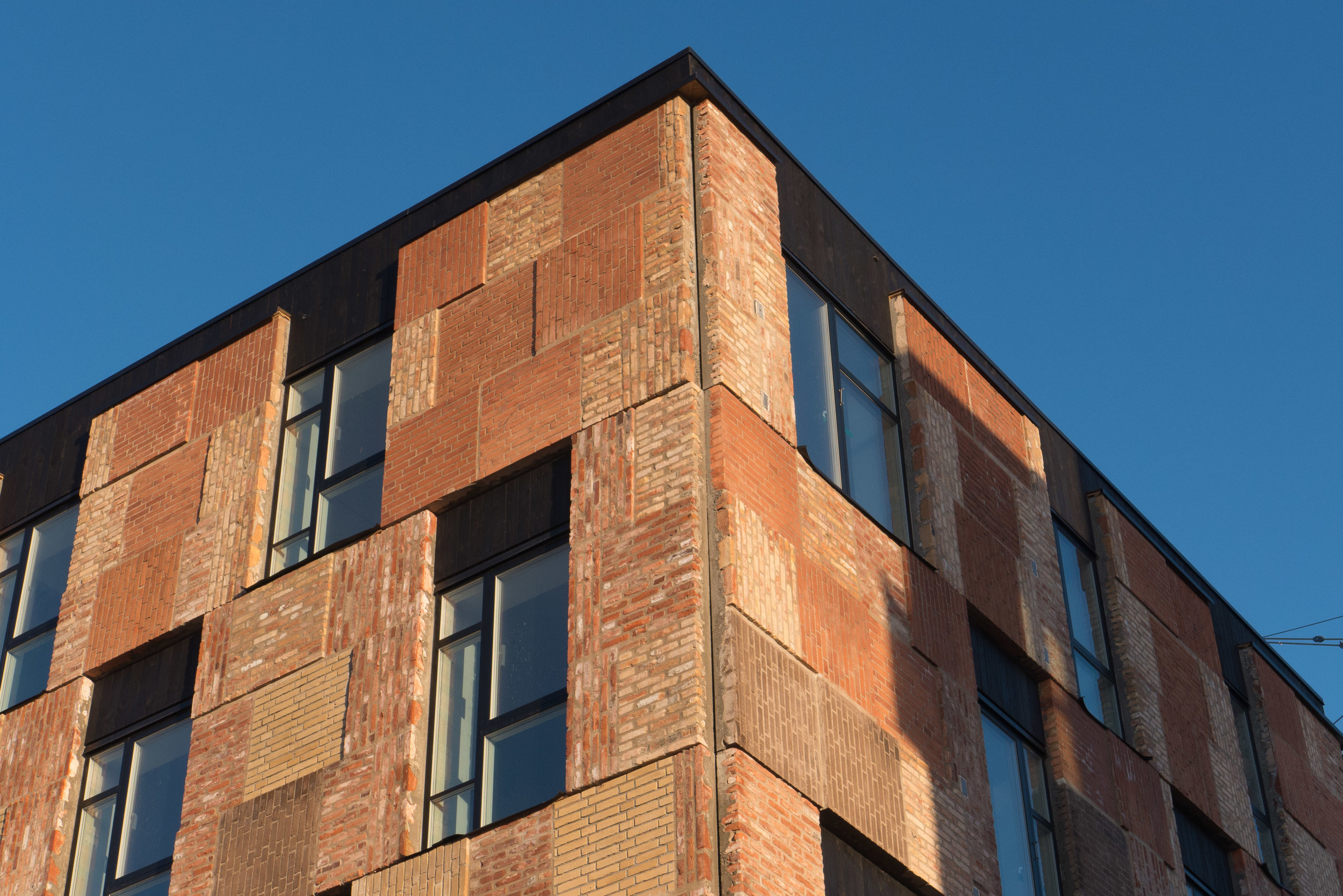
Initial drawings show that the design will break away from the grim style of many of the recent and nearby apartment developments in Ørestad, replacing flat facades of dark brick with what appears to be a regular and exposed framework of pale concrete piers and beams with balconies and glass set back within that grid and although high at the north end, the blocks will step down in a series of terraces so they will be lower in height towards the lake and the open common.

UN17 Village, Lendager Group


drawings from Lendager Group


UN17 village overlooking Kalvebod Fælled

With the area of Ørestad marked by a dotted white line and the plot for housing designed by Lendager at the south-west corner marked in orange - this aerial view of Amager was produced simply to show the site and the context.

From the air - and, of course, on the ground - you can see how the proposed housing will be at a key point between the densely built housing blocks of Ørestad and the open common of Kalvebod Fælled.

It also shows the extent of Ørestad for readers who have not been to Copenhagen or do not know this part of the city although, actually, the 8 Building by Bjarke Ingels, just to the east of the Lengager plot and also looking across the common, is now a tourist attraction.

The position and the extent of Copenhagen airport on the east side of Amager is obvious but what might not be so obvious is the odd small tongue in the sea in the centre of the east or right side. That is the end (or start) of the rail and motorway bridge linking Copenhagen and Malmö. The road and rail links drop down into a tunnel between the shore and the bridge.

The road and the rail links run east west and straight through the centre of Ørestad which is why Ørestad City, with a rail and metro interchange, was planned as a major business centre.

At the centre, at the top of Amager, are the distinct lakes and 17th-century defences around Christianshavn and above that part of the historic centre of Copenhagen.

It is the first time I have produced a map of this part of the city for this blog and I realised that I have a slightly distorted view of Ørestad. Over the last five years or so I have done the trip out to this part of the city at fairly regular intervals - partly because I like having a coffee in the lakeside restaurant in the 8 Building with a view out over the common - but mainly because I want to observe and to photograph the area as it develops. A standard trip is to get the metro out to the end of the line, have a coffee and then walk back to where I live in Christianshavn exploring and taking photos.

The metro emerges from its tunnel alongside the university area at the north end of Ørestad and then curves round past the distinctive blue cube of the Danish Radio concert hall before running the full length of Ørestad on an elevated concrete track.

The image I have is of a very large or rather a very long and densely built development but flanked by the much older areas of small plots and gardens and individual houses to the east and open common land to the west and south. That much is true but somehow I had set in my mind that Ørestad was almost a sixth digit on the famous Copenhagen Finger Plan … even if that seems like a slightly perverse understanding of anatomy. But it's not a finger. The Fingers are much much larger, and much longer and much more suburban in character, so each finger is a string of housing and centres for shopping and commerce and based along the lines of the suburban railway. I'm not sure how Ørestad fits in my mind map of the city now … maybe a name tag hung from the wrist.

Resource Rows, Ørestad Syd by Lendager

June 2018 - rapid progress


A major housing project in Ørestad by Lendager is moving fast towards completion.

This is housing around an enclosed courtyard on a plot about 250 metres south of the new Royal Arena

It is a wide site from east to west but relatively short north to south and there will be three-storey row houses along both long sides and taller blocks across the shorter east and west ends of the courtyard.

Drawings for the scheme show extensive planting in the courtyard with well-established trees and with climbers or plants on the walls of the courtyard and extensive gardens and green houses across the roof.

drawing by Lendager Group

But it seems, from walking around the site, that there could be a very real problems with shadow across the building and across the courtyard. This is not just a problem with this development but a significant problem across the district.

A masterplan for this part of Ørestad was produced by the Finnish company ARKKI in 1995 and although the specific form of key buildings - like the new Royal Arena and the recently completed school - have changed from the layout shown then, the arrangement of roads and building plots has survived. However, the housing and apartments as built, over the last year or so, appear to be much higher than originally planned with more floor levels - to increase housing density - so the buildings have a much longer and unbroken area of shadow and that is obviously much more of a problem at this time of year when the sun, although often bright and in a clear sky, is low in the sky.

Here, there are tall buildings immediately to the south with just a narrow road between the two developments but the higher blocks at the east and west ends of the Lendager building itself will also throw shadows across the courtyard from the early morning and the evening sun.

To be more positive, the really striking feature of the building will be the facing panels of recycled brickwork. These are not old bricks that have been salvaged and cleaned and re-laid but they have been cut in panels from buildings as they were demolished … in this case buildings on the Carlsberg site in Copenhagen.

Old lime mortars tends to crumble away as a building is demolished and individual bricks can be cleaned and reused but modern mortar is so tough that bricks are damaged or shatter if you try to salvage them individually.

This method of creating facing panels for new buildings has been shown by Lendager at exhibitions at the Danish Architecture Centre.


Resource Rows, Lendager Group

January 2019 - a much clearer idea of the final appearance with windows fitted and the strong black skyline but note the deep shadow across the south-facing row houses on a bright winter day early afternoon - general view taken from the south-west


Pelican Storage

In the Wasteland exhibition at the Danish Architecture Centre about the pioneering work of the Lendager group on up cycling building materials there were separate sections on their research on reusing glass or timber or brick and so on and in each section, as well as discussing broad ideas, they focused on a building that illustrates in a more tangible way what they have achieved already or what they are doing with ongoing projects.

For their work on up cycling concrete they showed drawings and plans and a section of shuttering they are using for a new self-storage facility for Pelican where work is now well in hand.

The new unit is at Prags Boulevard, less than 2 kilometres from DAC, so it seemed like a good idea to show photographs of the building itself. 

Concrete from the old paint factory that was on the site has been crushed and reused following demolition. There were some old workshops on the site so new workshops have been incorporated into the new building on the ground level and there is space on the site for 600 square metres of urban garden where locals will be able to grow vegetables.

Lendager on the Pelican building


section at the Wasteland exhibition on up cycling concrete with various samples of aggregate and crushed concrete; trial pieces for the design of the panels for the new building with a full-scale section of the panelling and a model of the self-storage building

shuttering for the large panels of concrete have a stylised pattern of tree branches ... the photograph from below, before the fronts of the entrance and doors to workshops have been inserted, shows the hefty layer of insulation behind the panels because, of course, temperature control to avoid condensation is crucial for a self-storage unit